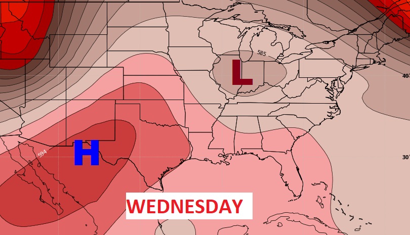
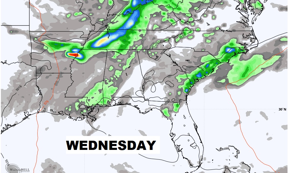
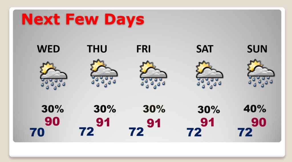
Good Morning! Our better than normal rain chances continue today. We are still on the wet side of that Upper Low in the mid-Mississippi Valley. Showers and storms will be in ample supply, especially by this afternoon and this evening. But, as that low migrates toward the Great Lakes tomorrow, our forecast will start to take on more of typical, familiar June/summer pattern. There will be fewer random storms each day, and highs will be close to 90 degrees each day. I have updated the forecast numbers through the weekend. And, I have the latest on that Area to Watch in the Caribbean on your Tuesday morning video
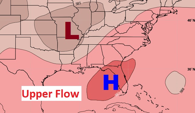
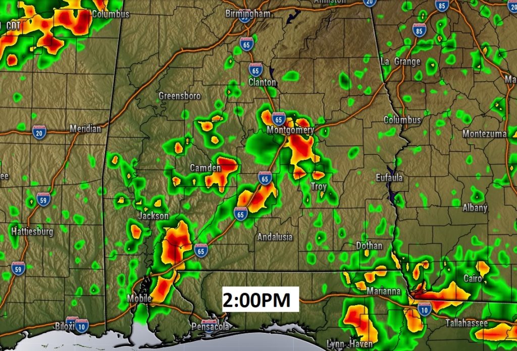
Once again today, the stage is set for a generous supply of showers and storms across the area, especially in the afternoon and evening. We are on the WET side of that bigger upper low in the middle of the country.
Tomorrow, as the upper low migrates toward the Great Lakes, high pressure builds in the upper atmosphere. Random hit or miss storms will thin out in number for the rest of the week.
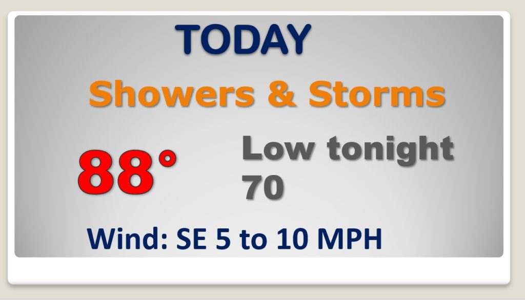
As the storms thin out, Wednesday through Saturday, daily highs will be back near 90. It will be very humid. I’ll bump the rain chances up just a notch on Sunday.
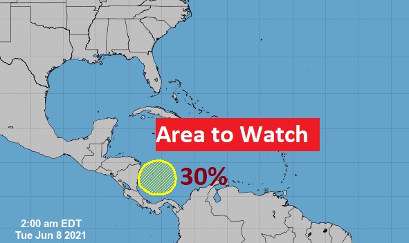
NHC continues to monitor that Area To Watch in the SW Caribbean. Now, it has a 30% chance of development in the next 5 days as it moves in the general direction of the Yucatan.
