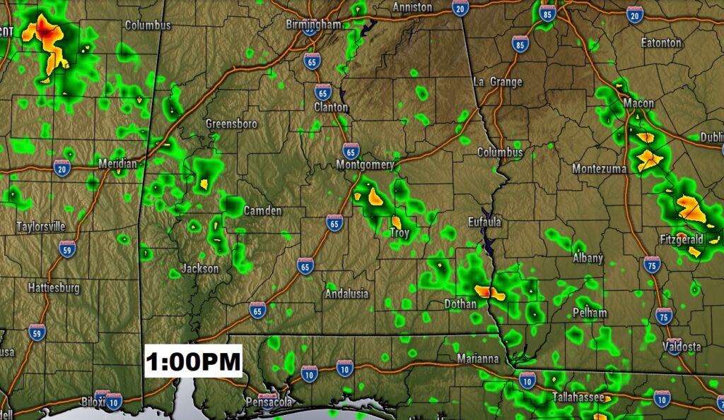
Good Morning! There were handful of tropical downpours roaming around yesterday, and there will be a few today. But, each day there will be fewer storms on the radar. “Hit or Miss” storms will be around each day, but there will be more misses than hits. The big story will be the heat and humidity. The Heat Index will be in the triple digit range for the next several days. I have updated the numbers and the rain chance through next Wednesday. Are you headed to the Beach this weekend? I’ll show you what Beaches will have a dangerous Rip Current. Plus, we’ll check the tropics.
As High Pressure builds on top of us in the upper atmosphere, the number of storms will start to “thin out”. Still some tropical downpours will be around….just not as many. Hot and Humid!
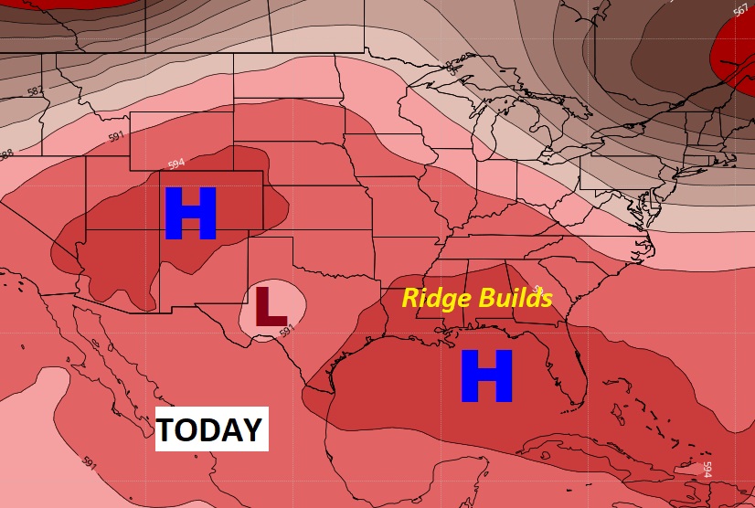
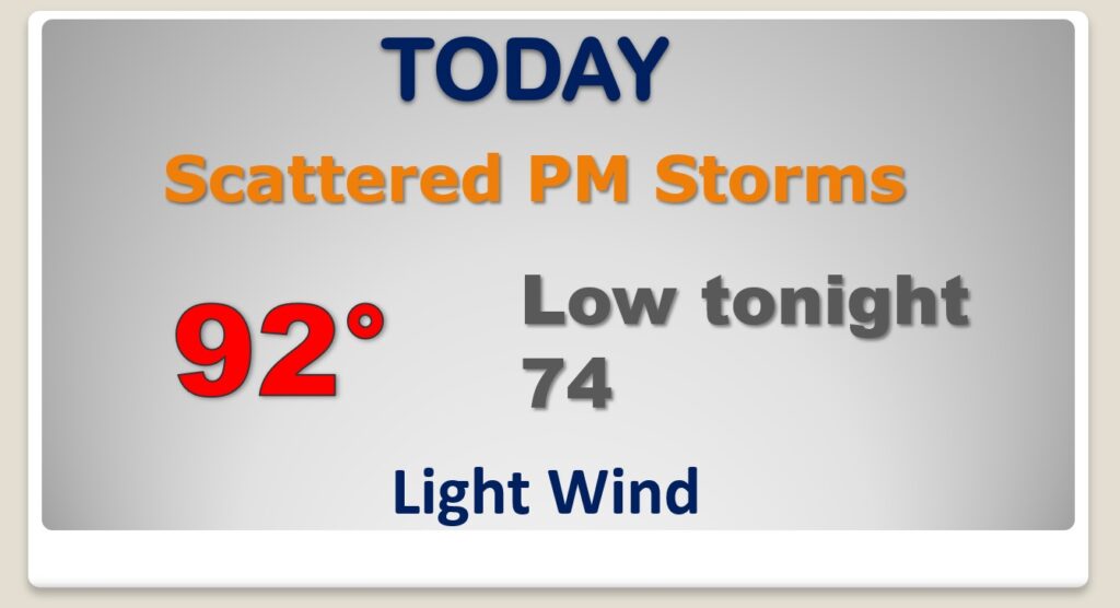
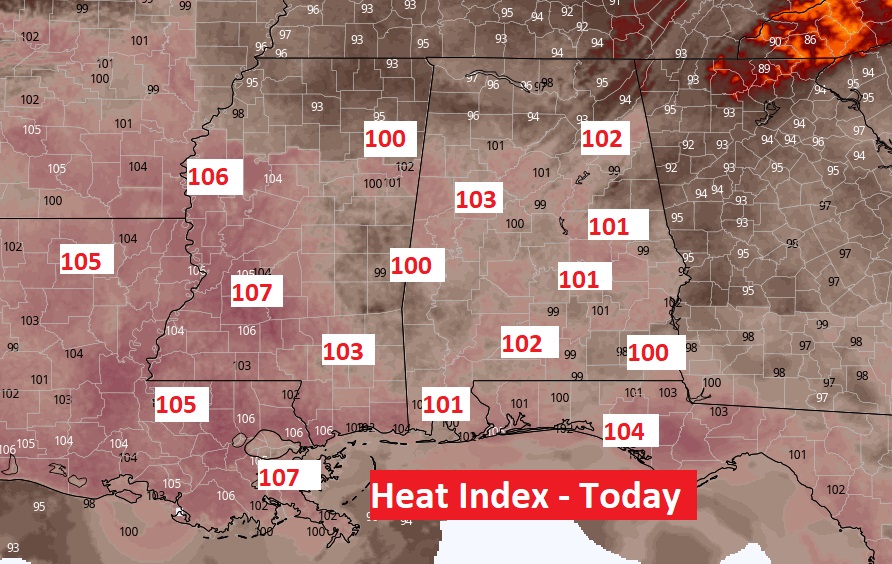
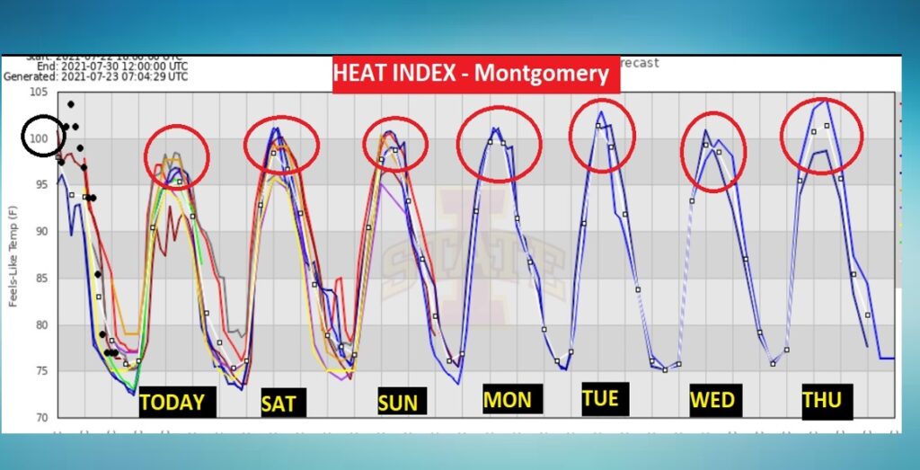
The Heat Index will become the big story today and over the next several days. It will be in the dangerous triple digit range.
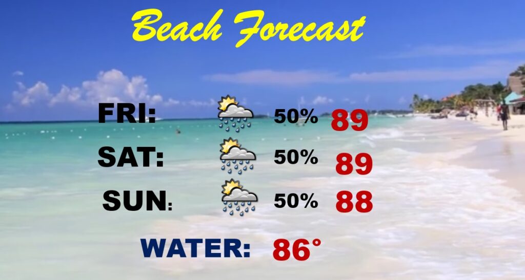
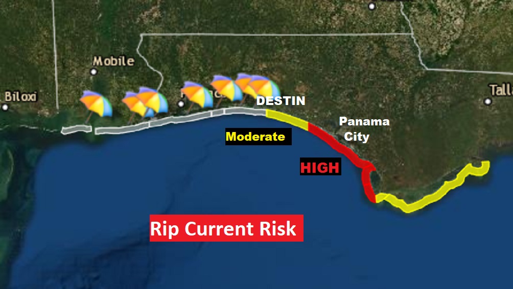
The Beach Forecast for the weekend is pretty routine, but watch the flags on the beach. The Beaches around 30-A and Panama City have a HIGH Rip Current Risk. Destin has a Moderate Risk. So, far the Alabama Beaches have a low risk.
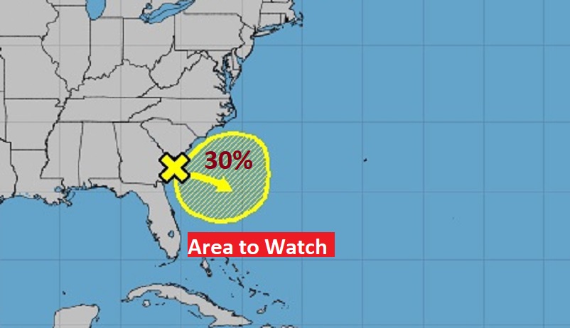
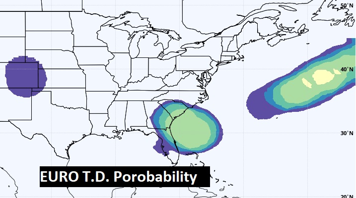
NHC continues to monitor that Area to Watch just off the U.S. Coast. 30% chance of development.
NHC says:
A trough of low pressure located just offshore of the coasts of
southeastern Georgia and southern South Carolina is producing
limited shower and thunderstorm activity. Environmental conditions
are forecast to be marginally conducive for some gradual
development over the weekend and into early next week while the
system drifts offshore of the southeastern United States.