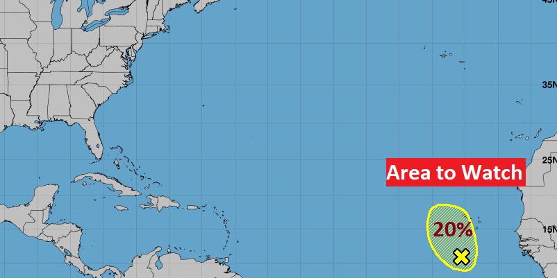
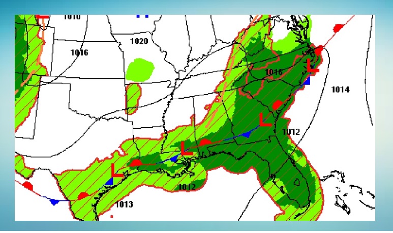
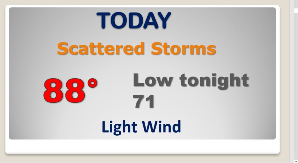
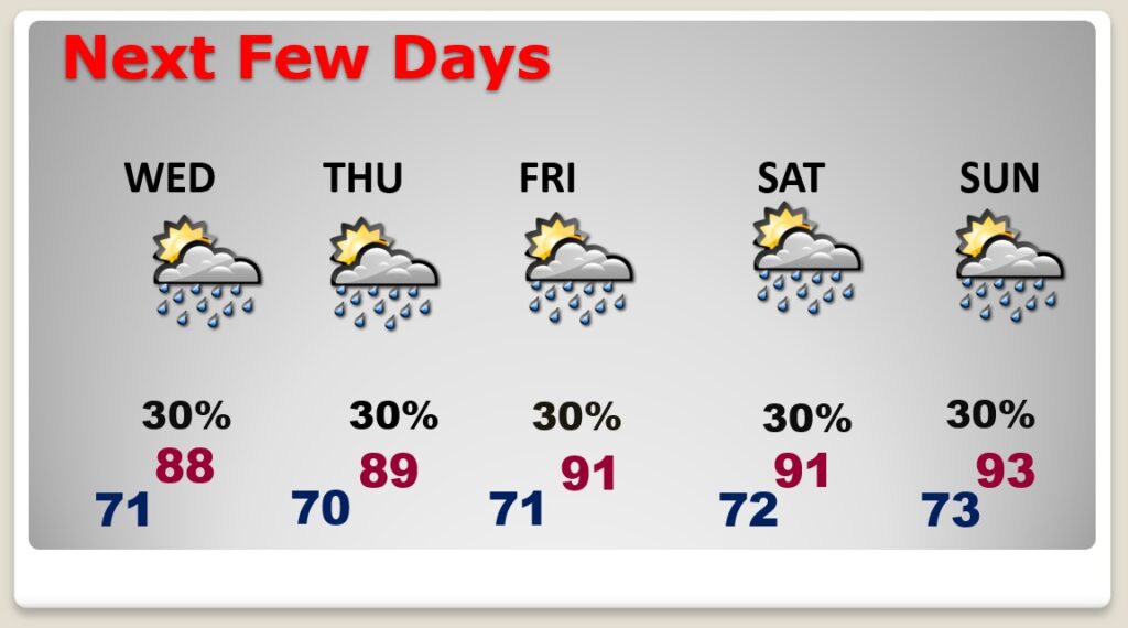
Good Morning! The front that brought the big storms to central Alabama has reached the coast, and will be parked there for several days. There will still be a risk for scattered storms in our local forecast today and for the next several days. But, today should be much “tamer”. Far less drama than yesterday. Meanwhile, temperatures will continue to be rather reasonable, compared to last week. Most days will be in the upper 80’s. We’ll edge back to 90 or above by about Friday. I have the adjusted numbers, including the rain chance through the weekend. In the tropics there’s a new “X” on the map. An Area to Watch.
Getting back to a more routine forecast today. Spotty storms here in central Alabama. Concentrated storms near the coast where the front is stalled. Upper 80’s today is so much better than last week.
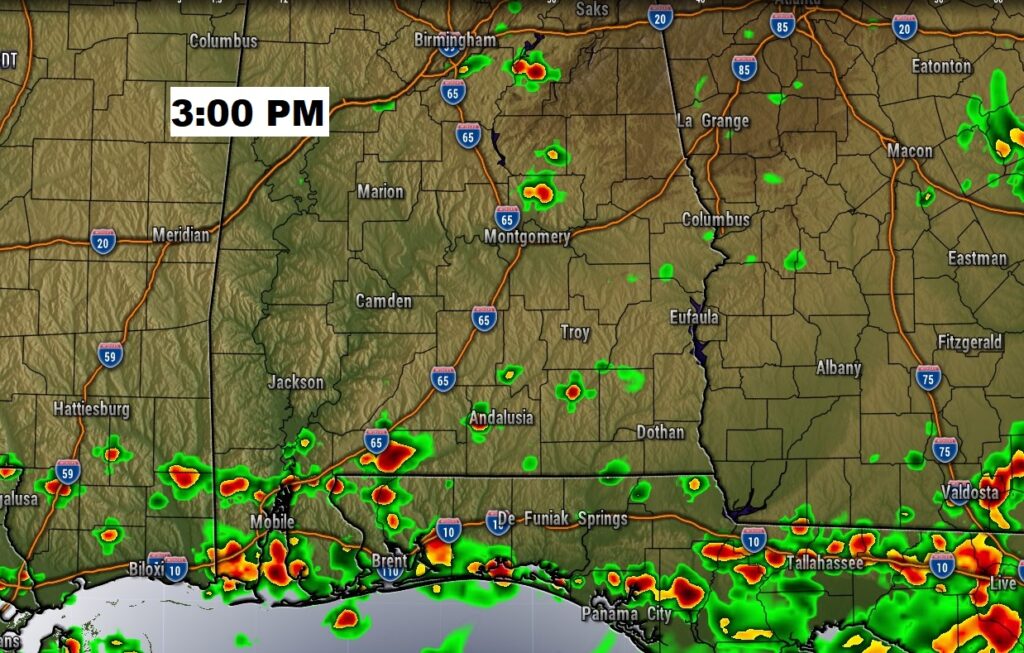
Our forecast is rather routine for a few days. Spotty random PM storms. Upper 80’s through Thursday. 90 or above Friday and through the weekend.
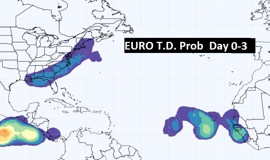
There’s a new Area to Watch in the far eastern Atlantic. NHC gives it a low chance of development in the next 5 days. The EURO model is more generous on the odds for development. ALSO, with that front stalled near the Gulf Coast for several days, we’ll have to watch for potential “home grown” tropical development.