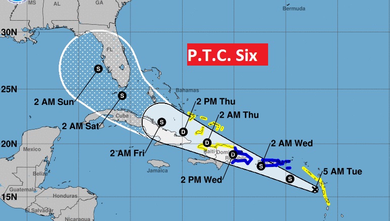
10AM NHC UPDATE:
A NOAA plane says PTC 6 does not yet have a closed circulation yet, but it is better organized, and expected to become tropical storm Fred later today. Tropical storm warning for Puerto Rico and the Virgin Islands. The system will likely weaken over Hispaniola, before regaining tropical storm status before reaching the Keys and into the warm waters of the eastern Gulf this weekend. The forecast cone has shifted slightly to the west.
EARLY MORNING UPDATE:
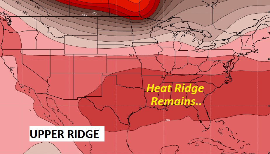
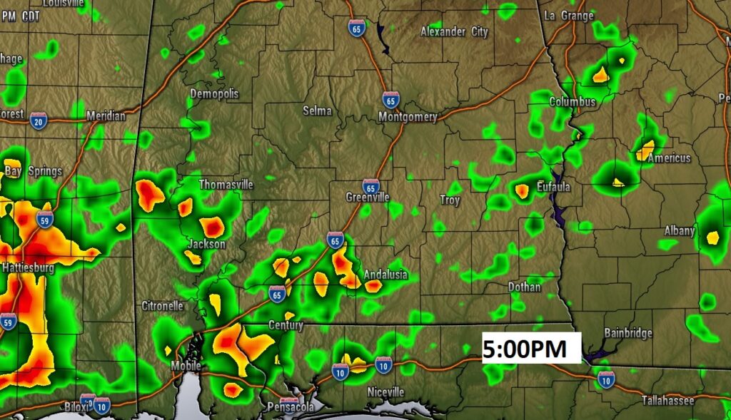
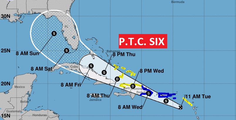
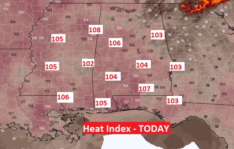
Good Morning! Yesterday Montgomery’s High was 95 with a dangerous Heat Index of 106. We should be close to that neighborhood today, and each day through Friday. Once again today, there will be scattered relief from random thunderstorms. These “hit or miss” storms will be around each of the next several days. Storms may be slightly more numerous Wednesday. Meanwhile, in the Tropics, Potential Tropical Cyclone Six could affect the Southeastern United States as early as this weekend. I have the latest forecast cone from the National Hurricane Center.
Dangerous Heat Index today near 104. High in the mid 90’s Scattered random storms.
Today and for the next several days, the Heat Index will approach the 105 danger range.
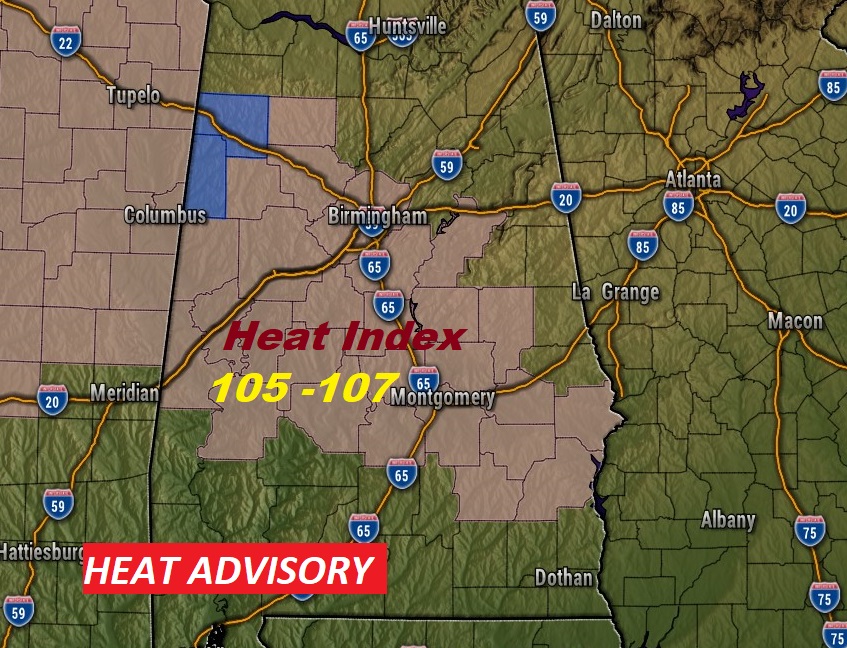
HEAT ADVISORY:
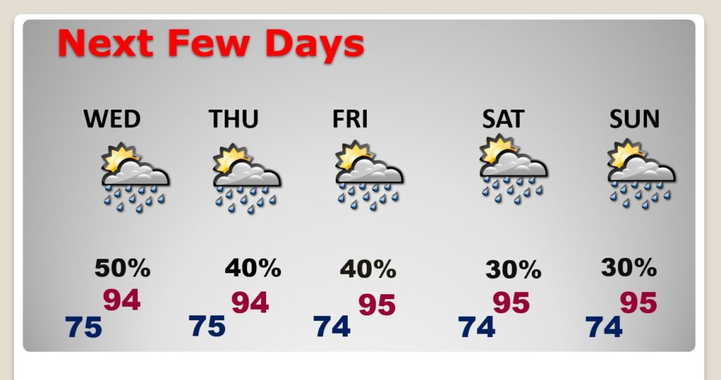
Very little day to day change. Highs in the mid 90’s. Low in the mid 70’s. Heat index 102-105 each day. Scattered random storms. Hit or miss.
Potential Tropical Cyclone Six is now in the Caribbean. It could become a Tropical Depression or Tropical Storm Fred today. a NOAA Hurricane Hunter aircraft will investigate the system this morning. A potential track over mountainous Hispaniola would likely weaken the system. The potential intensity beyond day four is very uncertain. The forecast cone engulfs Florida and the eastern Gulf of Mexico.
