Good Morning from the National Weather Association Conference in Tulsa! Yesterday, for the second day in a row, showers and storms were rather widespread, especially in the afternoon. A little “weakness” in the atmosphere, between two high pressure cells, will influence our state again today. Expect a generous supply of showers and storms. Like yesterday, some storms will approach severe limits. It will be “feast or famine”. Some towns will get flooding rainfall totals. Yesterday, the Montgomery airport for example only had .32”, while 9 miles away, the rain gauge at my house in East Montgomery registered 85”. You could have had MUCH more at your house.
After today, the big story will be heat, humidity and dangerous heat indices. Get ready for a week of excessive heat and scattered random storms.
TODAY: Considerable cloud cover with some sun breaks. High in the lower 90’s. Showers and storms will become quite numerous during the afternoon and evening. Some will put on a show, with intense lightning, gusty winds and tropical downpours. Storms will thin out later in the evening and end overnight. Low 74. Nice westerly breeze today at 5 to 15 mph.
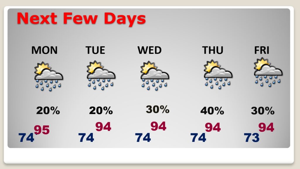
NEXT FEW DAYS: Heat is the big story this week. Highs each day close to the middle 90’s. Lows in the mid 70’s. The Heat Index will tease the 105 danger range. Random scattered storms will not be as common as they have been over the weekend.

HURRICANE HENRI:
...OUTER BANDS OF HENRI MOVING ONSHORE IN EASTERN LONG ISLAND AND
SOUTHERN NEW ENGLAND…
…A DANGEROUS STORM SURGE, HURRICANE CONDITIONS, AND FLOODING
RAINFALL ARE EXPECTED IN PORTIONS OF THE NORTHEAST UNITED STATES…
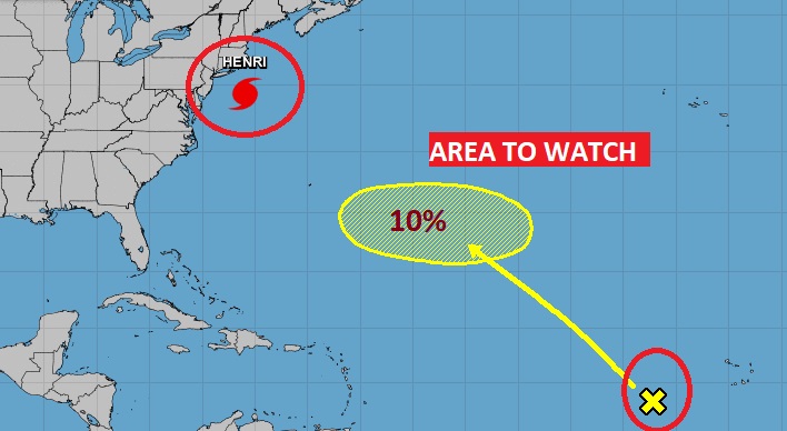
Henri is about to make history. It’s been many, many years since this part of the country has taken a direct hurricane hit. Henri is about 80 miles from Long Island, moving north at 18, with winds of 75 mph. Expected to make landfall near the Connecticut/Rhode Island border just after lunchtime. Millions of Americans will be affected by Henri. Some folks will be without power for many days. Flooding across the northeast will be prolific. Just a hunch, but I’m pretty sure the name HENRI will be retired after this year. Look at Henri’s very interesting future track through New England.

Elsewhere, there is one more Area to Watch in the Atlantic, with a small probability of becoming a Tropical Cyclone in the next 5 days. The rest of the Atlantic, the Caribbean and the Gulf of Mexico is quiet for now.

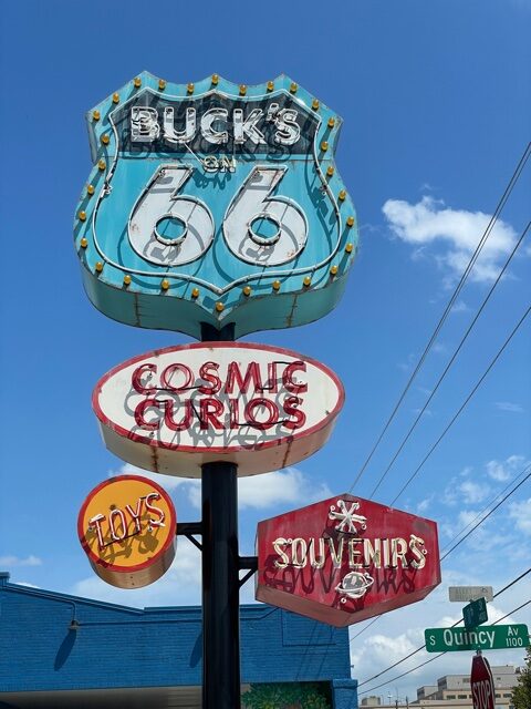
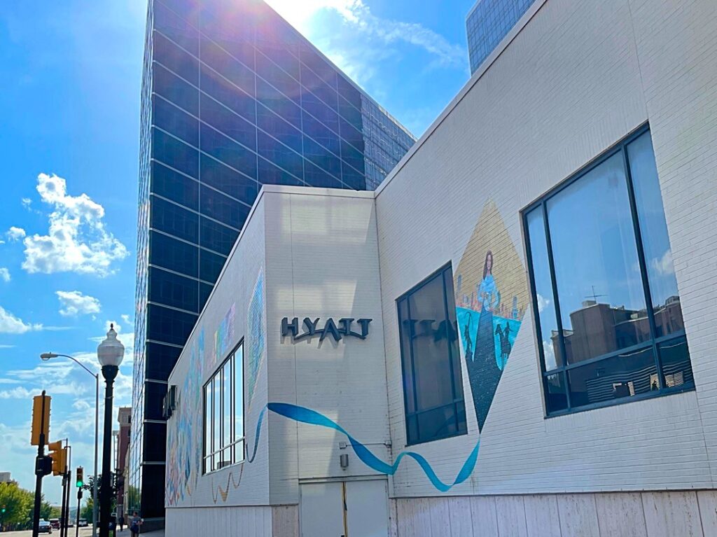
NATIONAL WEATHER ASSOCIATON: Saturday I was a tourist here in Tulsa. Not only that, it was a reunion day with dozens and dozens of my meteorologist buddies from around the nation. We’ve known each other for many years, meeting in a different city every year. This is just what the doctor ordered for me. Very therapeutic. I’m a history buff. Yesterday I had a chance to explore some venues along the iconic, historic Route 66. “Get Your Kicks on Route 66”
Tulsa is a very “cool” city! Once called the Oil Capital of the World. Well, it’s not cool. We are under a Excessive Heat Warning with heat indices of 110 to 115 today! That’s OK. I’ll be in air condition comfort. I’ll be learning all day in our Broadcaster’s Workshop. In my business, continuing education is important. Yesterday was fun…today is business.
I’ll have another Blog Update tomorrow morning from here in Tulsa. Have a great Sunday! Stay cool. Stay weather aware
–Rich


