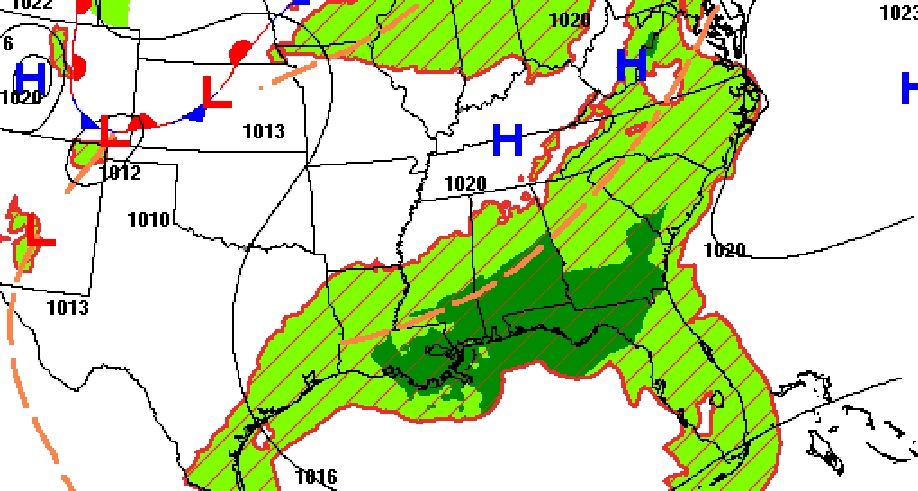
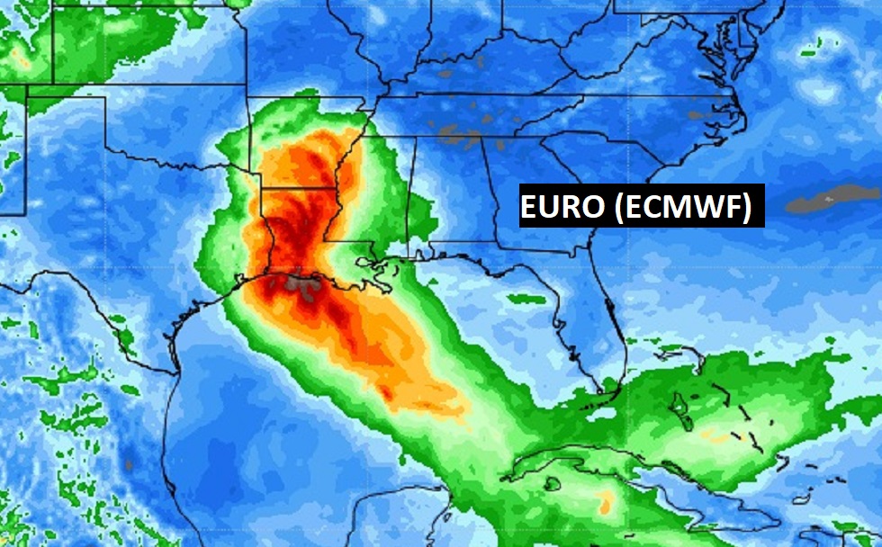
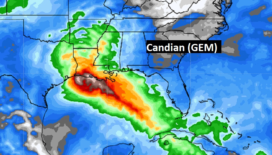
Good Morning! Yesterday we had a dangerous heat index of 105, and there very few storms on radar. Today, we get a little help. A tropical wave will help enhance our rain chance a bit. Hopefully that will help to keep our temperature down just a notch. It will still be hot and humid with 100+ heat indices over the next few days, but scattered, random storms will be in slightly better supply. Meanwhile, the tropics are coming alive in a big way. There are three invests with a number. One of those, Invest 99-L, has Gulf of Mexico implications. Someone, along the northern Gulf coast, may have to deal with Ida, Julian or Kate by early next week. I’ll show you possible tracks.
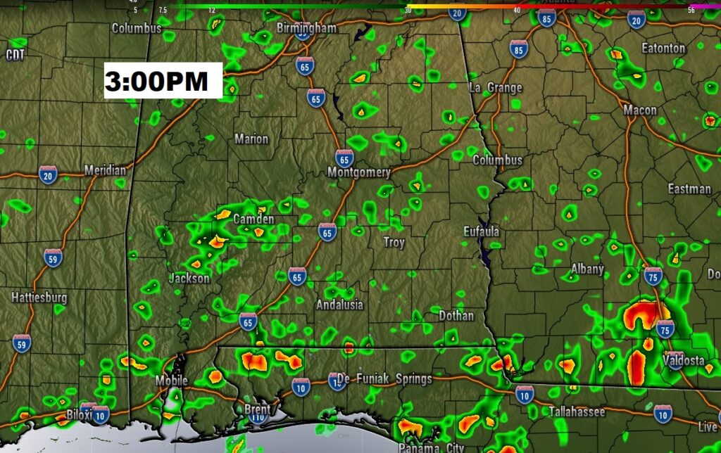
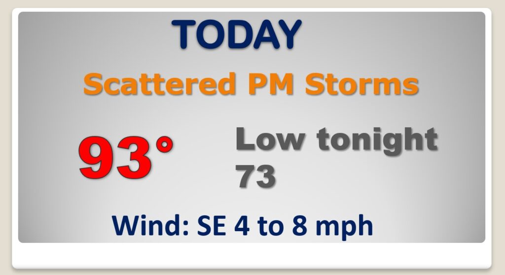
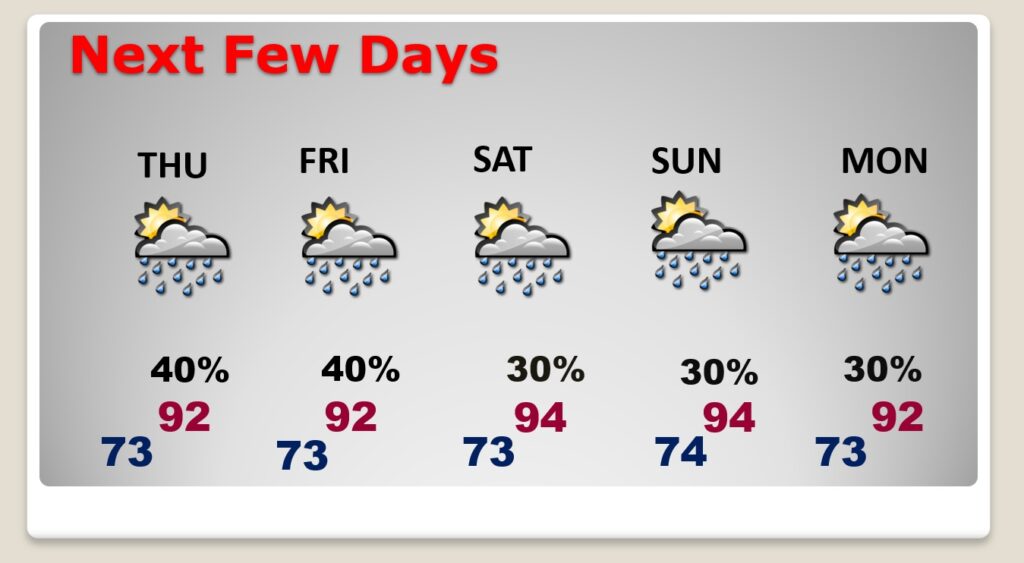
Hot & humid again today with triple digit heat indices, but storms will be in more generous. Your chances of getting wet are better. But, the storms will still be random.
Random storms are back in the forecast. High temperatures will be a little more tolerable through Friday. Back to the mid 90’s this weekend with fewer storms.
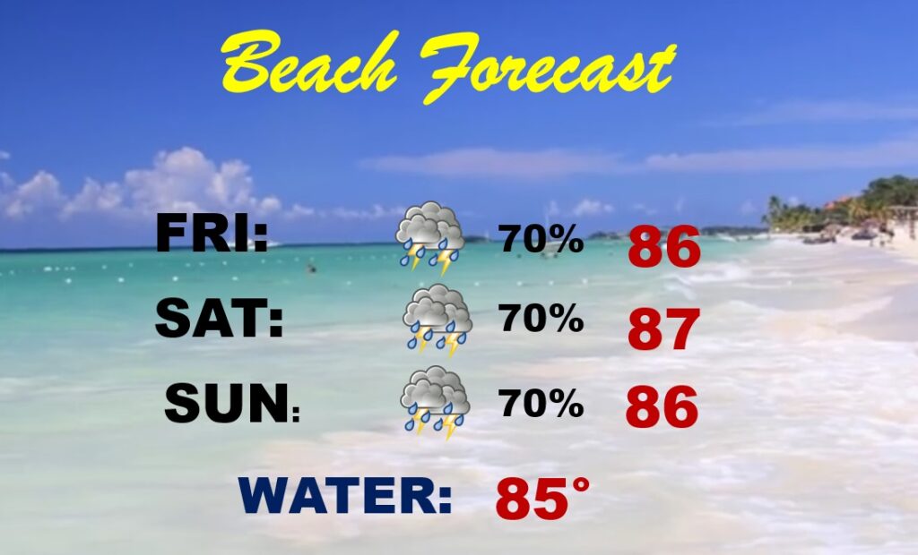
Unfortunately, the rain chances will be much higher at the coast over the weekend. It’s not going to rain all the time, but bring a book. Storms will be in ample supply on the radar.
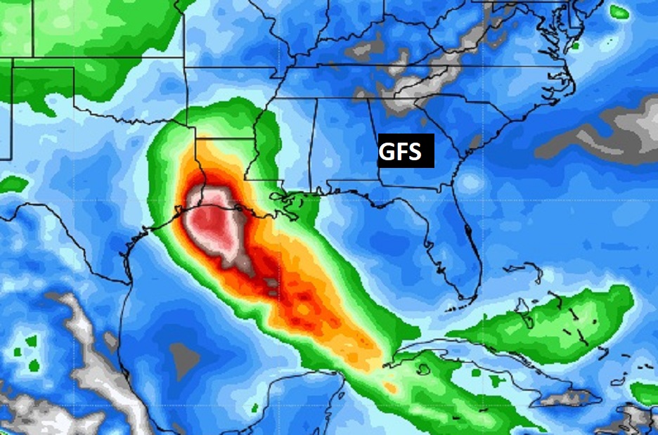
The tropics are VERY busy, with three invests, 97-L, 98-L and the one we care about is 99-L in the Caribbean. It has future Gulf of Mexico implications.
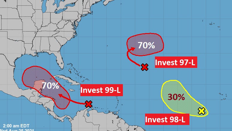
THREE Global Models, the American GFS, the Euro Model (ECMWF) and the Canadian (GEM) model, target the northern Gulf coast. Right now, Louisiana is a popular destination, perhaps early next week. What name will it have? The next three names are Ida, Julian and Kate. Will it be a hurricane? Don’t know yet. Stay tuned. We don’t want the track to shift right. Watching closely.

