
Good morning! Be flexible, and have a Plan “B” for your outdoor plans for the next dew days, through the weekend and beyond. We have a Tropical Airmass in place, and there no signs any changes in this pattern through the early part of next week. Plus, we’re still on the wet side of the Remnants of Nicholas. There will be some tropical downpours at times. On this video, I’ll show you the updated rain chances through Tuesday. I’ll show you potential additional rainfall totals. And, the tropics are still active. We could see two new named storms in the next couple of days.
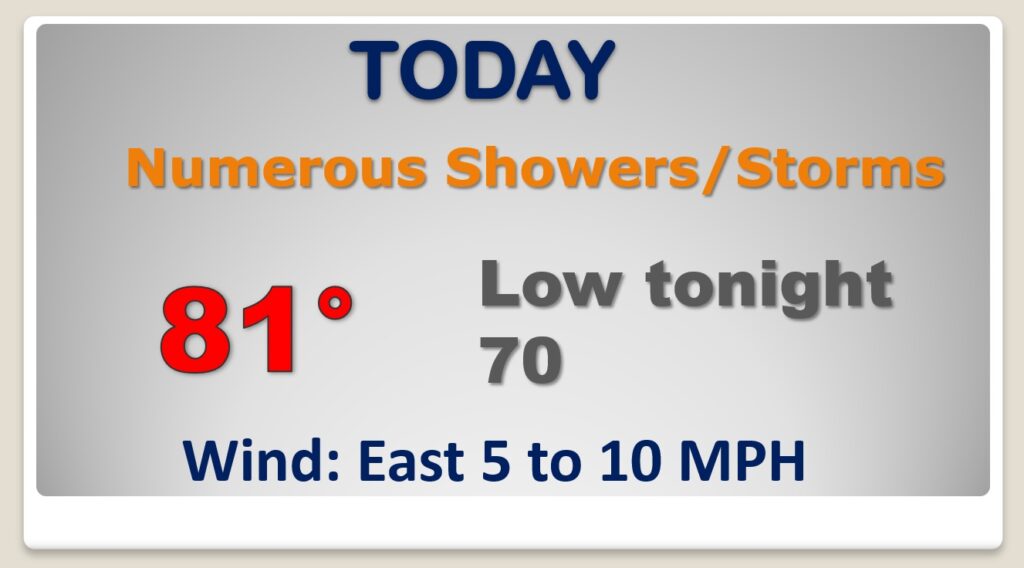
Periods of rain and perhaps a few thunderstorms will be widespread across the Gulf States and much of the southeast US today.
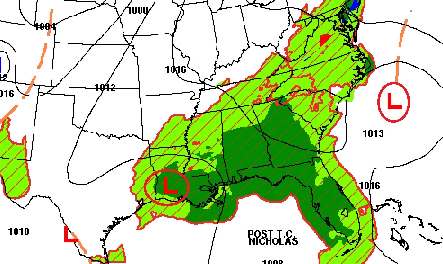
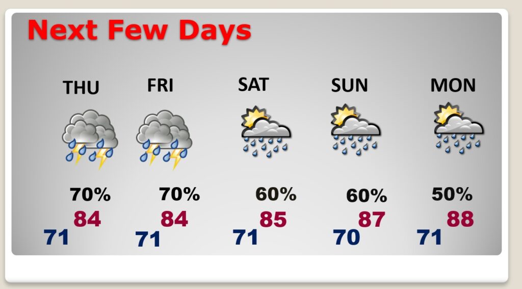
It’s not going to rain all the time, but the ELEVATED rain chance will stick around through the early part of next week.
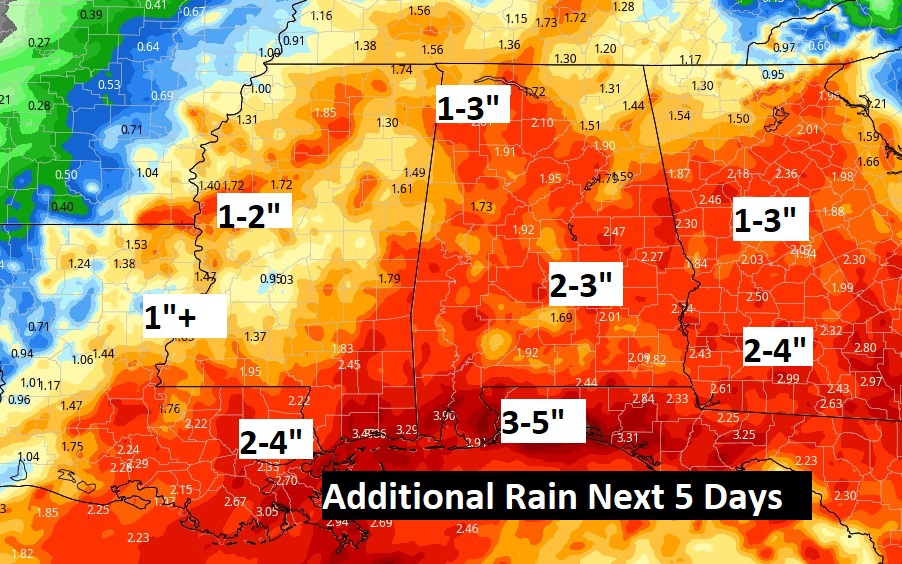
Additional rainfall over the next 5 days could be quite heavy in spots.
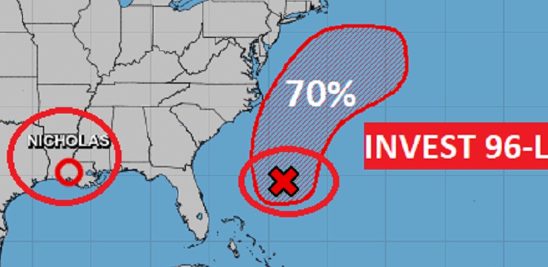
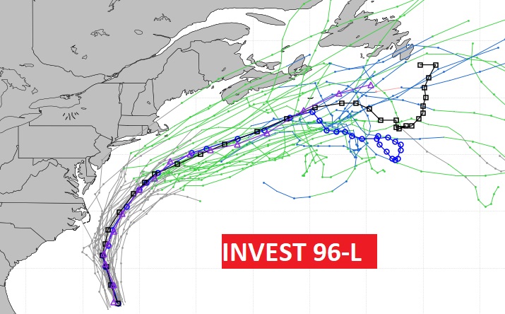
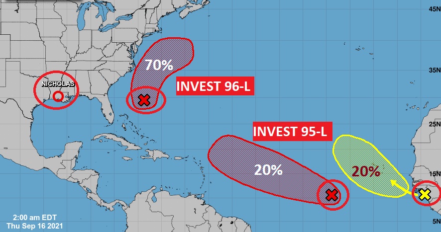
Off the US Coastline, Invest 96-L could become a Depression or Tropical Storm in the next Day or Two.
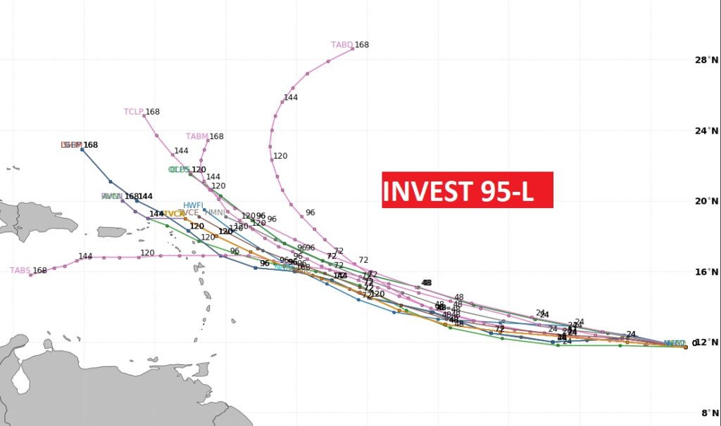
Invest 95-L , way out in the far east Atlantic has a 90% chance of becoming a Depression or named storm in the next day or two.
Big Date in Alabama Hurricane History. Cat 3 Ivan on this day in 2004. Strong Cat 2 Sally on this date in 2020. Both came ashore in Gulf Shores.
