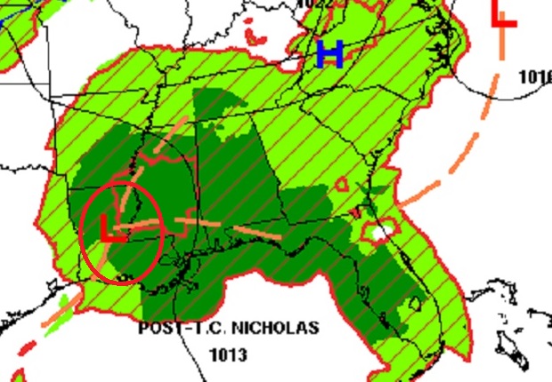
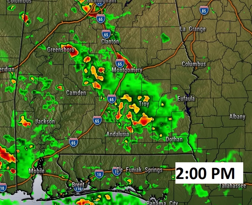
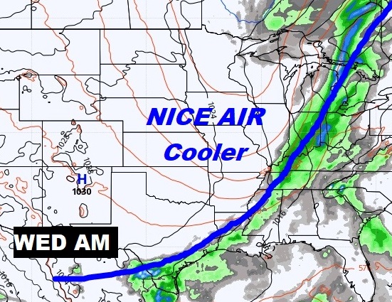
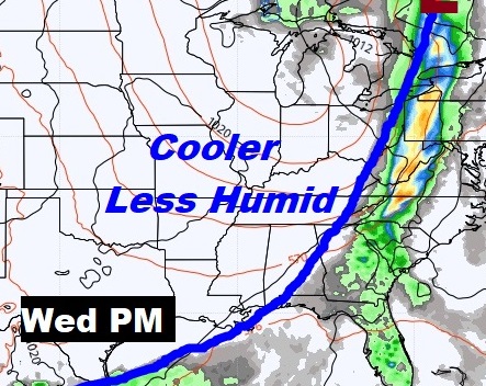
Good morning! Rain, rain and more rain. There’s no end in sight to this wetter than normal pattern through the weekend, and beyond. We’re still on the wet side of the Remnants of Nicholas, and that’s certainly one of the factors effecting our forecast. On this video, I’ll show you how much rain could fall. And, I have about good news about a Cool Front next week, which will finally deliver some very nice air! I have an update on the very active tropics.
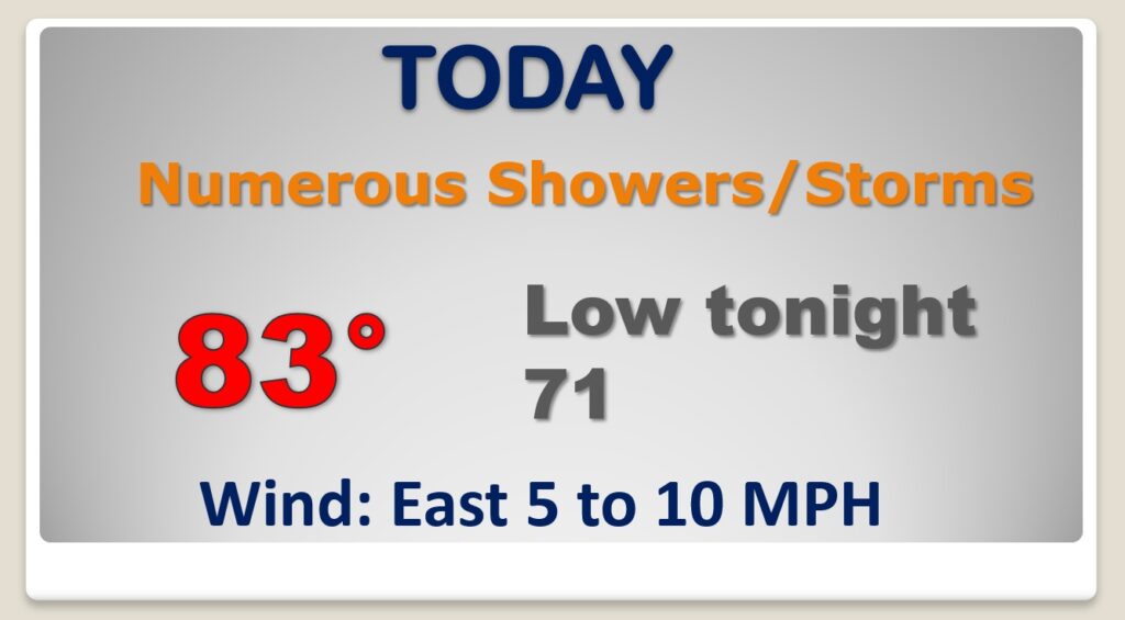
Rinse and repeat. Periods of showers from time to time. Locally heavy downpours in spots. Nicholas is still stuck to the west of us.
The elevated rain chances will continue through early next week, with little day to day change, But, there is better news on the way.
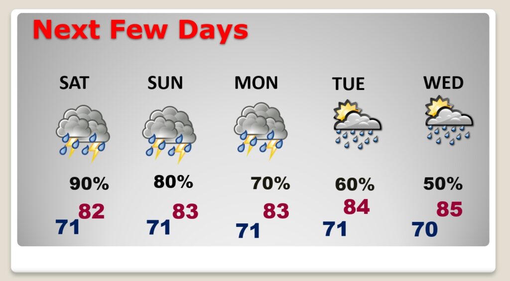
A Cool Front will move into the state Wednesday. That will change everything. Much drier, cooler air and clear blue skies will follow. Late next week, the weather will be very nice.
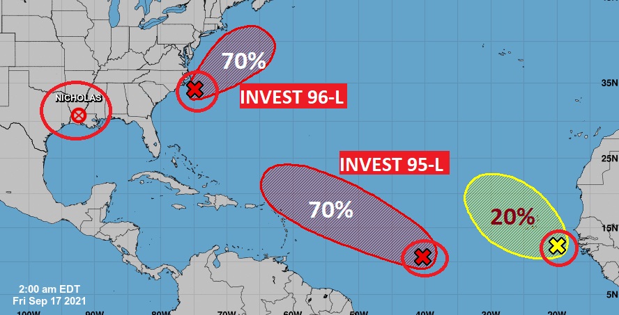
The Tropics are still very active…however Invest 96-L off the US East coast, and Invest 95-L in the tropical Atlantic remain disorganized. Still though, both could easily form into a Depression or tropical storm soon.
