Good morning! We’ve been dry for about a week now, it the dry, storm-free patter is likely to continue for several more days. Meanwhile, it’s getting a little hotter each day. Even the nights are warmer. Humidity levels will begin to rise. It will feel like summer again by late week and this weekend. On this video, we’ll look ahead. I’ll shows when the showers will return, and I’ll bring you up to date on the busy Tropical Atlantic.
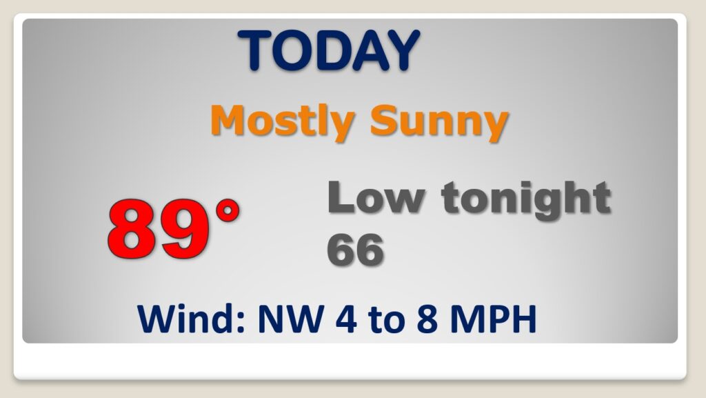
Sunshine will dominate. A little hotter. Light wind. Not as cool tonight.
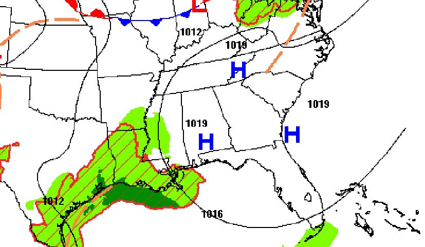
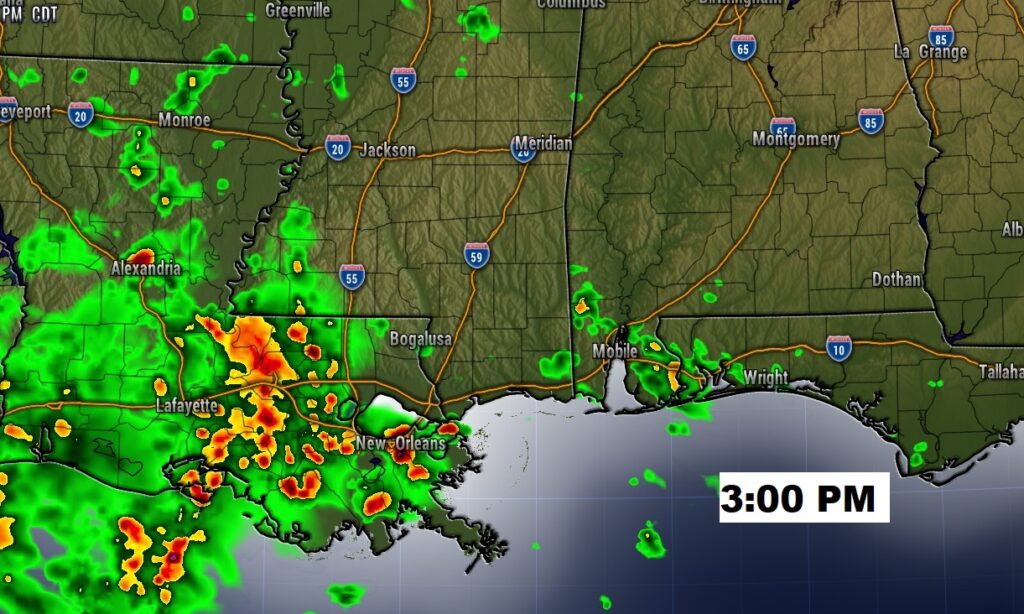
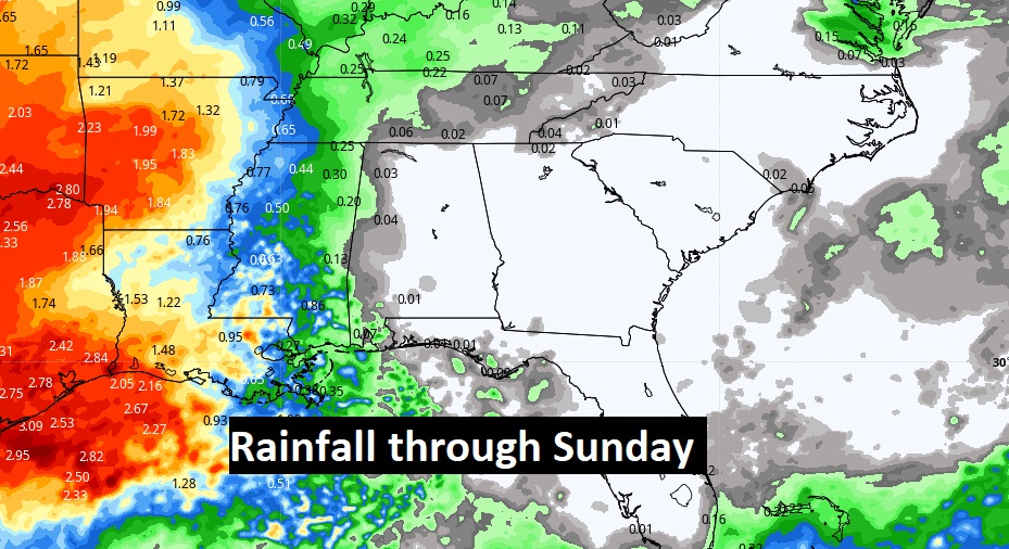
Showers may actually return to the Alabama coast today. The shower threat will be that close.
Several more days of dry weather. Not only are the days getting hotter, but the nights are warmer, too. Plus, humidity is on the rise. It’ll feel more like summer.
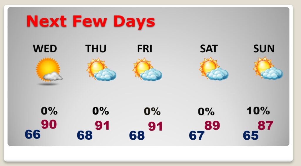
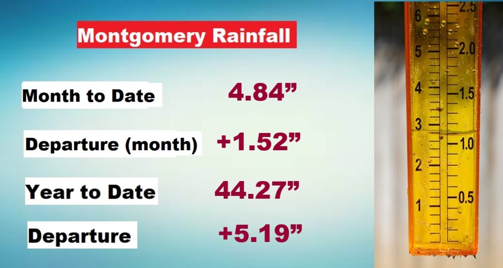
It still looks like we will stay dry through Sunday. That would be Day 12 without rain. But, that’s OK. Its been a wet month of September, and we still have a rainfall surplus for the month and a big surplus for the year.
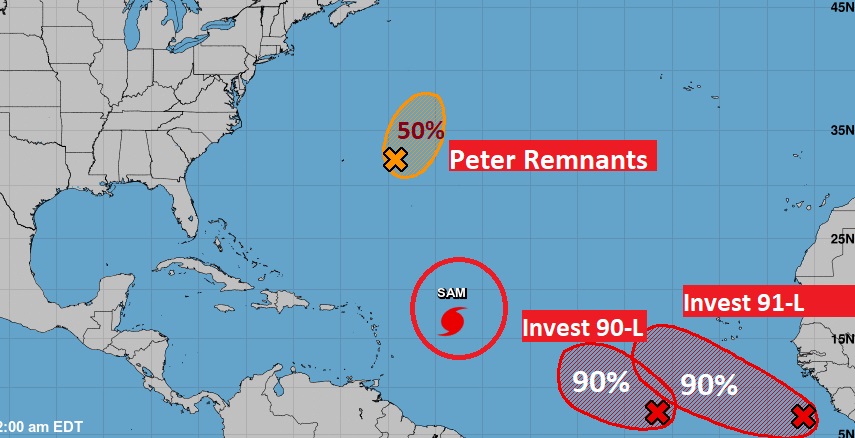
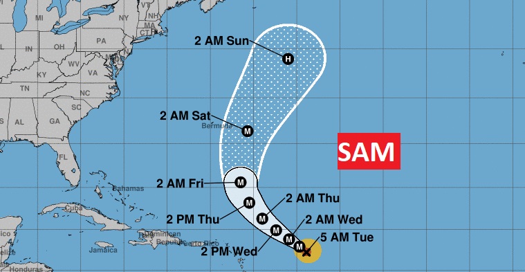
SAM is still a major hurricane in the central Atlantic. It looks like it will bypass Bermuda to the east, but it could be a big problem for the Canadian Maritime provinces by the weekend.
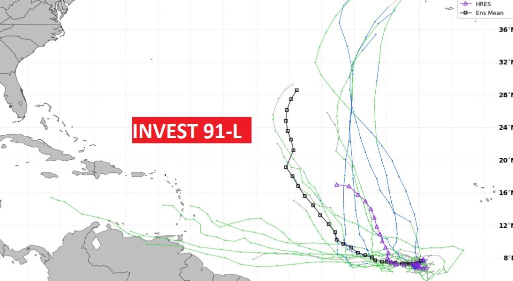
There are several features in the Atlantic, including Invest 90-L and 91-L. Both are likely to become a Depression an then tropical storm. The last two names on the primary list of names is Victor and Wanda. It is the lead system, 91-L which COULD move west, instead of making the Atlantic curve. Stay tuned.