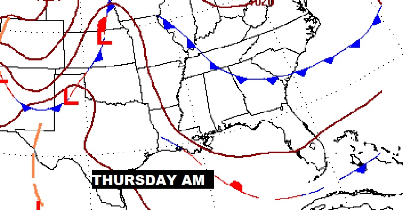
Good morning! The calendar says it’s the end of September. But today, you’ll swear, it’s just a regular summer day. Hot & humid. There could be a few “blips” on the radar, but rain chances are remote. Not much day-to-day change is expected through the weekend. Rain chances are rather small through Sunday. A frontal system could help us in a few days. How long will this period of Extended Summer last? On this video we’ll look ahead to the return of showers. Plus, I have an update on the tropics.
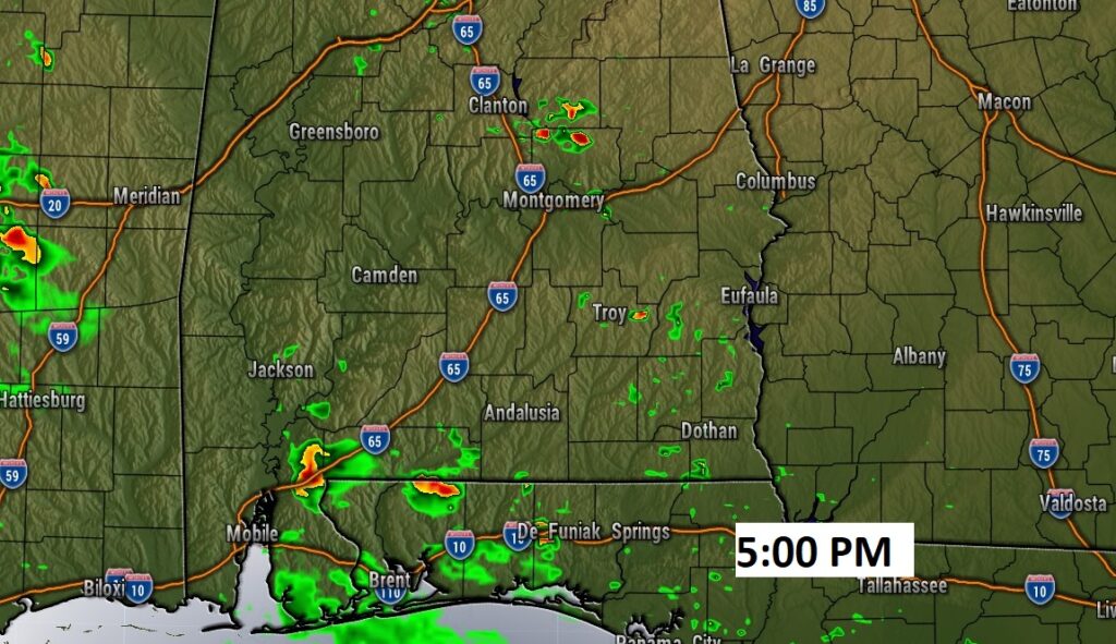
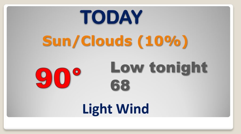
There WILL be showers on the radar today. But, your chances of seeing one are under 20%. It will feel like a typical summer day. Hot & Humid.
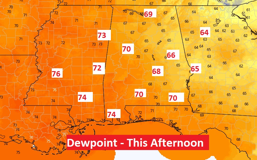
Not only will it be HOT today, you’ll feel more humidity. Look at the Dewpoint this afternoon. This don’t look like Fall.
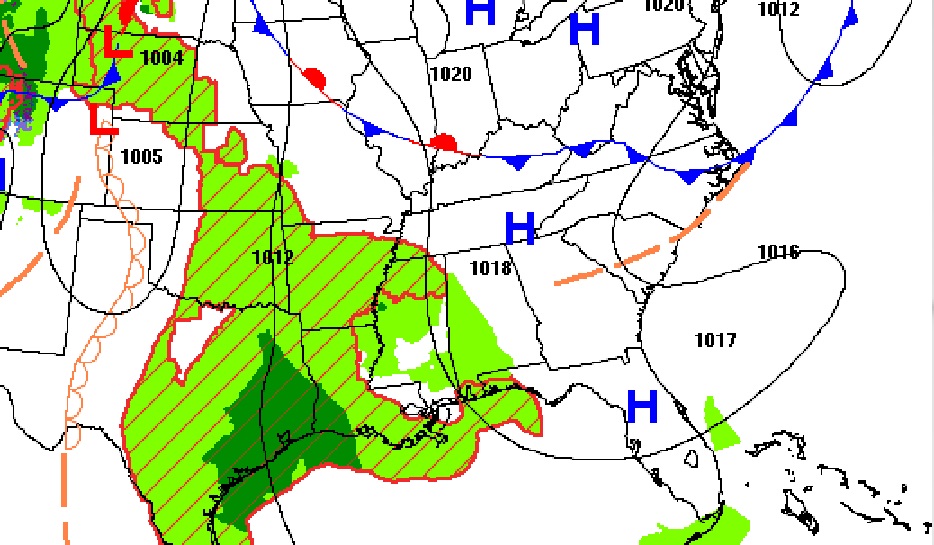
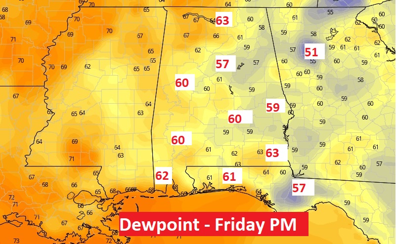
A Little “backdoor front” will lower the Dewpoint a notch or to by Friday and Saturday. It will still be HOT, but it will feel better.
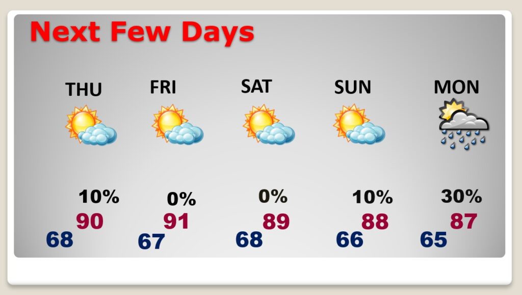
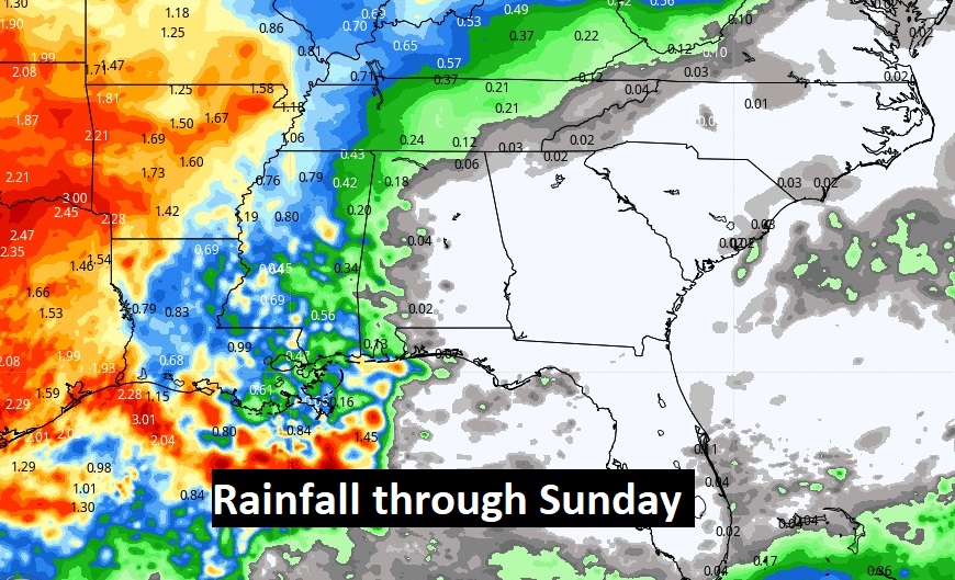
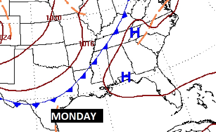
Mainly hot & Dry through Sunday. Scattered showers return Monday.
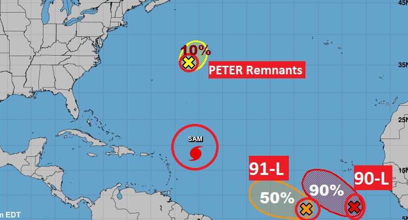
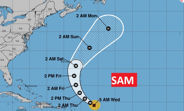
Sam is still a major hurricane. But, it missed the Islands, it will miss Bermuda and now it looks like it will miss Canada. A fish hurricane.
Elsewhere, in the far eastern Atlantic, there’s Invests 90-L and 91-L. It now looks like they will both make a right turn and curve through the eastern Atlantic. Last two names on the list are Victor and Wanda.
