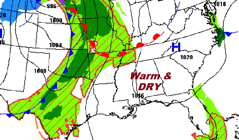
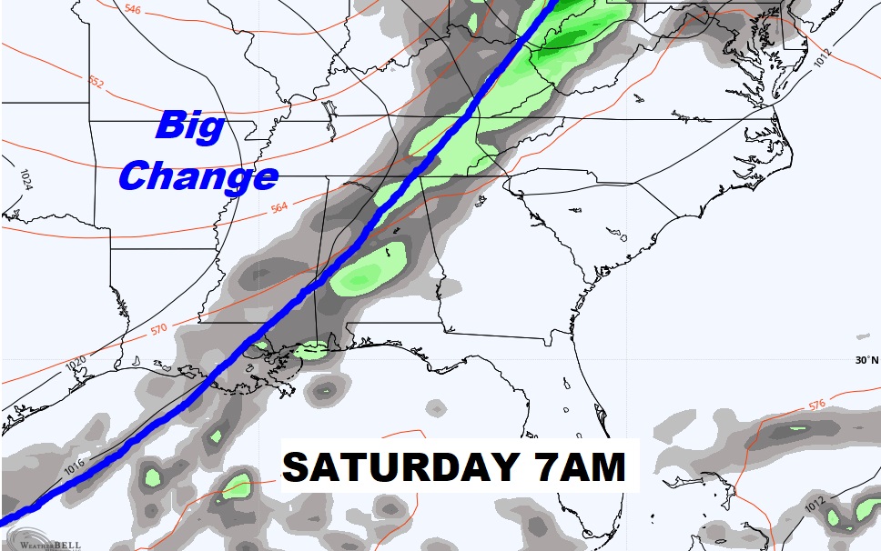
Good morning! Our extended string of Storm-free, Warm, Dry days continues today. This almost summer-like pattern will roll on through Friday. But, as we have been telling you for a long time, Big Changes are now right around the corner. A significant cool front sweeps through our state early in the day Saturday. Much cooler air will funnel in, on gusty north and northwest winds. It will be a change of wardrobe, with Jacket Weather Nights, and sunny, much cooler days. We’ll look ahead. Will a Gulf storm system drench the state sometime next week?
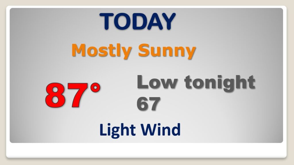
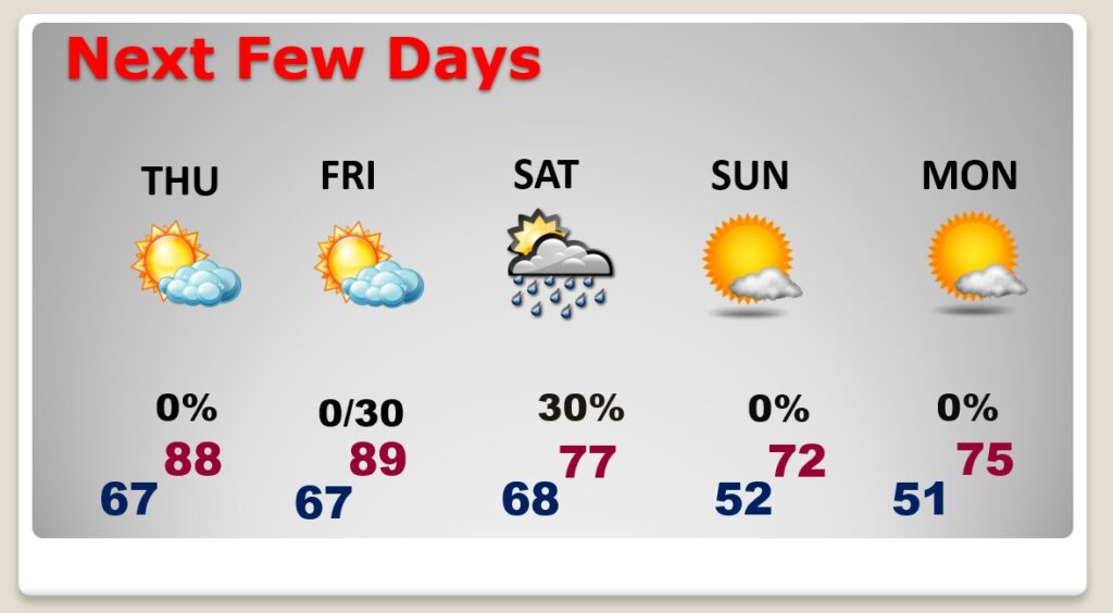
Extended summertime continues. Another day of abundant sunshine. TOO warm for October. Get the sunscreen ready.
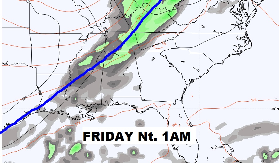
Get ready for the BIG Change we’ve been telling you about for so long. Scattered showers, maybe a couple thunderstorms will enter the state late Friday night. Risk of showers through Saturday morning ahead of the front. \
Saturday and Saturday night will be dramatically different. Windy, cooler. (wind gusts 25-30 mph behind the front) Jackets needed by Saturday evening. CHILLY Sunday morning.
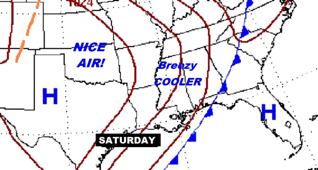
TOO WARM for October through Friday. Get ready for the “Real-Deal” Fall Air this weekend. Jacket weather nights. Beautiful days in the 70’s
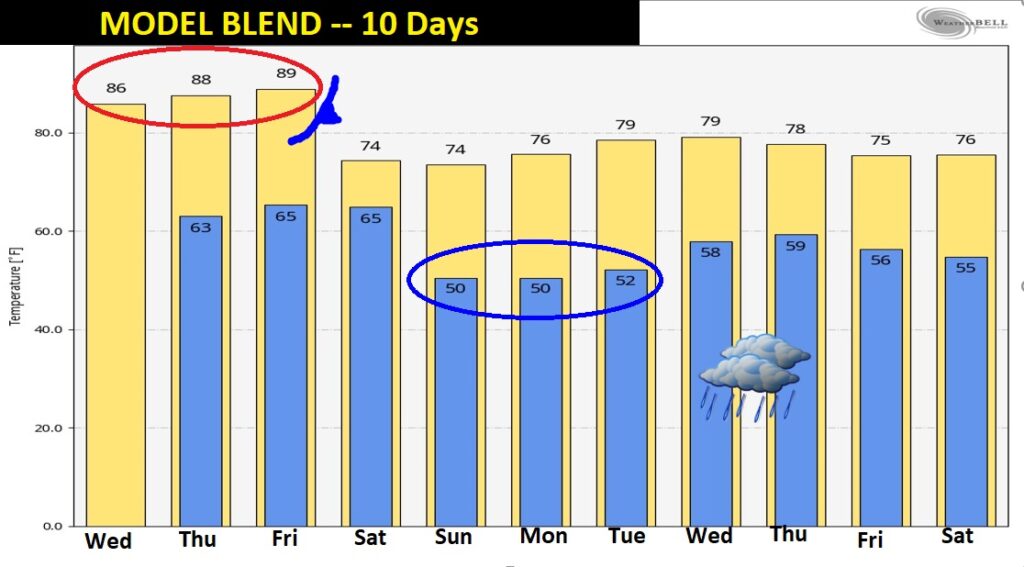
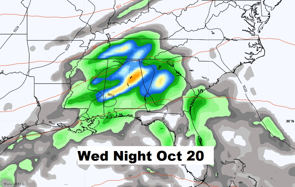
Looking WAY out there, there could be some wet weather, about a week away…NEXT Wednesday night.
