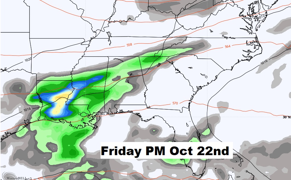
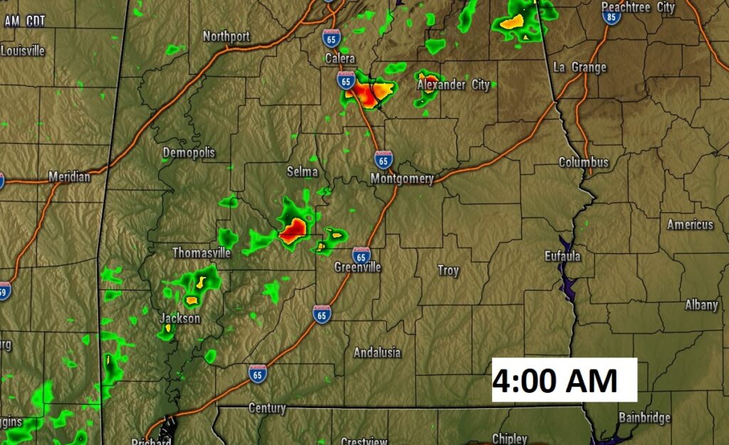
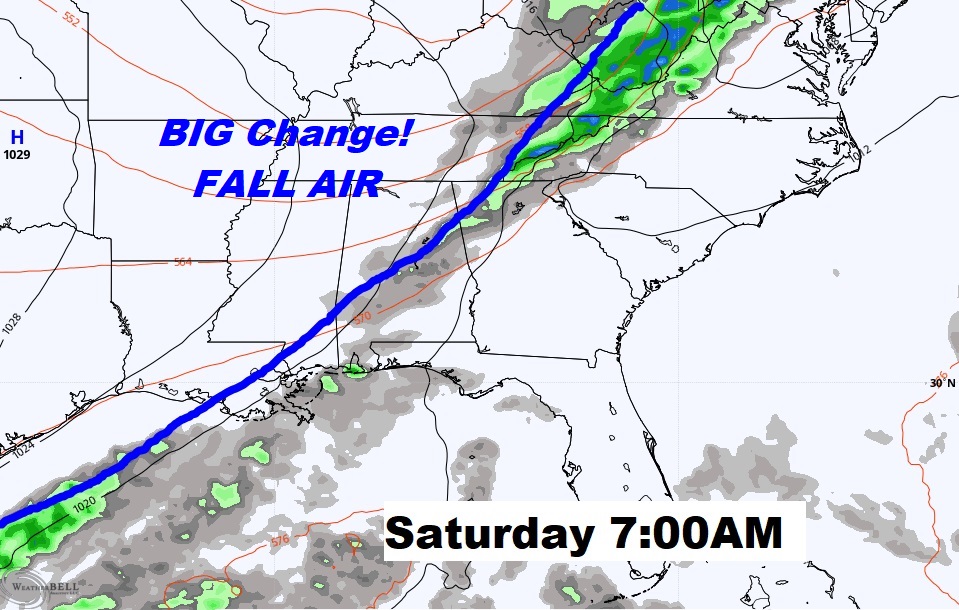
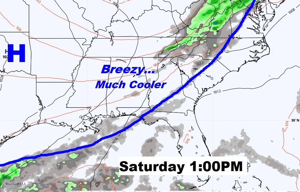
Happy Friday! Today is the final unusually warm October day. Get ready for a dramatic change of reality. Some “Real-Deal” Fall Air will sweep into the area behind a strong Cool Front early Saturday. Scattered showers are possible ahead of the front late tonight and Saturday morning, early. Gusty north and northwest winds will follow. Jacket Weather returns Saturday night. Keep the Jackets handy. You’ll need them for a series of nights. It’s the Coolest Air of the Season so far. We’ll look ahead. How long will it last? When is the next storm system?
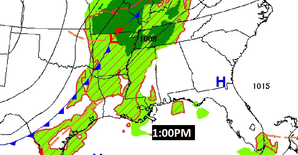
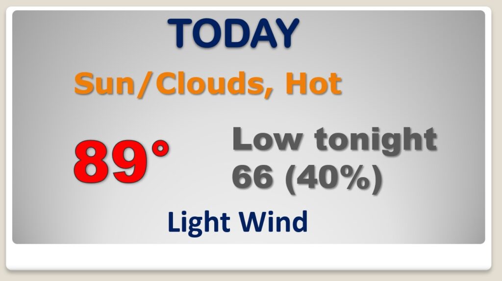
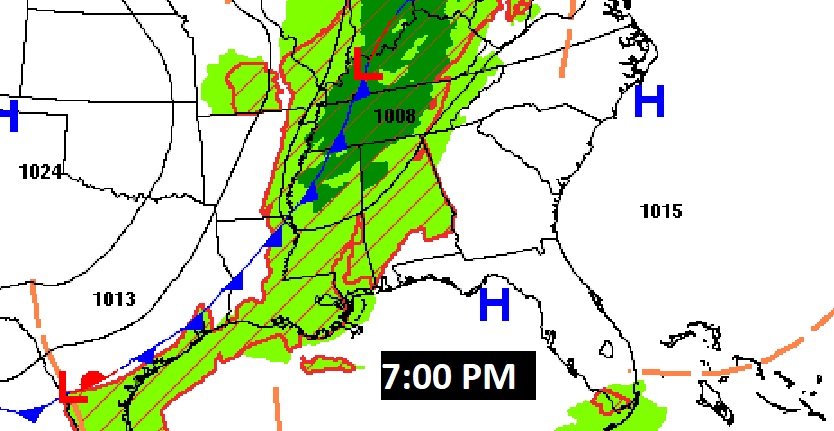
Today is the last Unusually Warm October day in this series. Dry today. Risk of showers overnight tonight as the front approaches.
The front will be close to northwest Alabama tonight. A weakening line of showers could reach central Alabama in the wee hours of Saturday morning.
Breezy and much cooler behind the front Saurday.
Morning lows in the 40’s Sunday and Monday morning. Coldest of the season so far. Jackets ready?
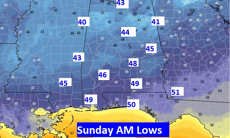
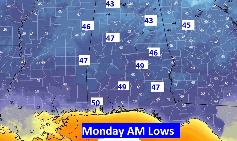
Get ready for some “Real Deal” Fall Air Saturday through Monday night. Warmer mid week.
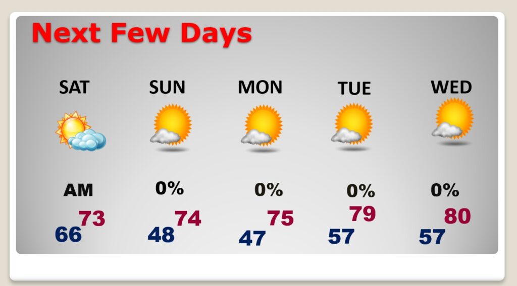
Next storm system brings in rain late next week.
