Good Morning! Our weather is evolving. Days are warmer. Nights are not as cool. That trend continues today. We’ll be near or above 80 for the next several days, with milder nights. Showers, and perhaps some thunderstorms, are returning to the forecast, perhaps as early as late tonight & Thursday, as a front approaches. But, this front is not like last week. The air behind it doesn’t change our temperatures much. On this video, I’ll update you on a very promising weekend forecast. And, we’ll look ahead to the next “Big Deal” frontal system next week. What can we expect before and after that front?
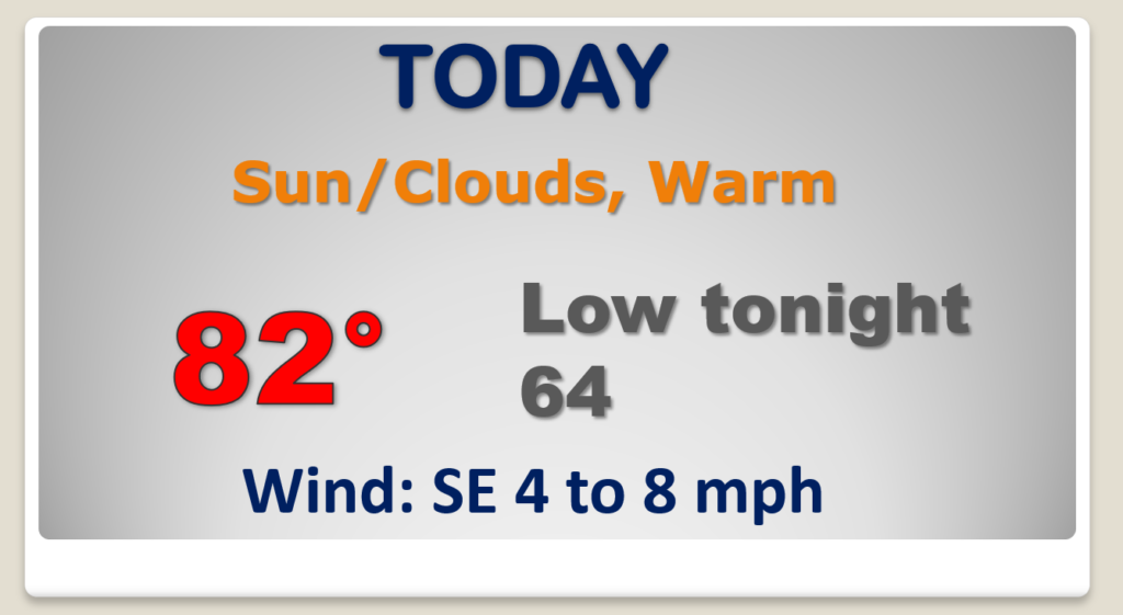
A very warm October day today. Lower 80’s Dry during the day. Scattered showers & storms possible in the overnight hours tonight.

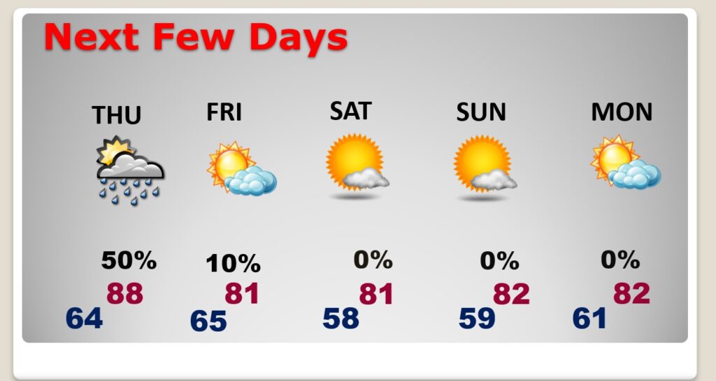
An approaching front will bring the risk of showers & storms into the state beginning late tonight and through Thursday. Drier air Friday.
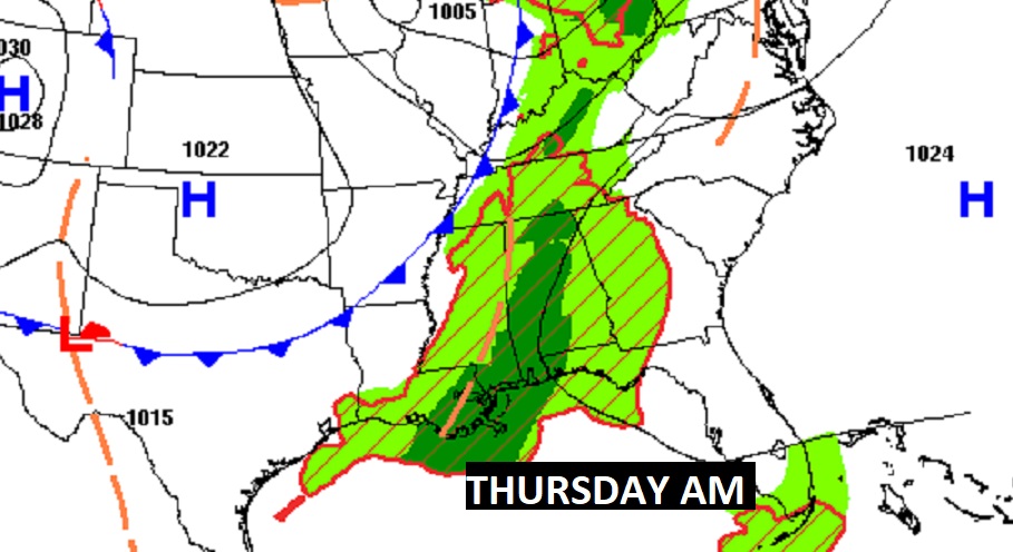

Showers & storms Thursday. Drier air behind the front Friday through the weekend. Warm days, comfortable nights, but not the “coolness” of the last front.
Maybe some “big ticket” weather around the middle of next week? I have my eyes on an important frontal system and it’s associated low pressure system. Could this bring a round of strong storms into the state? Too early to say. Stay tuned.

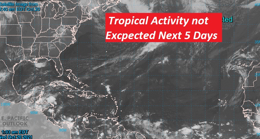
The Tropical are quiet for now.