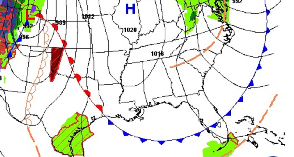
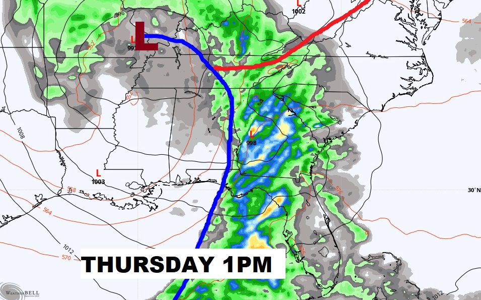
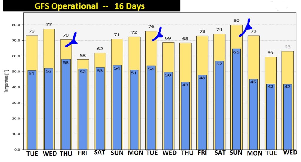
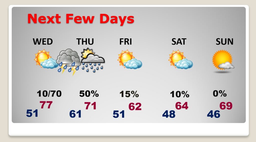
Good Morning! Today will be a nearly perfect Fall Day. Cool, comfortable, sunshine. But, get ready for some significant weather changes. That big storm that assaulted the Western US is approaching. Showers and storms will be numerous Wednesday night and into early Thursday. Some storms could be strong. Behind the storm, sharply cooler air will funnel into Alabama. Friday will be brisk. The Halloween weekend will be quite cool. Have the jackets ready. On this video, I’ll fill in the details, and update the timeline…and we’ll look farther down the road to see what’s next.
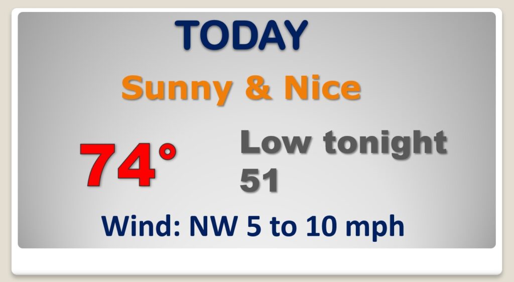
Today will be tranquil and nice. Great fall day. Cool sunshine.
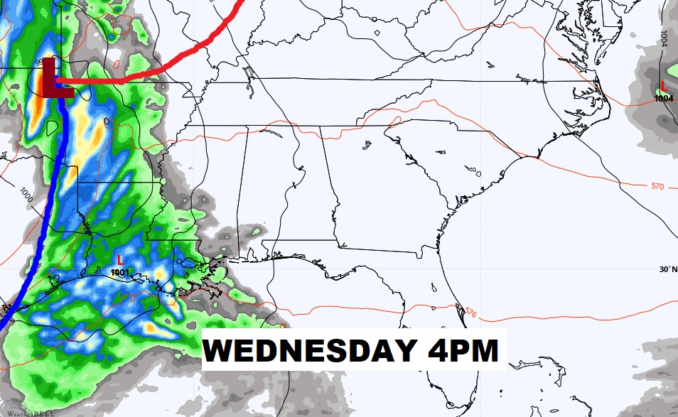
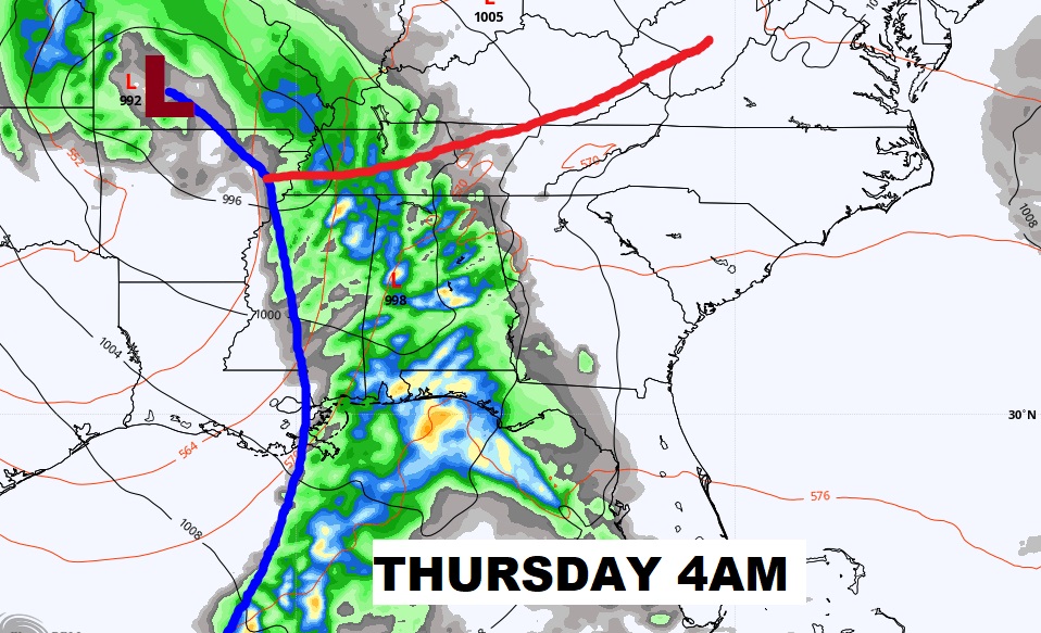
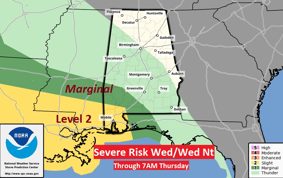
Formidable storm system will affect the state in the overnight hours Wednesday night and early Thursday. Potential for strong/severe storms.
I think this map from SPC is, perhaps, a little underdone on the severe weather risk area. I think all of us, especially from the US 80/I-85 corridor southward need to be ready for strong to severe storms in the overnight hours Wednesday night through Thursday morning. A tornado or two can’t be rued out.
After the storm, sharply cooler “Real-Deal” Fall air will flood in. Friday will be brisk. The Halloween weekend will be cool.
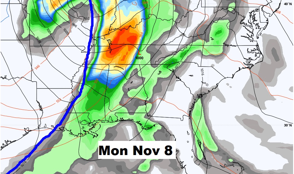
The long range GFS model suggests we’re getting into a more active pattern. Another front next week. Another front the week after. ‘Tis the season…

