
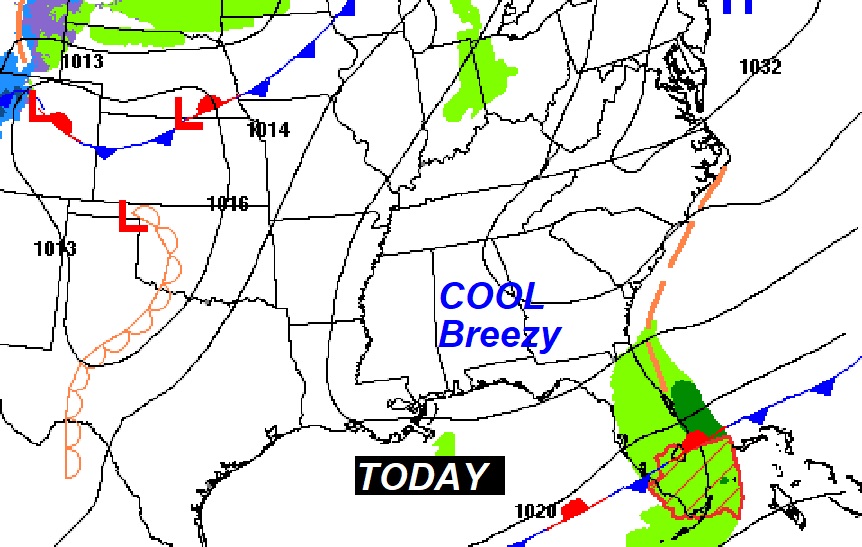
Good Morning! It’s a very chilly Saturday morning. Much of the northern 2/3 of the state will see a frost or freeze by dawn. Saturday will be cool day compared to normal. Sunday will be warmer.
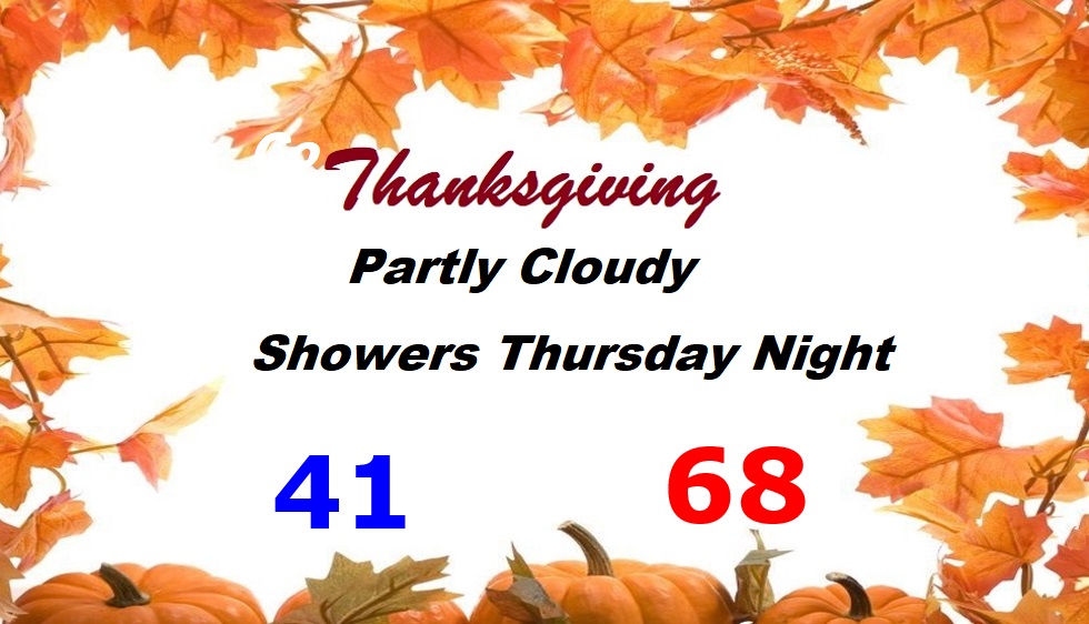
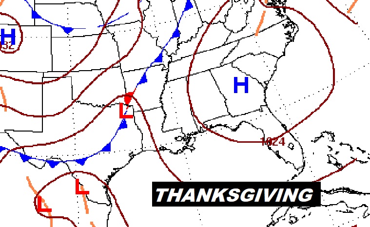
Yet another front will bring showers to the state by late Sunday night. Much cooler air will follow. The early part of Thanksgiving will be quite chilly. Temperatures will moderate by Thanksgiving Thursday. More showers and storms will arrive by Thursday night. The news about the Black Friday storm system is less concerning now. The models have changed At this point, any severe weather potential has vanished.
TODAY: Cold start. Frost is a good bet for many towns. Sunshine today. A cool day. (Normal high/low 69/42) High today 66. East breeze at 6 to 16. Tonight will be partly cloudy and chilly. Low 45.
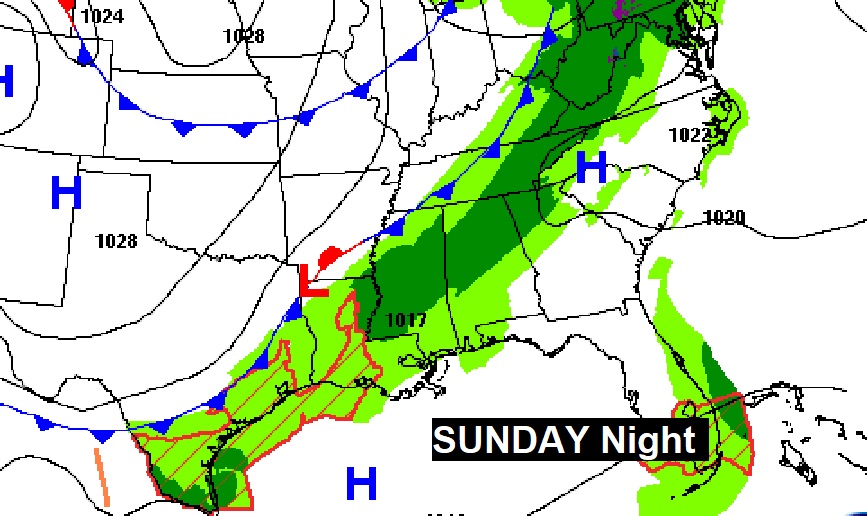
SUNDAY: Dry daytime. Sun/cloud mix. Clouds will increase in the afternoon. A little warmer. High in the low 70’s. Scattered showers arrive late Sunday night ahead of the next cold front. Most of the showers should exit by Monday morning.
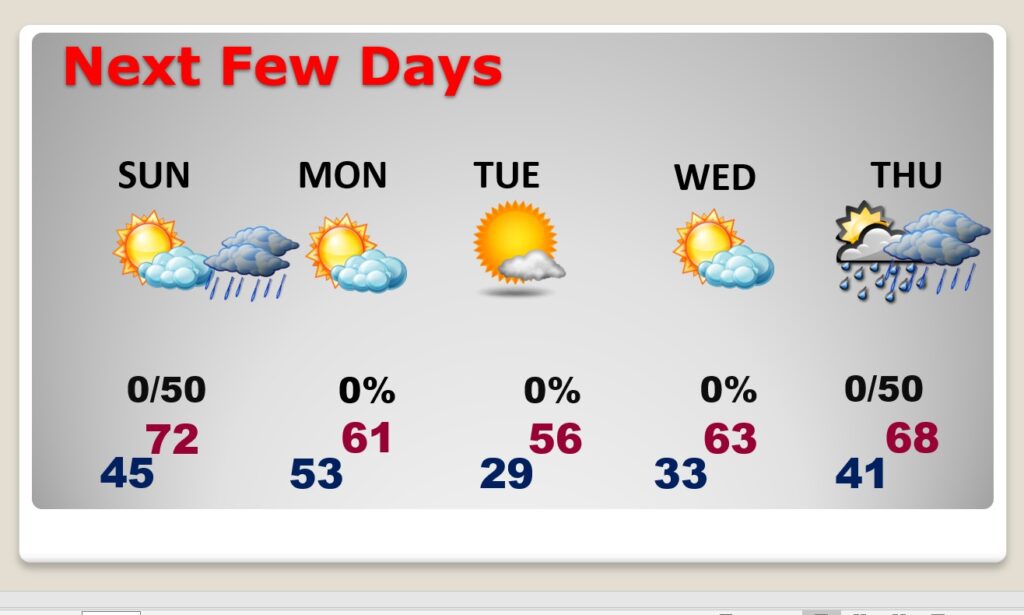
NEXT FEW DAYS: Dry Sunday. Warmer. High in the lower 70’s. Scattered showers arrive late Sunday night ahead of the next cold front. Most of the showers should exit by Monday morning. Breezy & colder Monday. Tuesday will be perhaps the coldest day of the season so far. Morning low. High in the mid 50’s. A cool but storm-free Wednesday. Thanksgiving should be fairly comfortable. High in the upper 60’s. Dry during the day. Scattered showers arrive Thursday night and into Black Friday. Right now, Iron Bowl Saturday looks dry and much cooler.
THANKSGIVING: Looks like a pretty routine forecast right now. Partly cloudy & dry. Chilly morning. Comfortable afternoon. Increasing clouds. Risk of showers Thursday night.
.
I’ll have another Blog update tomorrow morning. Have a great SATURDAY.
–Rich