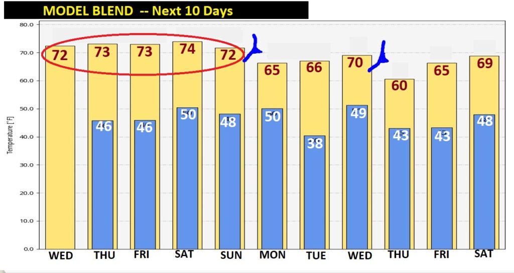
Welcome to December! Yesterday’s high was 69°. Today, and for at least the first four days of December we’ll be 70+. And, still we are storm-free for several more days. We obviously need some rain, but the chances of seeing any raindrops, at all are unlikely until perhaps late in the weekend. We’re not alone. Much of our nation is much warmer than normal as December begins. Record highs are anticipated in 12 states. How long will the arctic floodgates stay closed? On this video, we’ll look ahead.
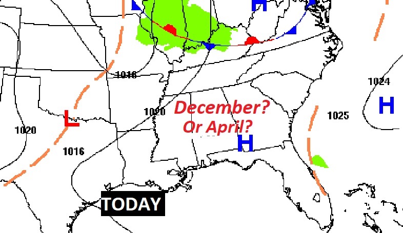
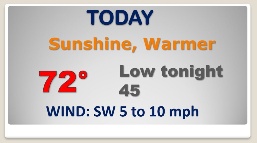
The first day of December will feel more like the first day of April. Nice and warm this afternoon. Enjoy. Not as chilly tonight. (Normal High/Low 66/40)
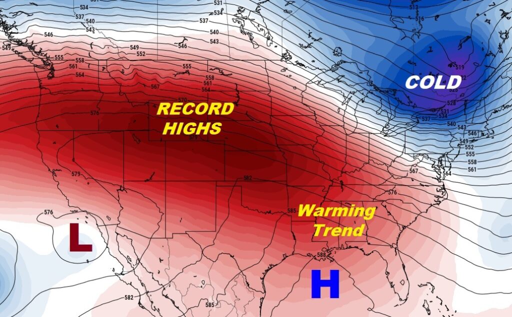
Much of the nation is warmer than normal. There will be 60’s as far north as the Canadian border. Record highs are expected today in at least a dozen states.
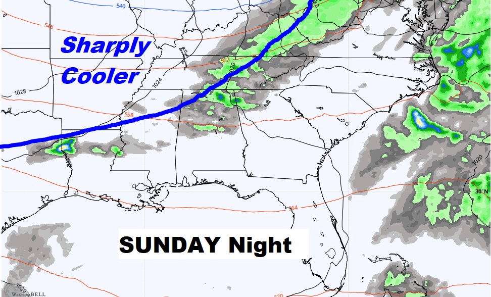
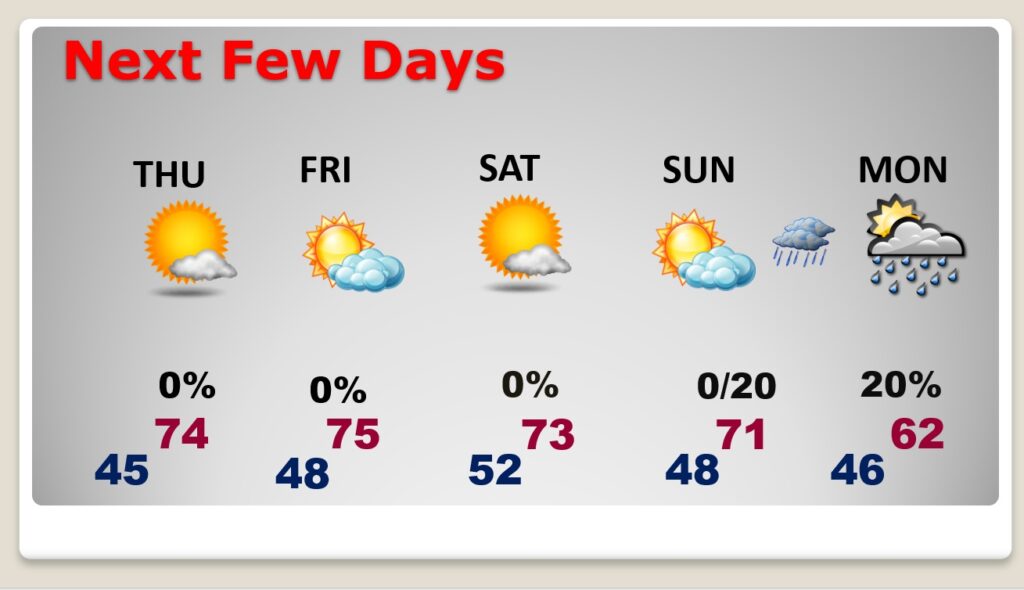
The amazing string of warm days will be around through Sunday. Chance of a few showers Sunday night/Monday with the next cool front. Small chance
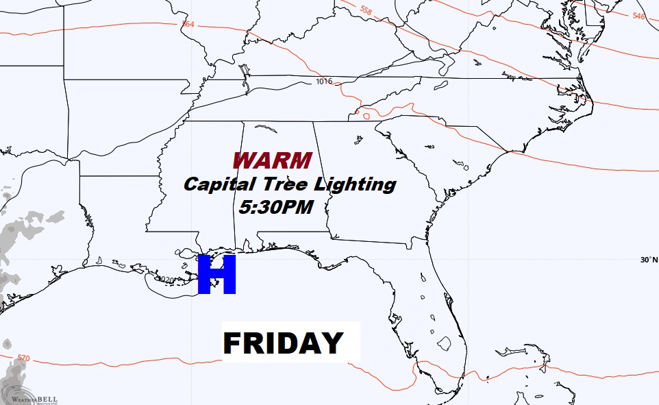
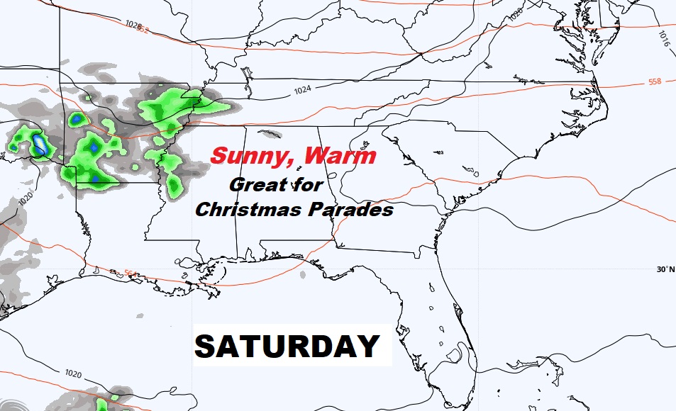
Lots of Christmas activities Friday night and Saturday, including parades and tree lightings.
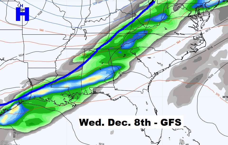
Spotty showers with the next cold front by Sunday night into Monday. The next Big Deal front is about a week away.
Amazing string of warm early December Days. I do not see any arctic blasts over the next 10 days.
