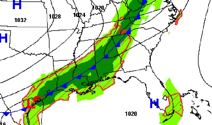
Good Morning! Get ready for a big change, as our dry, tranquil string of days comes to an end. A Cold Front will sweep through the state today. Showers and storms will precede the front. Expect some much cooler air behind the front Tonight and Tuesday. The front will stall near the coast, as waves of low pressure move along the front. The risk of showers will remain in the forecast every day this week. Some days will be wetter than others. On this video, I’ve adjusted the daily rain chances through Saturday. I’ll show the updated rainfall projections, and the temperature ups and downs for the next 10 days.
As the cold front Weeps through the state today, showers and storms will precede the front. Much cooler air follows tonight.
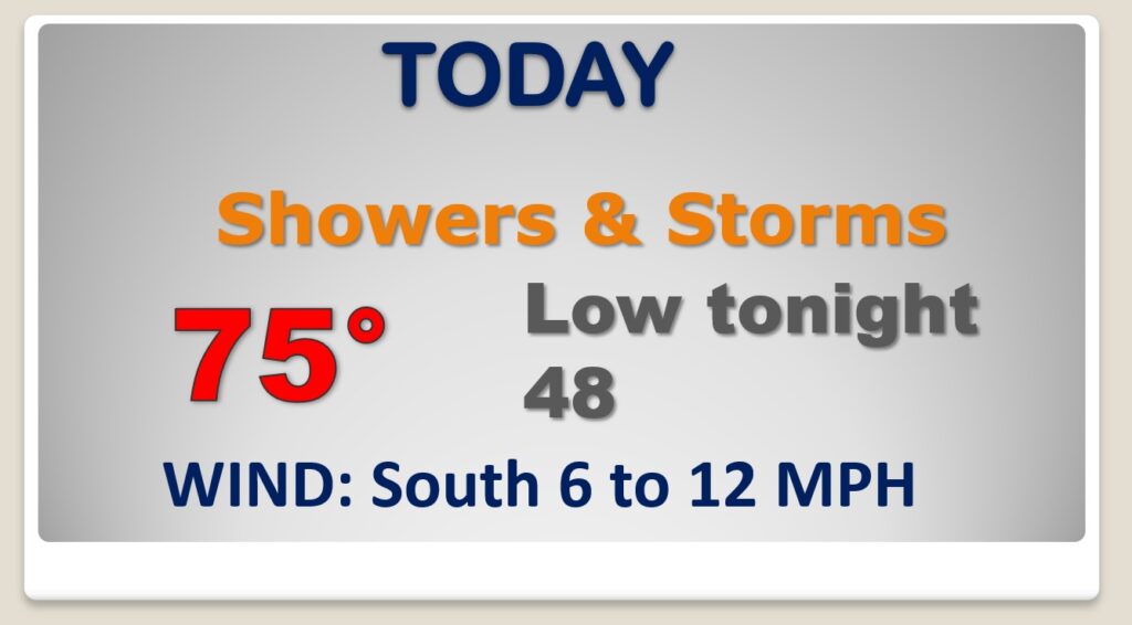
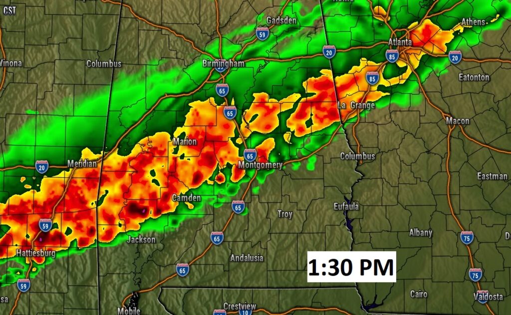
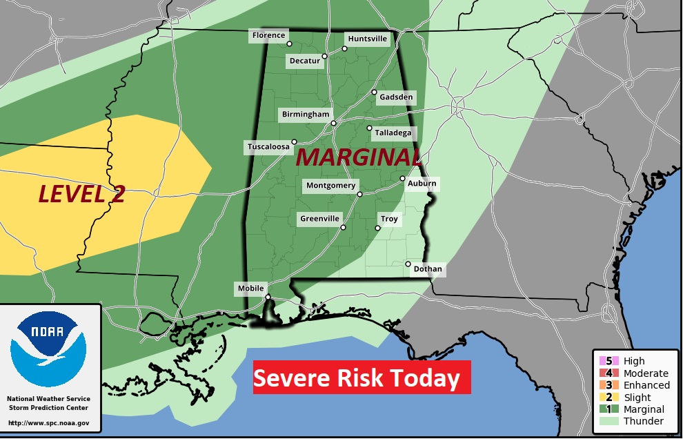
A line of showers and storms will reach the River Region after lunchtime. The Storm Prediction Center says some of the storms could reach Severe Limits. Marginal Risk. Damaging wind gusts would be the main threat.
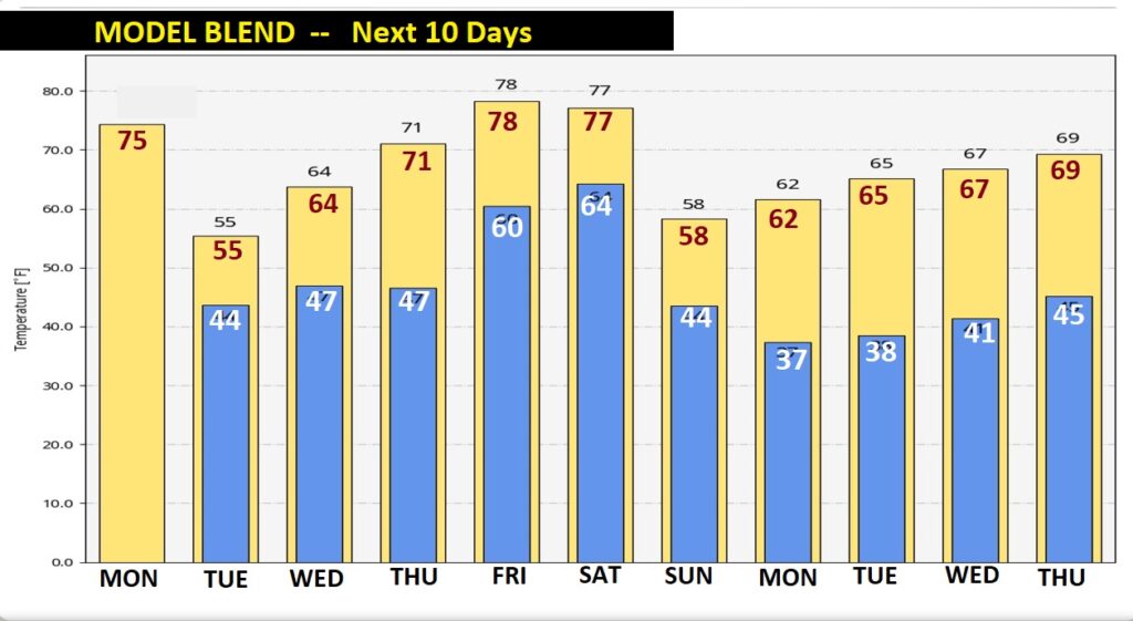
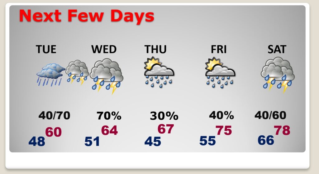
MUCH Cooler Tuesday. We may not reach 60 degrees. Risk of showers each day this week. The rain chances vary each day, as the front stalls near the coast.
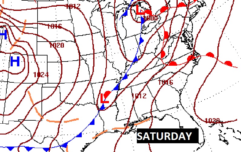
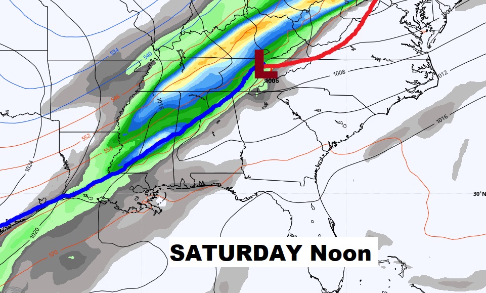
Could we see some strong, possibly severe storms with a strong cold front Saturday. It’s too early to say.
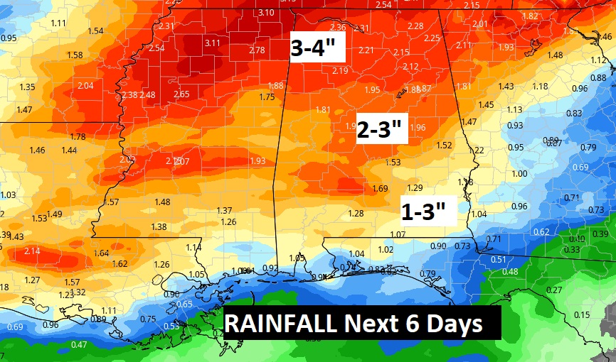
Looks like we are going to see some decent rainfall this week. We need the rain.
Lots of temperatures ups and downs in the week ahead.