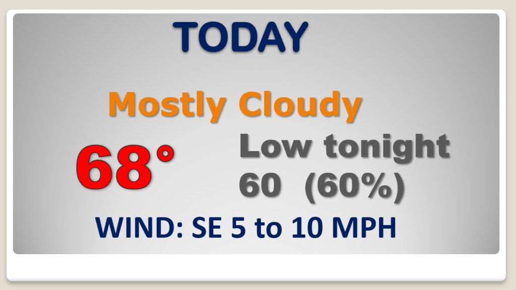
Good Morning! Looks for some more weather changes over the next 4 days. Most of today will be dry. Showers and thunderstorms overspread the area tonight, ahead of northward moving warm front. Friday will be unusually warm, with scattered thunderstorms. But, the main event will be Saturday. A strong cold front will sweep across the state. A band of rain and maybe some strong thunderstorms will preceded the front. Like last Monday, we are in a Marginal Severe Risk, Saturday. The main threat will be damaging wind gusts. A spin up tornado or two can’t be ruled out. Starting Sunday, we’ll start and extended string of nice days. On this video, I’ll bring you up to date on the timeline and the details.
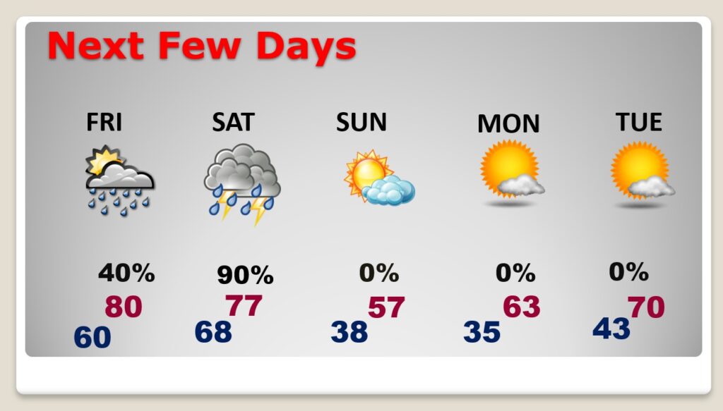
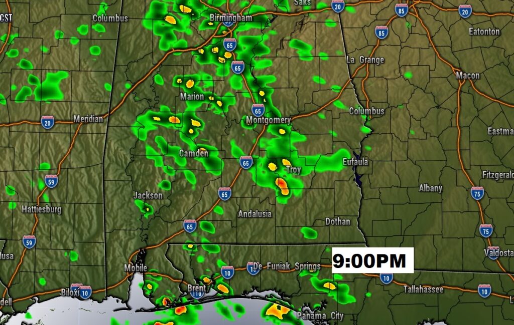
Much of this day will be dry and fairly comfortable for December. Showers and thunderstorms roll in tonight ahead of a northward moving warm front.
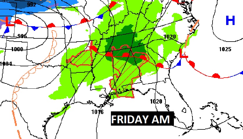
Scattered showers and thunderstorms overnight. And spotty thunderstorms Friday. Friday will be a very warm day, behind the warm front. We’ll tease 80 degrees.
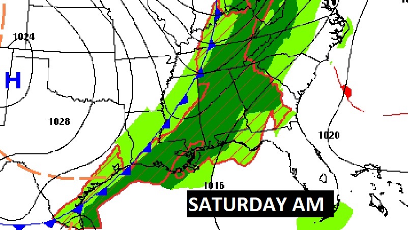
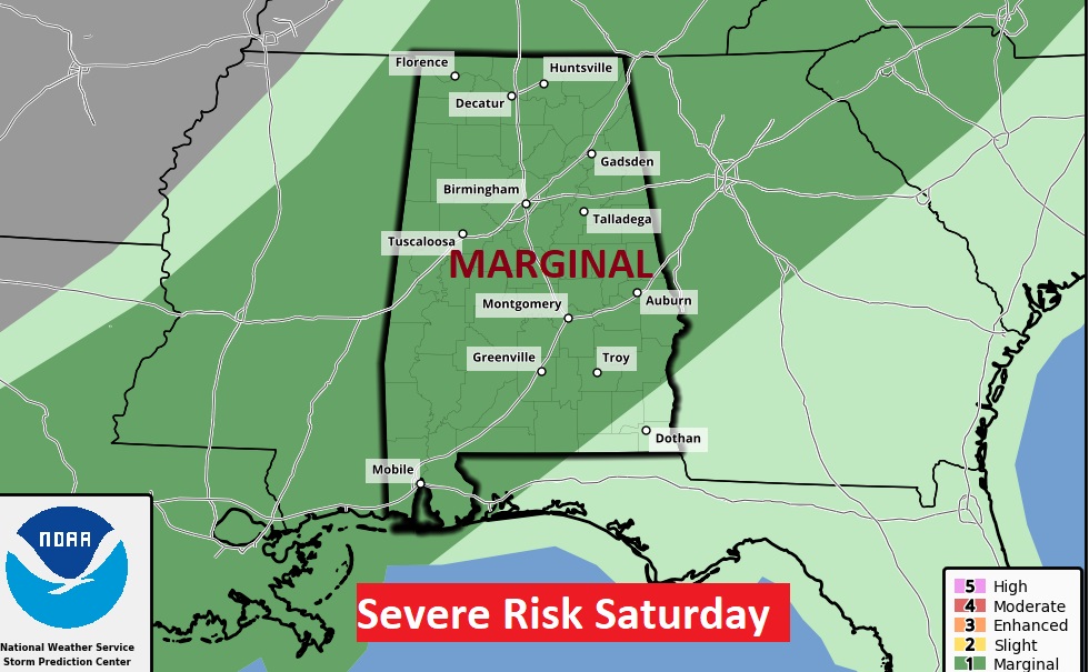
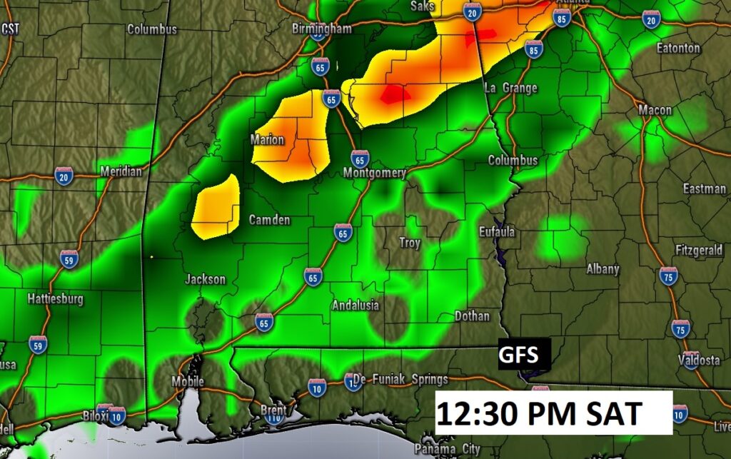
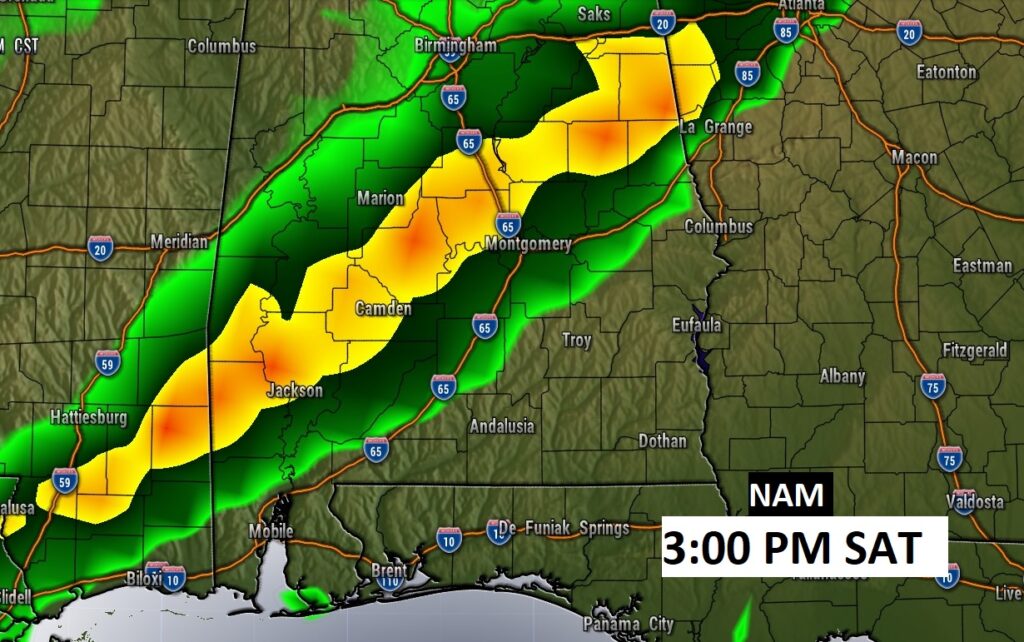
The main event is Saturday. Strong cold front sweeps across the state. Like last Monday, we are in a Marginal Severe Risk, Saturday. The main threat will be damaging wind gusts. A spin up tornado or two can’t be ruled out.
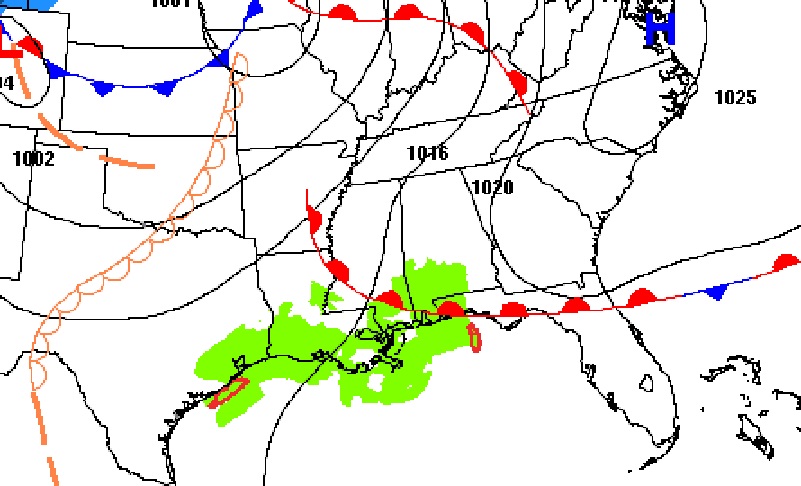
When does the main line of storms move through Saturday. The GFS is fastest. The NAM model is slower. Some models are even slower than the NAM. I like the faster GFS.
Warm Friday And Saturday. Rain and thunderstorms with the front Saturday, ending Saturday night. Much cooler Sunday. But, Sunday begins and extended stretch of very nice days. Storm-free…way to be!