Good Morning! We have a very Spring-like forecast. We may tease a record high today. It will be unusually warm for the rest of 2021. But, get ready. Showers and thunderstorms are returning to the forecast. In fact, Alabama may have to deal with a Severe Weather threat starting late Wednesday, and again on New Year’s Weekend. On this video, we’ll look ahead. Some much colder air will arrive after the New Year begins.
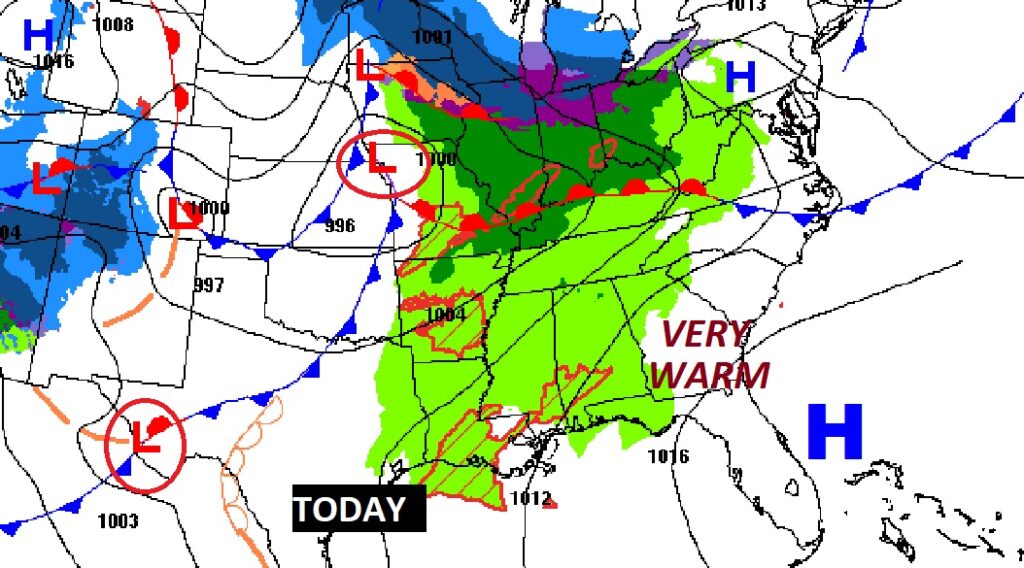
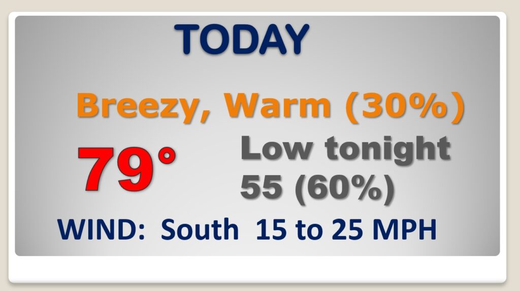
December or April? Today will be warm & breezy again. We could possibly tease the record high of 80. Scattered showers return. Showers and storms become likely Tonight.
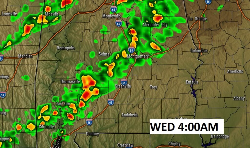
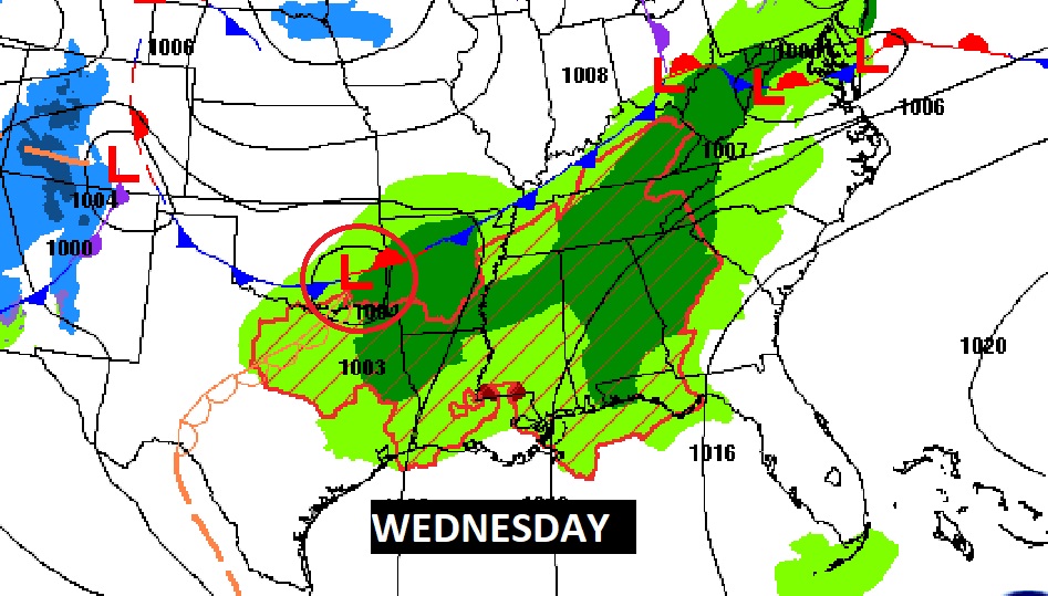
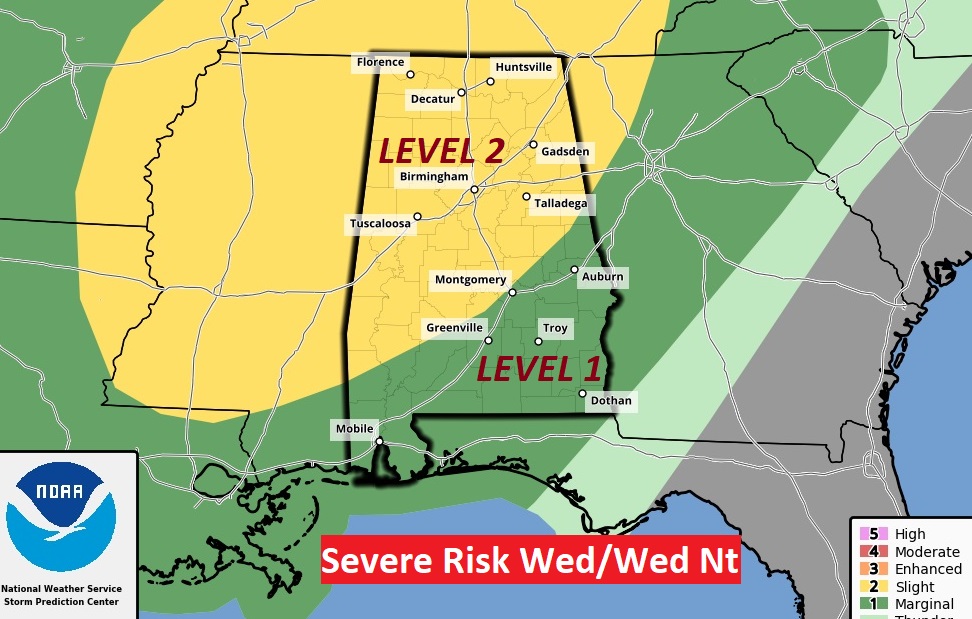
Severe Weather Threat for much of Alabama Wednesday afternoon & Wednesday night.
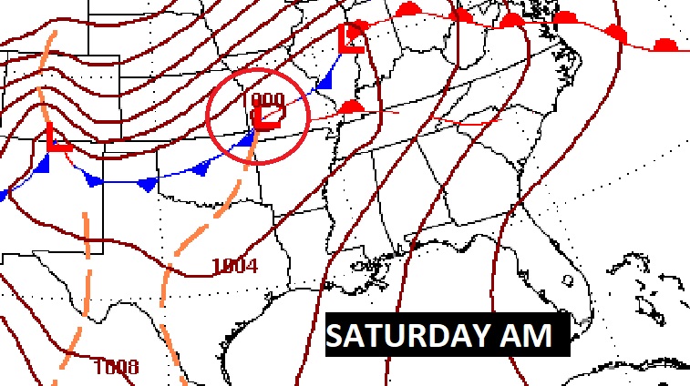
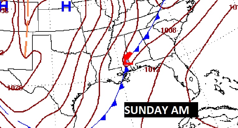
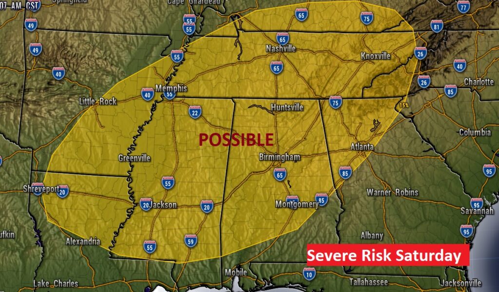
Significant New Years Weekend storm system will bring another Severe Threat. Perhaps Saturday night or Sunday…then sharply colder.
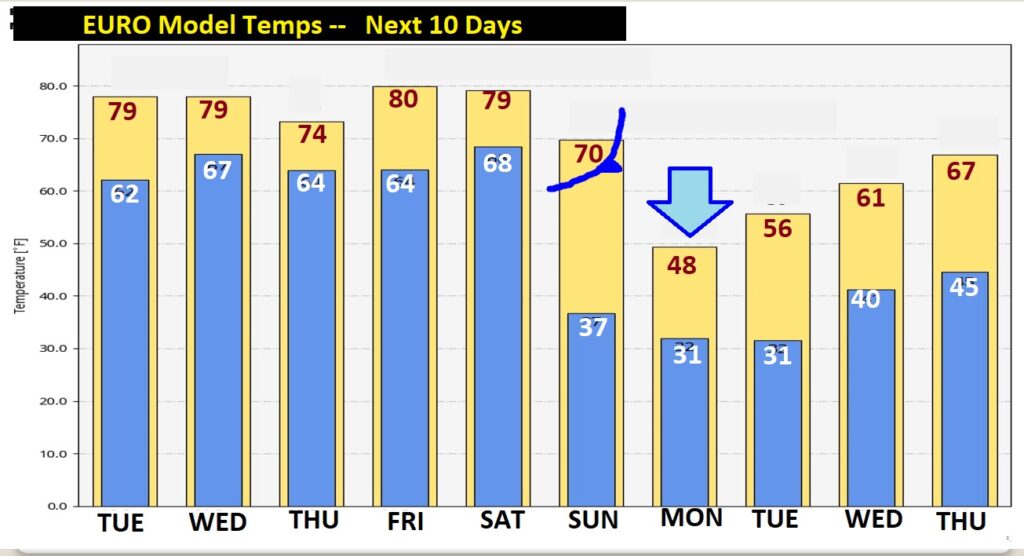
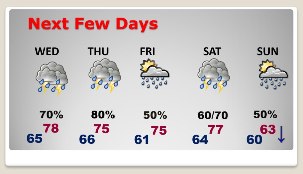
Active week ahead… Very warm through Saturday. Stormy at times. Falling temperatures Sunday.
Severe weather outlook from SPC for Saturday. All modes of severe weather are possible.
Falling temperatures Sunday. Big temperature crash Sunday night/Monday. Here’s the EURO model.
