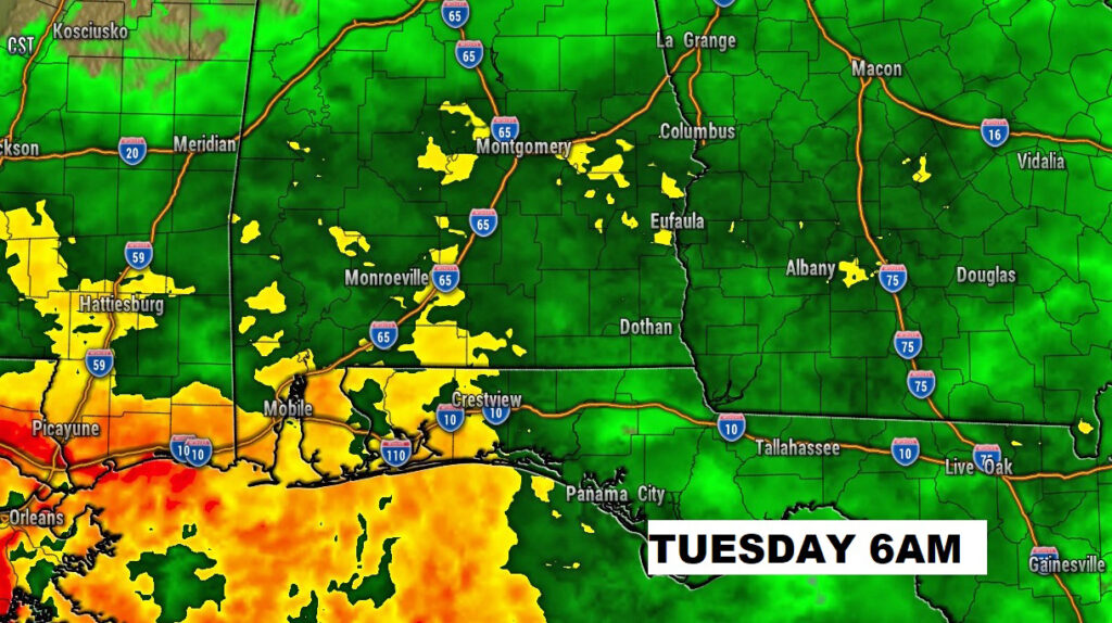
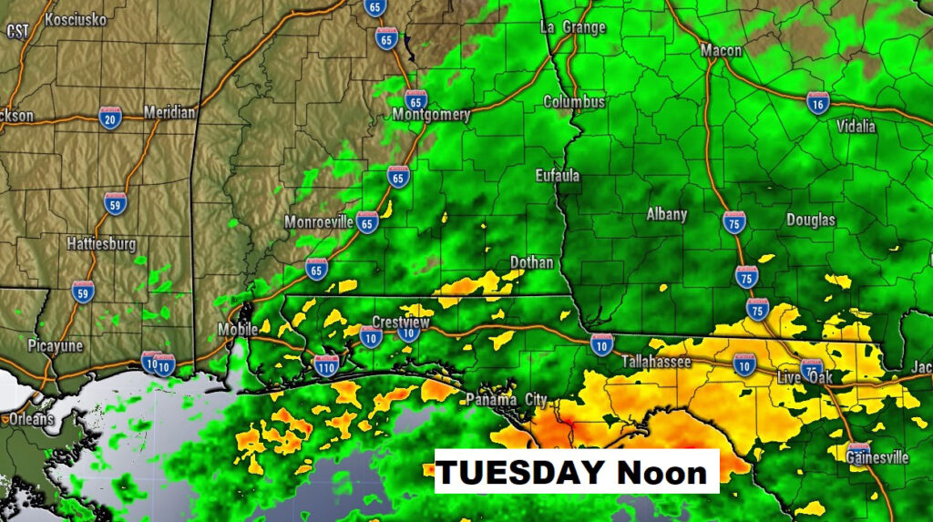
Good Morning! This week will start on a milder note. We may tease the 60 degree mark today, which means today will be the nicest day of the week. A Gulf of Mexico storm system approaches tonight. Rain will overspread the area late tonight and through mid-day Tuesday. Another shot of chilly air arrives by Wednesday. Thursday will be milder. But, even colder air arrives late in the week. Saturday will be the coldest day this week. On this video, I’ll walk you though the details. Plus, we’ll look ahead. Are there any surprises lurking in the next couple of weeks?
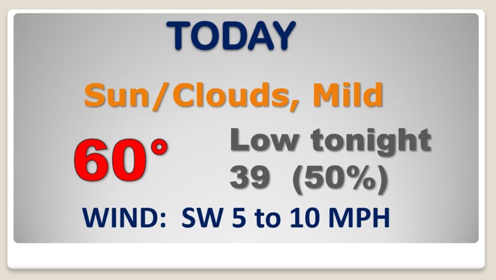
After a cold sub-freezing start this morning, I’m expecting a remarkable recovery. Today’s high will be near 60, making today the warmest day of the week. Clouds will increase. Rain moves in after midnight tonight.
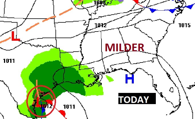
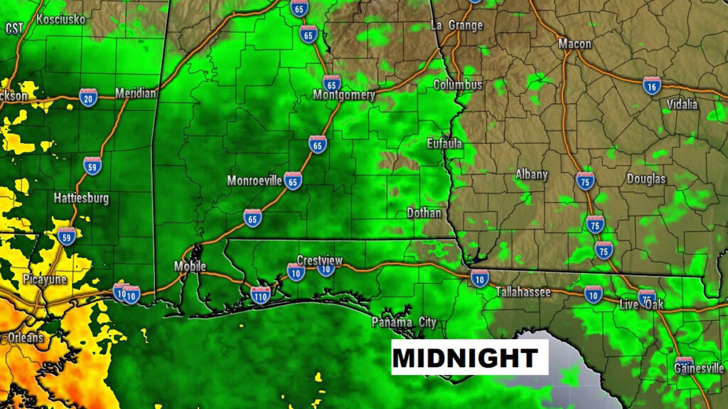
A Gulf Storm System will brush by the state tonight and Tuesday. The low will stay in the Gulf, but the rain shield will make it northward through much of central Alabama. The rain will stick around until mid-day Tuesday.
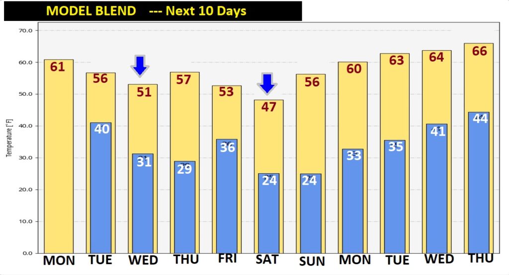
Rain through Mid day Tuesday. Then another “temperature set-back” Wednesday. Milder Thursday. Colder late week. Saturday will be the coldest day of the week ahead.
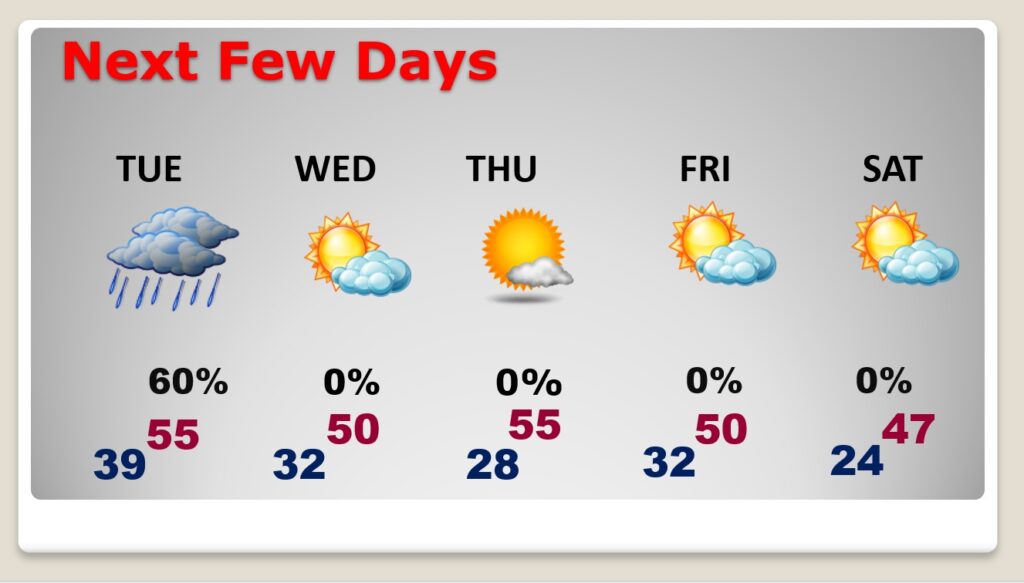
Here’s a profile of the next 10 days on the Model Blend. Warmest day this week will be today. Colder Wednesday. Much colder by Saturday. Next week, fortunately, it looks like temperatures will be more reasonable.
