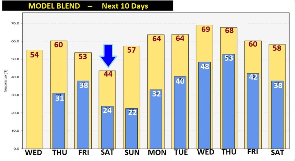
Good Morning! It’s clear sailing for us for the next several days. No storms to worry about till perhaps the middle of next week. Meanwhile, our temperature rollercoaster ride will continue. Our next sample of Arctic Cold arrives by Friday evening. Saturday looks quite cold. We’ll be in the deep freeze mode Friday and Saturday night, especially. On this video we’ll look ahead. Temperatures will start to turn around next week in a warmer direction. But, could we see a late week storm?
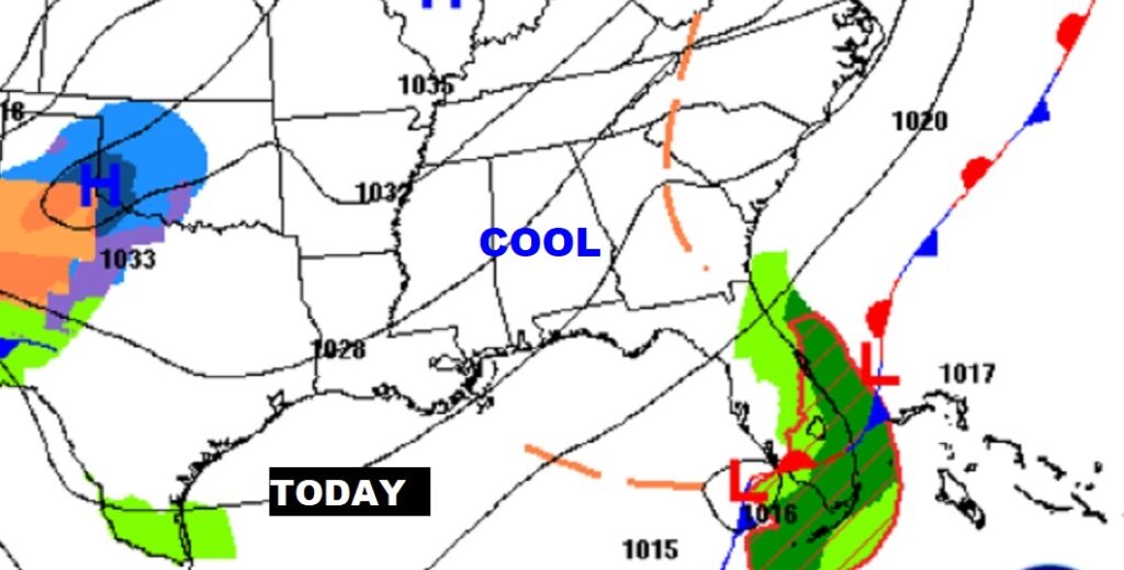
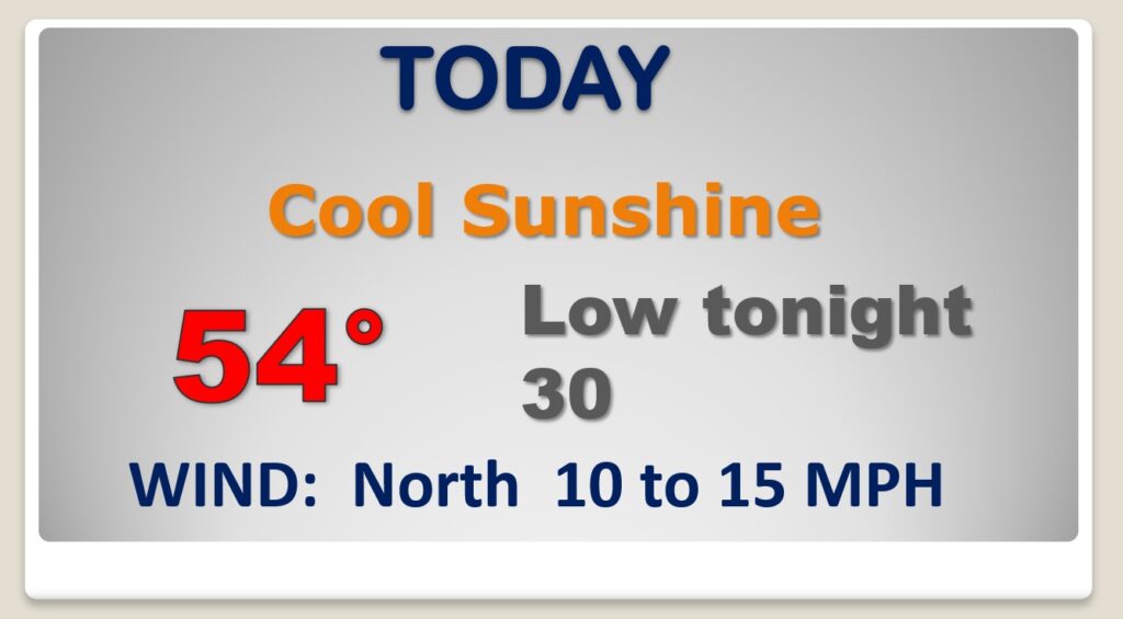
Today will be cooler than yesterday, but sunny. Today’s high middle 50’s. Normal high 60. Chilly tonight. Expect another freeze.
The next quick shot or Arctic Air arrives Friday night & through Saturday and Saturday night. Saturday will be just plain Cold and Raw.
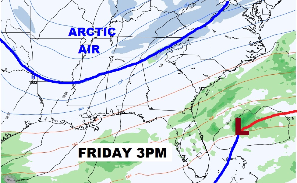
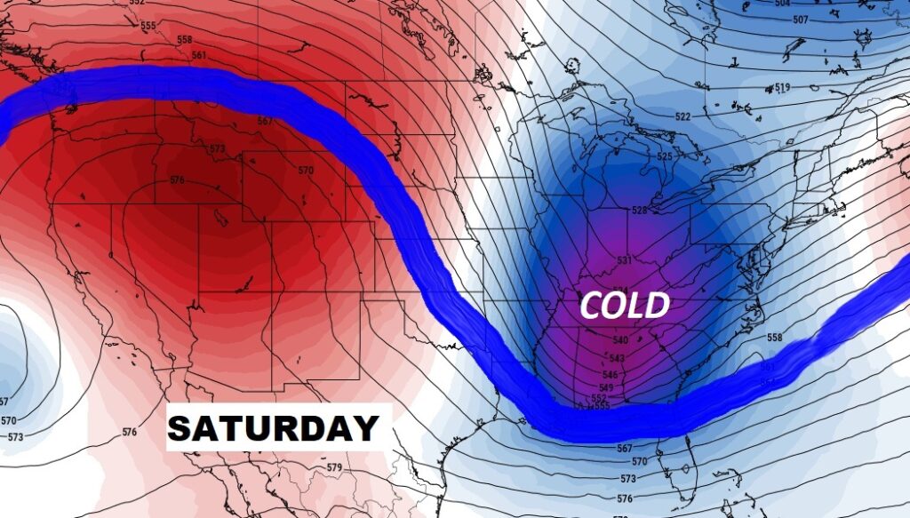
Thursday will be nice. Arctic Air arrives with a cold front Friday evening. Saturday will be cold and brisk. Sunday morning will be the coldest morning. Warmer Monday.
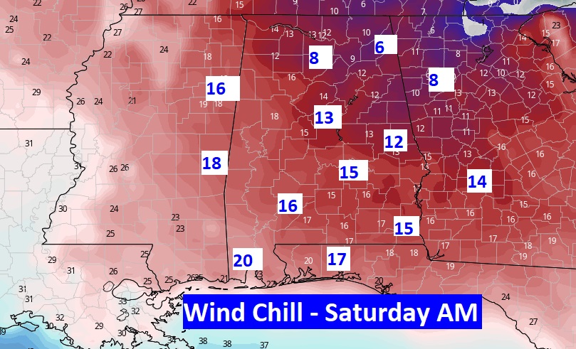
Here’s projected wind chill Saturday morning off the GFS model. Ouch!
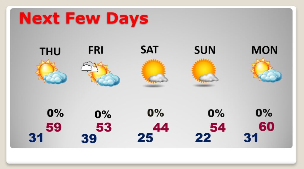
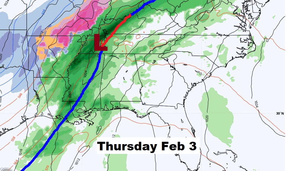
After the Chilly weekend, recovery starts Monday. Well into the 60’s during next week. Potential significant storm somewhere in the Wednesday Night/Thursday time frame.