
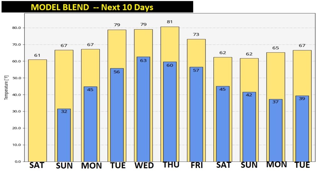
Good Morning! It’s a sub-freezing Saturday morning for most cities & towns in central & south Alabama. But, the news is pretty good for this weekend. Although today will be cooler than normal, the afternoon high will make a nice recovery into the low 60’s. Sunday will be the nicest day of the weekend. Abundant sunshine, upper 60’s.
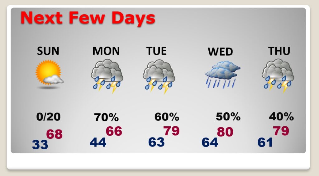
But, get ready for a rather wet & active week ahead. A series of disturbances and fronts will bring showers & thunderstorms back t the forecast, at times, just about every day this week. We’ll see a big warm-up as daytime highs tease 80 degrees by mid-week.
TODAY: Cold start. Sunshine will dominate. Nice afternoon recovery. High 62. (Normal high 66, Low 41) A little breezy. North wind 10-16. Another freeze tonight. Clear and cold. Low 32.
SUNDAY: Sunshine. The morning chill fades quickly. High 68. Sunday Night: Becoming cloudy. Slight chance of showers after Midnight.
NEXT FEW DAYS: After a beautiful Sunday, look for a very active week ahead. Showers and thunderstorms return to the forecast on President’s Day Monday. There will be periods of showers and storm each day through at least Thursday. Warmer, and more humid. Highs near 80 Tuesday through Thursday. Morning lows in the low 60’s.
A series of frontal systems will keep the chance of rain in our forecast through the week ahead.
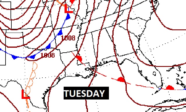
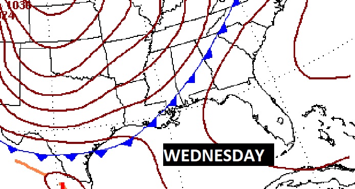
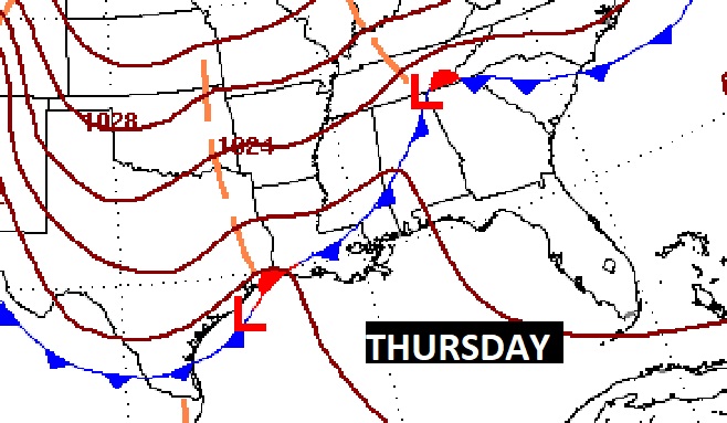
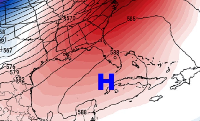
A massive ridge of High Pressure over the Gulf and into the Bahamas will be one of the most important controlling factors in our forecast in the week ahead. It will help pump very warm air into the Gulf South. But, it will also tend to keep the heavier rain and the strongest storm threat north of the I-20 corridor.
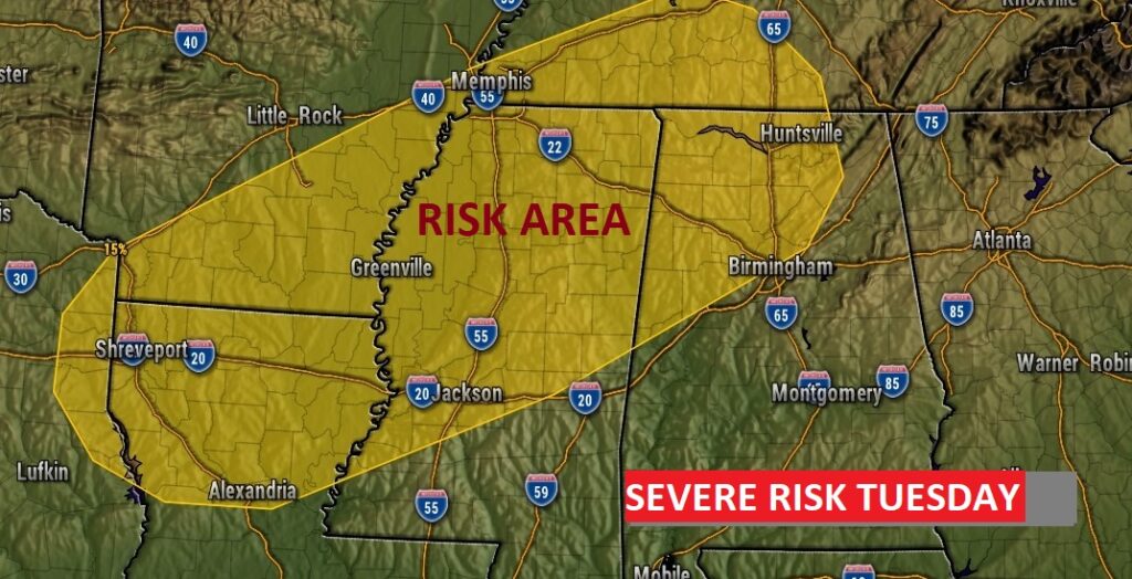
Any Severe Risk this week will be “conditional” on the details for that day. In other words, the storm prediction center hints at a potential severe weather threat, at times across the southeast U. S. in the week ahead, but the details and area coverage are not known yet. They do, however have a severe threat Tuesday that extends into north Alabama. Will we see any severe weather threat in the week ahead? Maybe. Stay tuned. Next week is Severe Weather Awareness week in Alabama.
The best news is — it appears the Arctic Floodgates are closed for at least the next 10 days, if not longer. Have we now turned the corner? Perhaps….
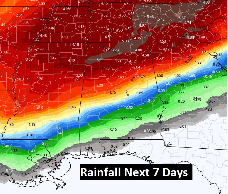
POTENTIAL RAINFALL: How much rain could fall depends on what model you consult. Here’s a look at the model blend. It shows relatively light rainfall amounts across southeast Alabama. Not much. But, potential rainfall amounts increase dramatically from central Alabama northward. Parts of north Alabama could see more than 5 inches of rain this week. Flooding is possible in spots.
TORNADO SURVEYS CONTINUE: So far the National Weather Service has surveyed 3 tornadoes from the Thursday Severe Weather Event. Two more counties will be surveyed in Pickens and Lamar.
Here’s a link to a survey of the three touchdowns already identified.
https://nwschat.weather.gov/p.php?pid=202202181959-KBMX-NOUS44-PNSBMX
.
I’ll have another Blog update in the morning. Have a nice weekend!
–Rich