Good Morning! Welcome to the last day of February. The News is very good in the week ahead. Expect an extended strings of beautiful, storm-free days. Today will be a little cool, but expect a major warming trend for the first five days of March. March is coming in “like a lamb”. On this video, I’ll walk you through the day-to-day details through next weekend and beyond. Today is the last day of Meteorological Winter.
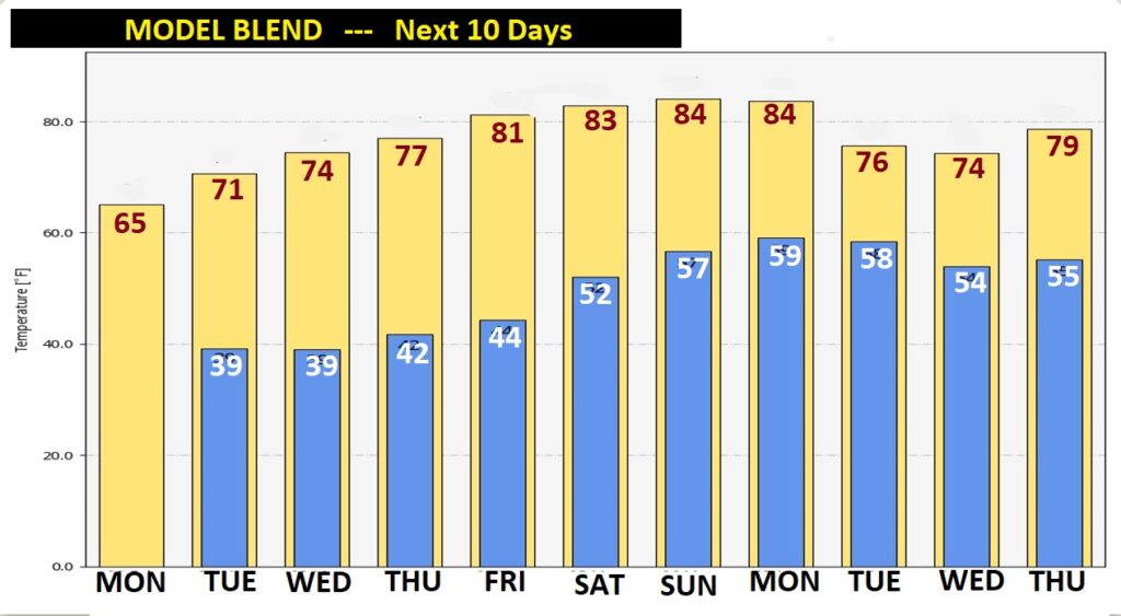
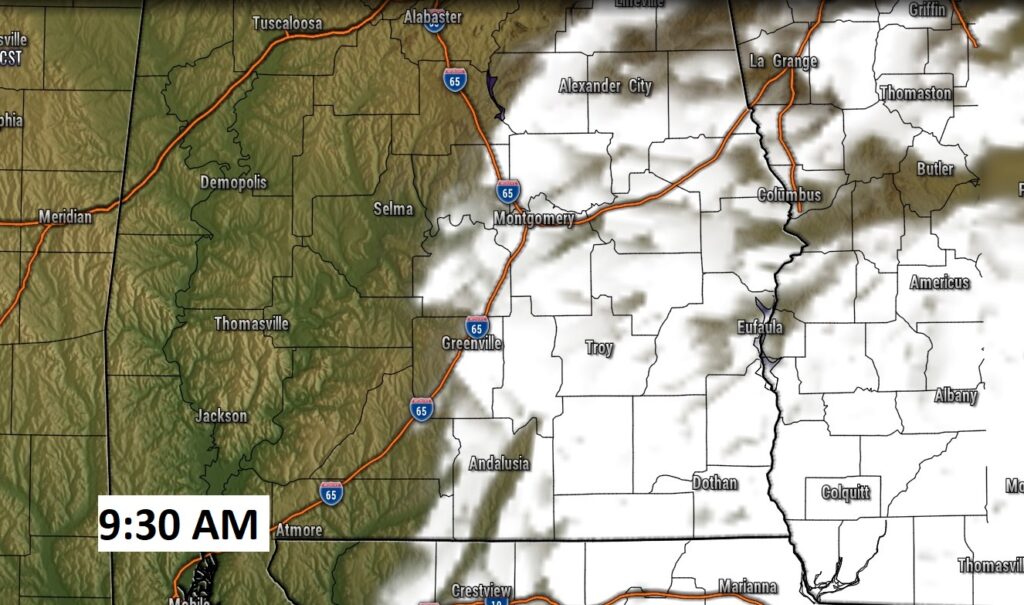
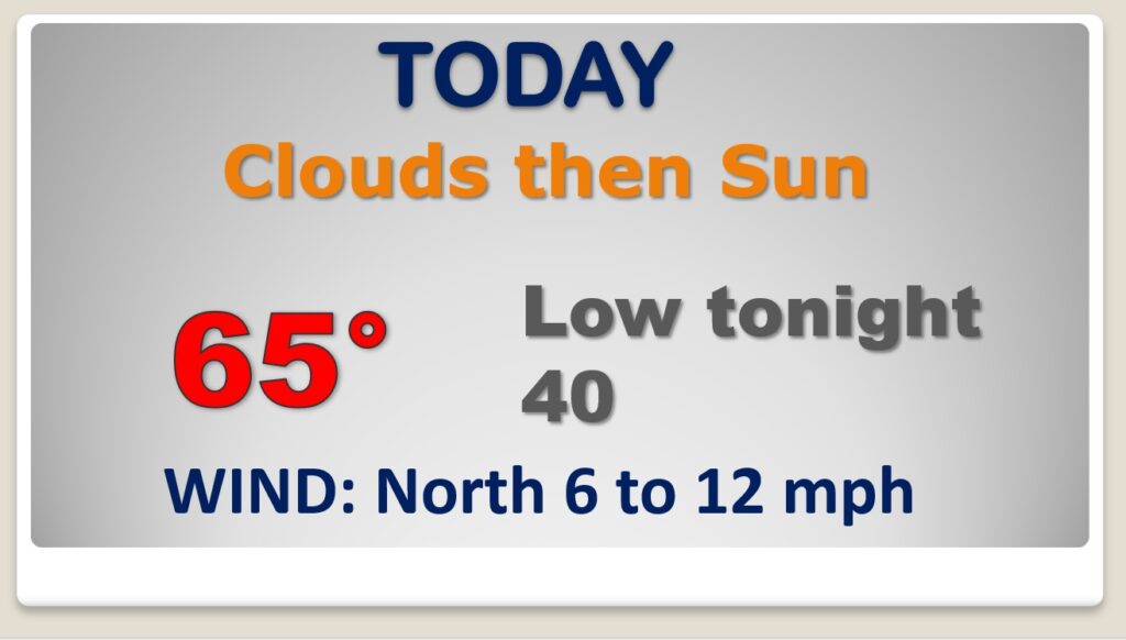
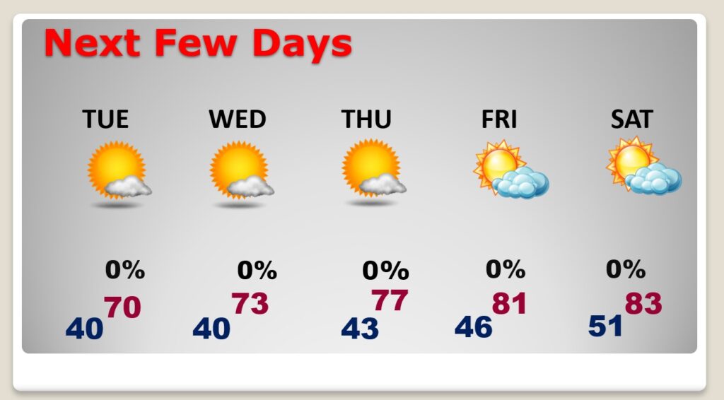
Left-over Clouds will melt away, giving way to sunshine today. Warmer than yesterday. We only had 50’s yesterday. We’re headed for mid 60’s today. (normal high 68..low 43) Chilly tonight. Low 40.
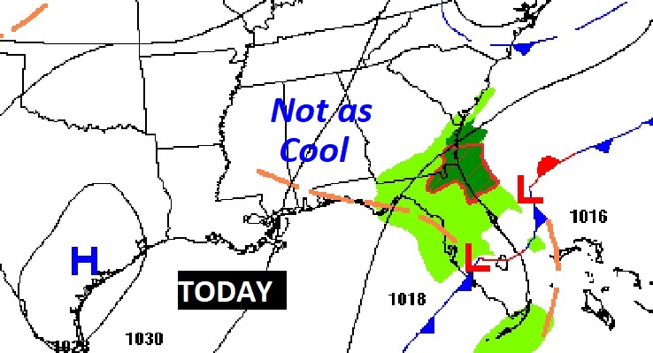
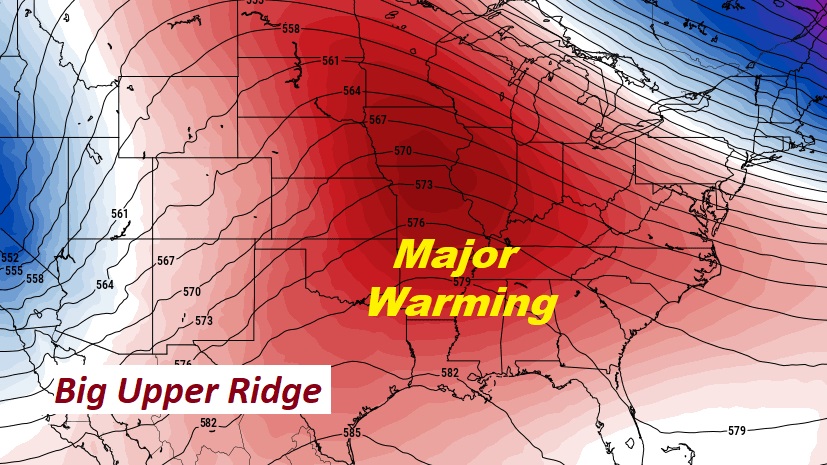
The main weather feature effecting our weather this week will be a major upper level ridge of high pressure which will promote a warming trend, and divert storm systems around us.
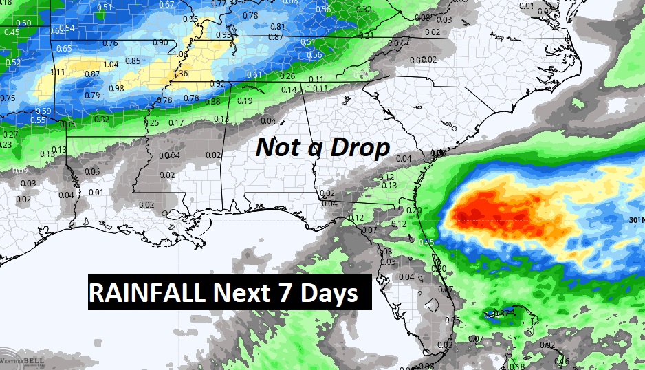
This map speaks volumes. Rainfall for the next 7 days. Notice how the upper high keeps us bone-dry, through the upcoming weekend.
Remarkable string of days and March begins tomorrow. Storm-free. Lots of sun. And, a remarkable warming trend.
The model blend over the next 10′ days has some very good news. An early spring-like pattern. No signs of cold air.
