Good Morning…Welcome to March! March is coming in “like a lamb”. The news is very good for the first 5-6 days of this new month. Expect a series of storm-free, mostly sunny days. Each day will be a little warmer. A significant warming trend. By late week, it will feel more like early May than early March. How long will it last? When is the next storm system? We’ll look ahead.
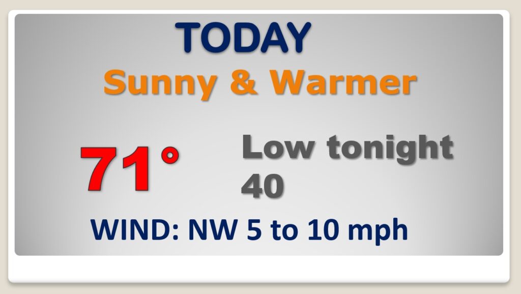
The first day of March couldn’t start on a nicer note. The morning chill in the upper 30’s fades quickly. Sunshine will push the mercury to 70 or above this afternoon. Clear and cool tonight.
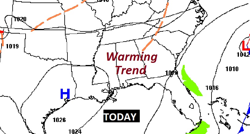
A huge ridge of upper level high pressure, up in the 18,000-20,000 foot range will act in 2 important ways. It will act as a shield for any potential storm systems for the next 5 to 6 days. Second, it will promote a major warming trend. Each day will be a little warmer.
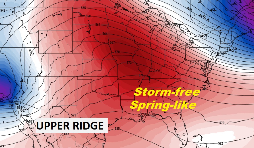
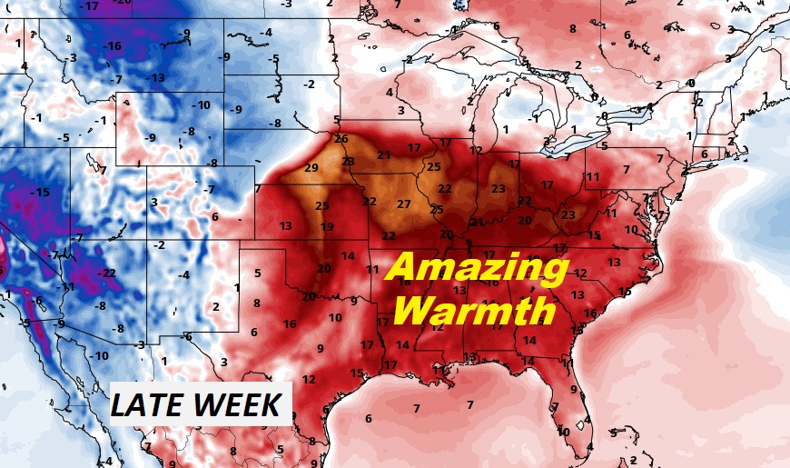
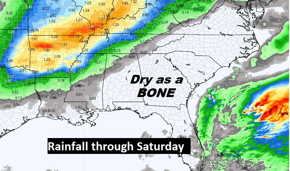
Under the Upper High, expect no rain. Pretty amazing string of days.
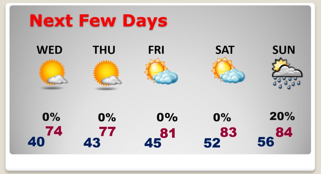
Spring-like forecast. Cool nights & mornings. Pleasantly warm afternoons. Each day a little warmer. Slight chance of showers Sunday.
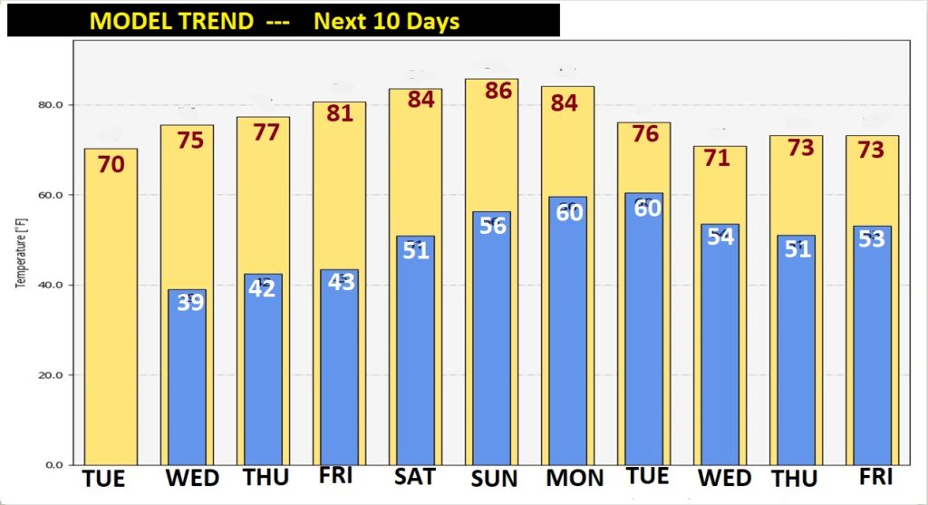
The 10 day Model Temperature Blend is incredible. Look at this remarkable warming trend this week. 80 or above Friday through Monday. More like early May. Cooler next week as the next major storm system moves through.
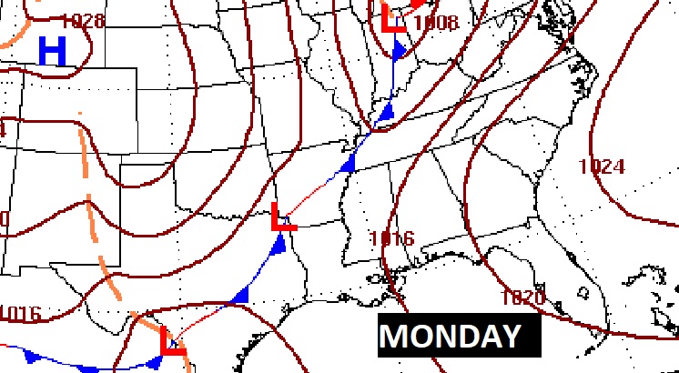
The next “big deal” storm system will affect the state with showers and thunderstorms early next week.
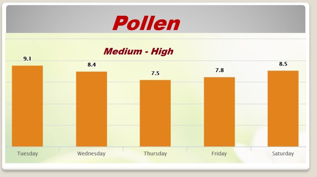
“Tis the season of pollen. This week….not too bad…YET.
Today is the first Day or Meteorological Spring. The Vernal Equinox is now 19 days away.
