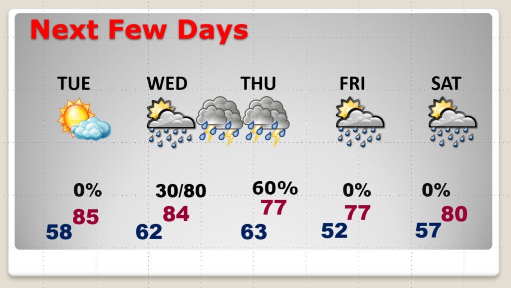
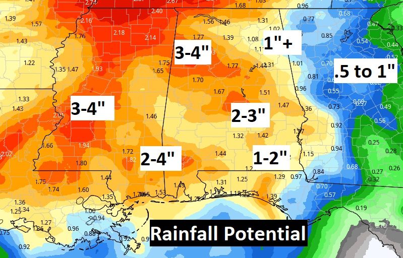
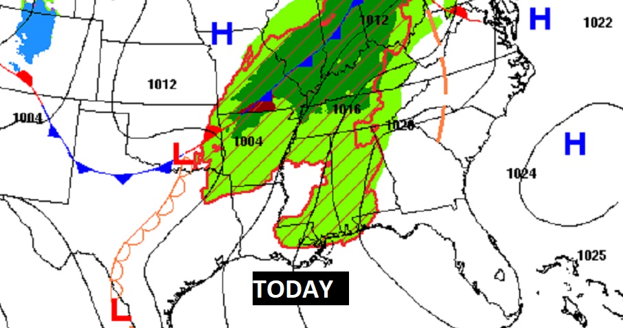
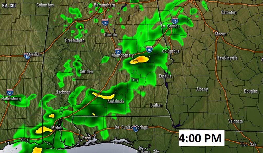
Good Morning! Our warm-up continues today. An upper level disturbance will bring some widely scattered showers and maybe a thunderstorm this afternoon. Tuesday will be dry & warm. All eyes of a major storm system which bring severe weather threat to the Plains today and spread slowly eastward tomorrow and Wednesday. For Alabama, it looks like we’re in for yet another round of strong to severe storms beginning in the west Wednesday afternoon and sweep across the rest of the state Wednesday night. On this video, I have updated threat level from the Storm Prediction Center and the potential timeline.
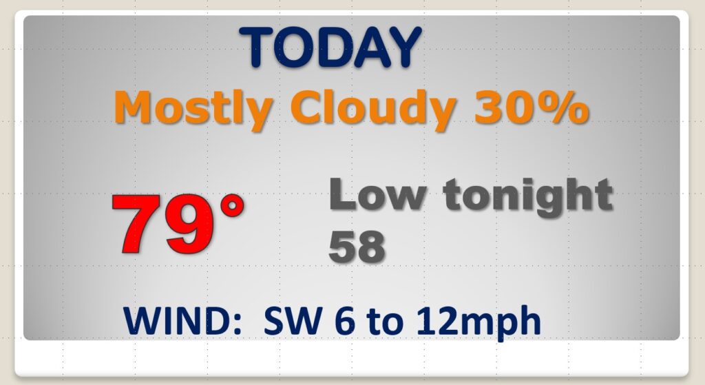
Warmer day today. Spotty pm showers.
Yet another severe weather threat by late Wednesday and Wednesday night.
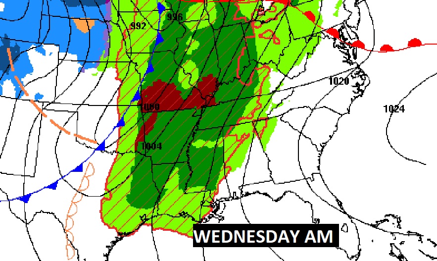
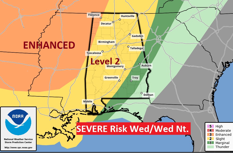
Dry and warm Tuesday. Severe weather Wednesday night. Risk of showers Friday & Satrday
