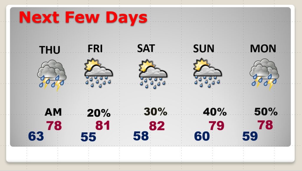
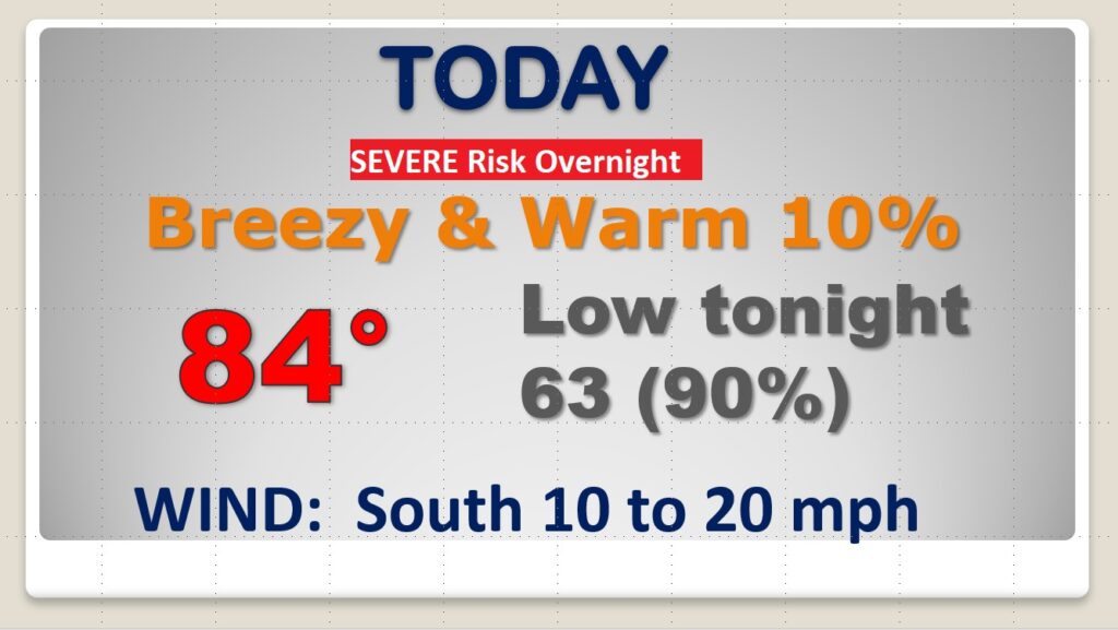
Good Morning! Here we go again. A significant storm system will affect Alabama by tonight. Much of this day will be dry, breezy & warm. Overnight, however, a band of strong to severe storms will overspread the state. The greatest severe weather threat will be across the northwest counties. But, all of our state has a severe weather risk. The primary threat, for many of us, will be damaging wind gusts, but tornadoes can’t be ruled out. On this video, we’ll look ahead. What happens after this storm system? We’ll look ahead to the details of the Easter Weekend forecast.
Much of this day will be dry, breezy and warm. Showers and locally severe storms will overspread the area overnight tonight.
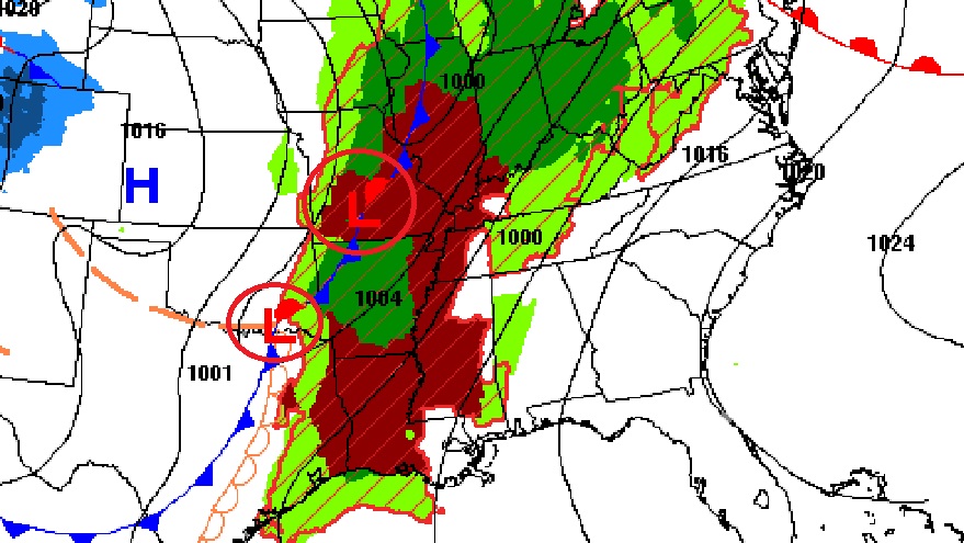
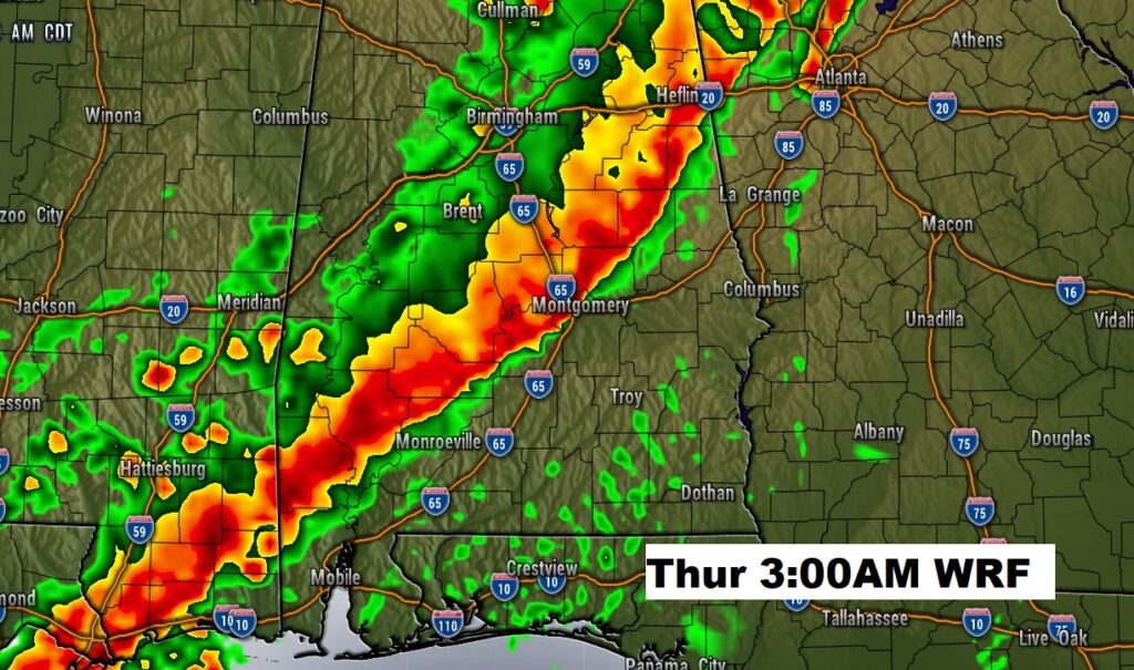
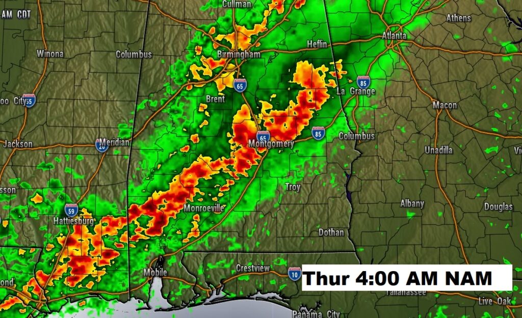
We’ll be tracking a line of strong to severe storms overnight tonight. Here’s a couple of model ideas on potential timing of the line.
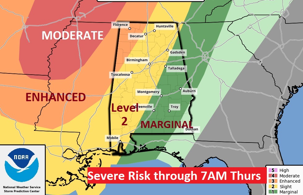
All modes of severe weather are possible. The greatest threat for most of us will be damaging wind gusts. The greatest tornado risk will be across west and northwest Alabama. Here’s the SPC threat level map through 7AM Thursday.
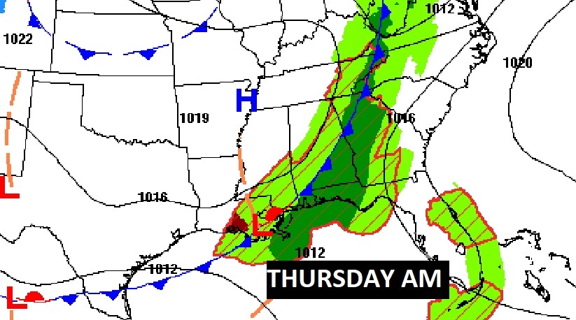
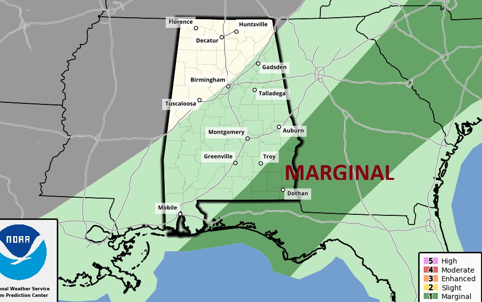
Tomorrow morning the severe weather risk shifts to SE Alabama, Georgia and Florida.
The Easter weekend will NOT be a washout, but scattered showers and thunderstorms will be around from time to time.
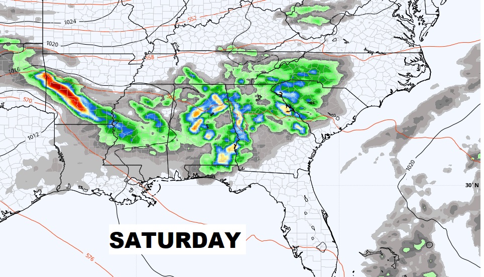
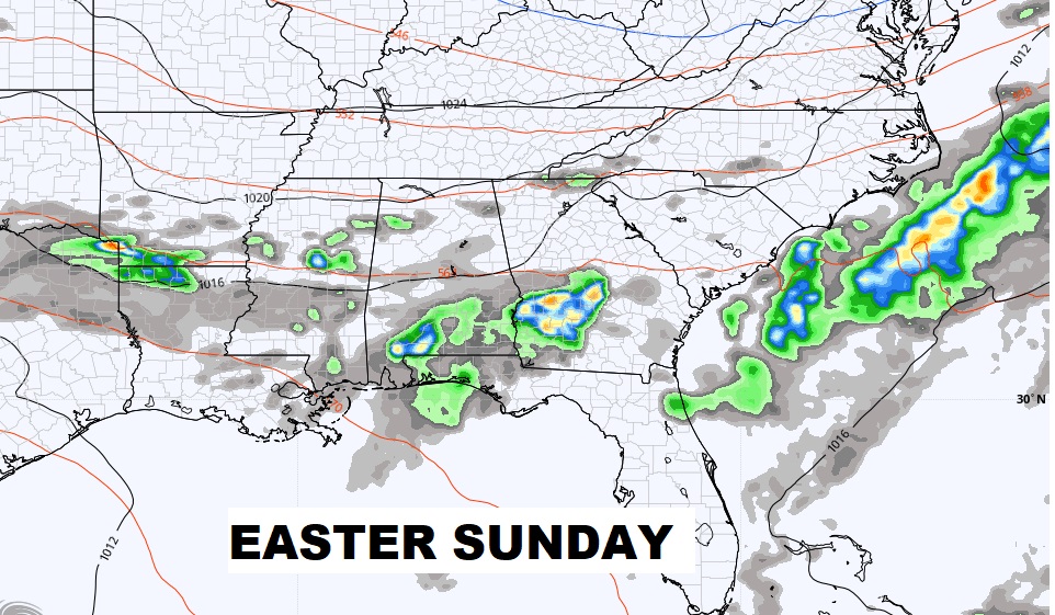
Showers and storms move out by mid-day Thursday. Small rain chance Good Friday. Scattered showers and thunderstorms Easter Weekend. Better rain chance Monday.
