
Good Morning! Here’s my brief video forecast discussion.
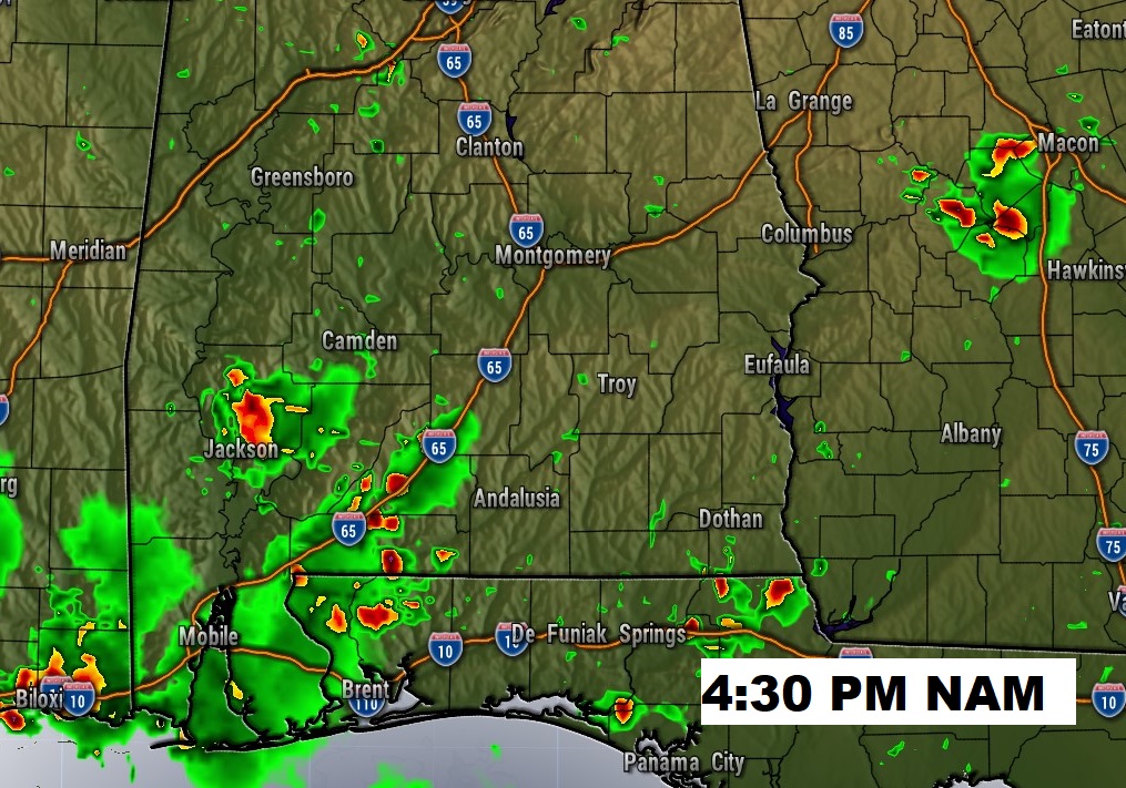
TODAY: Much like Sunday. Good bit of sun, mixed with clouds. Hotter. High in the lower 90’s. Northwest wind at 5 to 10. Widely scattered mainly afternoon and evening storms. Like yesterday, there could be a few stronger storms, with damaging wind gusts and hail possible.
Low tonight mid 60’s.
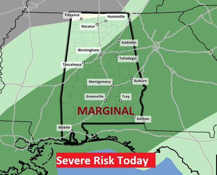
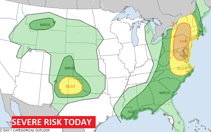
Storm Prediction Center has a Marginal Severe Risk much of the state today. There could be a few stronger storms, with damaging wind gusts and large hail possible.
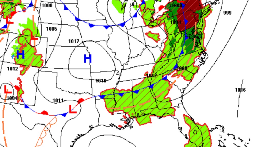
The frontal system crossing the nation today will be the catalyst for big storms especially across the northeast US.
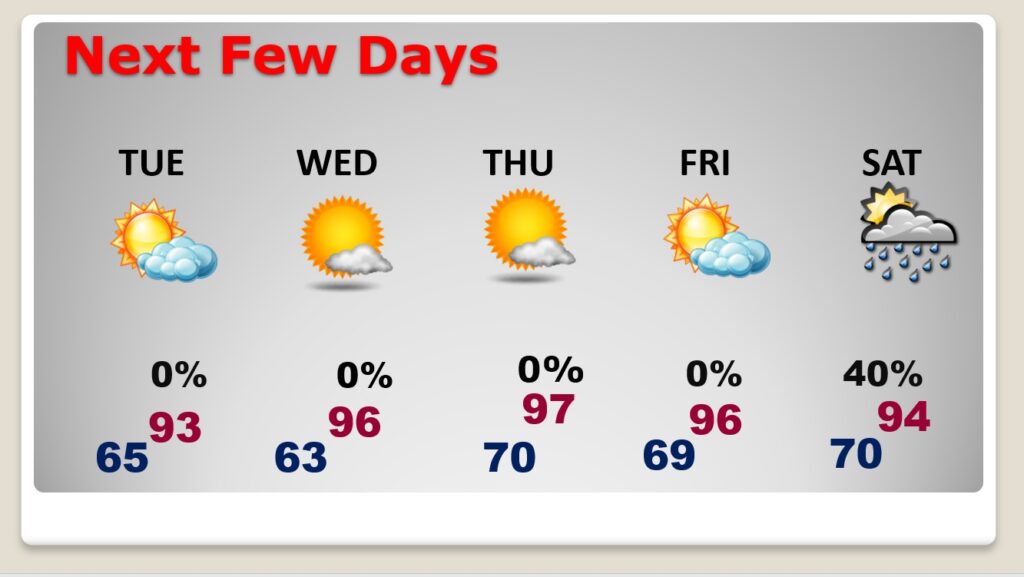
NEXT FEW DAYS: Hot days on the way. Lots of sunshine. Low to mid 90’s Tuesday. Mid 90’s Wednesday. Flirting with upper 90’s late week. Scattered thunderstorms Saturday.
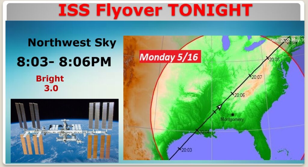
SPACE STATION FLYOVER TONIGHT: If the clouds cooperate, there should be a really nice (ISS) Space Station flyover tonight, in the Northwest sky.
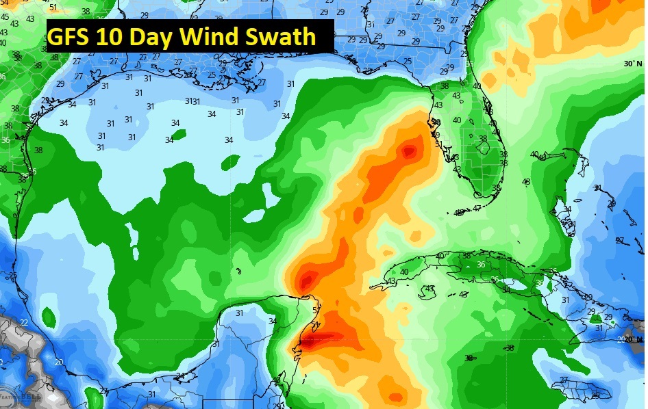
FUTURE GULF TROPICAL MISCHIEF?: I hesitate to show this. For many days, the GFS has been hinting at some pre-season Tropical Trouble in the Gulf. Here’s the wind swath in the 7 to 11 days range. We’ll continue to watch. First name up this year is Alex.
We’ll see….
—
Thanks for reading this Blog this morning!
This morning we are LIVE on the radio from 6 to 9 on NewsTalk 93.1. Watch us on TV on CBS 8 and ABC 32. I’ll have another update for you in the morning. Have a nice day.
–Rich