
Good Morning! Here’s my brief video forecast discussion.
TODAY: Not too hot, compared to last week. High near 90. Scattered random showers & thunderstorms, most numerous in the afternoon & evening hours. Best rain chance today will be along and south of I-85, Low tonight 73.
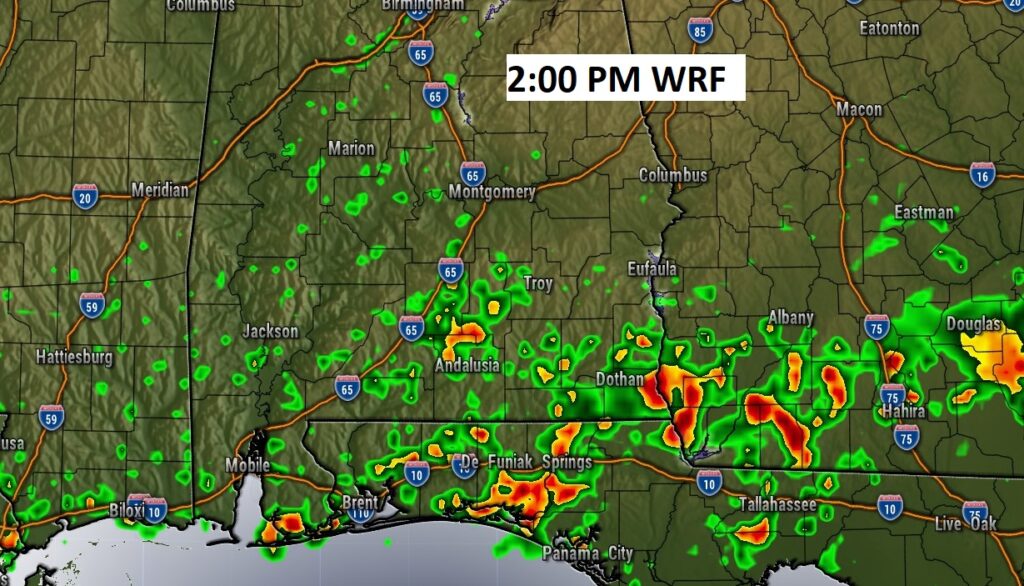
Here’s a Future radar snapshot at 2:00PM. The most concentrated showers & storms will be in extreme south Alabama along a stalled front.
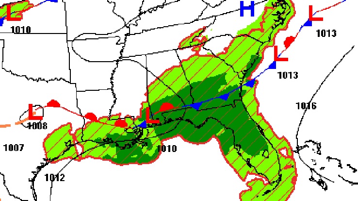
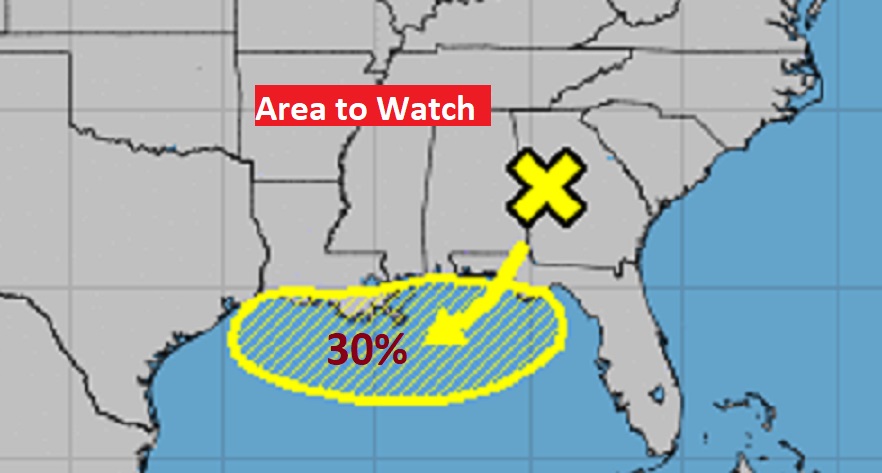
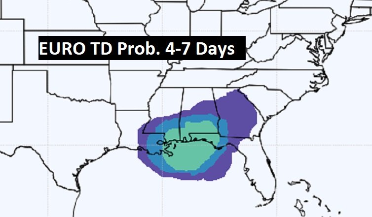
TROPICAL TROUBLE?: The stalled front near the coast could be the breeding ground for some Tropical development this week.
NHC has a 30% chance of development with this area to watch in the northern Gulf.
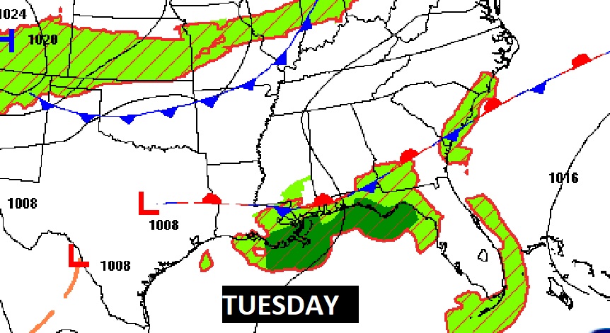
The EURO model also suggests possible development in the week ahead.
The Expected rainfall outlook is another clue about possible development.

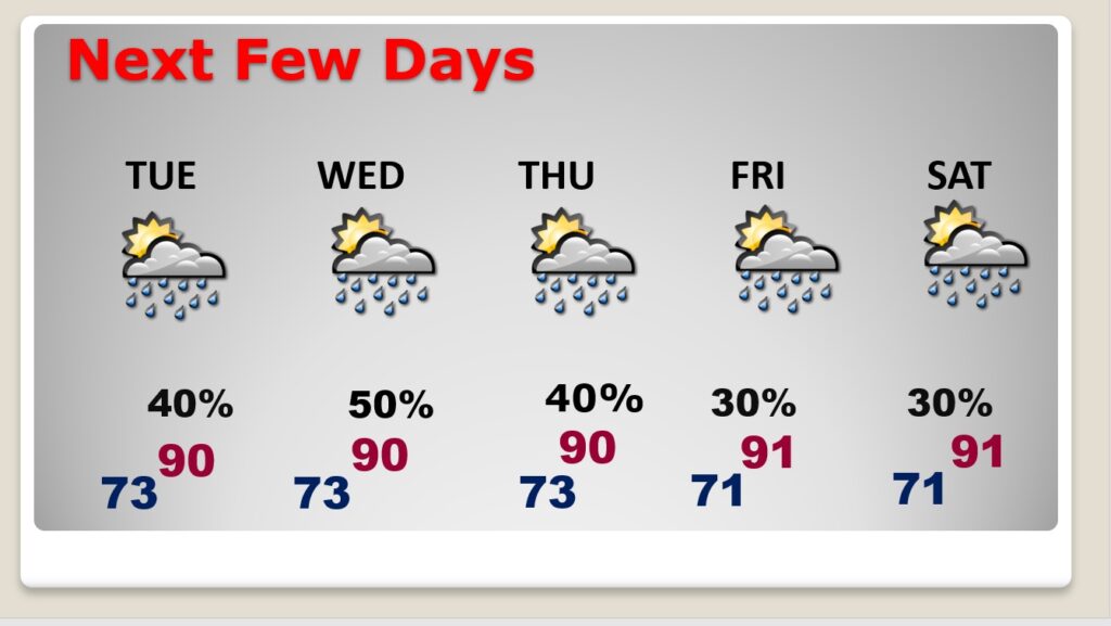
NEXT FEW DAYS: Scattered showers & thunderstorms, each day, most numerous in the afternoon & evening hours. Highs around 90. Low at night low 70’s.
—
Thanks for reading this Blog this morning! This morning we are LIVE on the radio from 6 to 9 on NewsTalk 93.1. Watch us on TV on CBS 8 and ABC 32. I’ll have another update for you in the morning. Have a nice day.
–Rich