
Good Morning! Here’s my brief video forecast discussion.
CLIMATE DATA: Yesterday’s high in Montgomery was 94, with a Heat Index as high as 102. Morning low 73. Normal High/Low 94 and 72. Rainfall: 0,0”. Sunrise at 5:57 AM
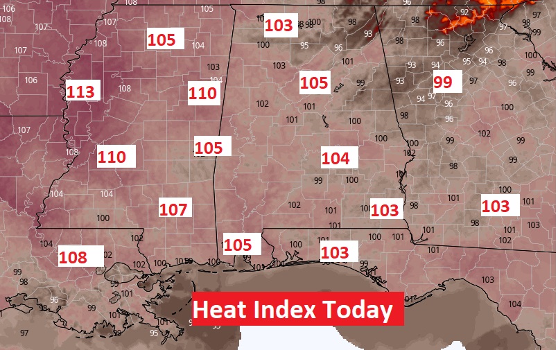
TODAY: Sun/Cloud Mix. Very Hot & Humid, again. Today’s High near 96. Heat index 100 to 104. Not many storms, again Widely Scattered random showers & thunderstorms mainly in the afternoon & evening. Isolated. Low tonight 75.
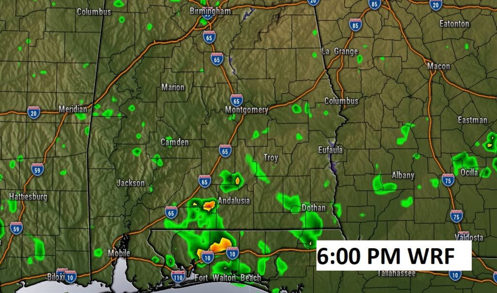
Future Radar (WRF) suggests there won’t be much activity today. Showers and storms will be few and far between.
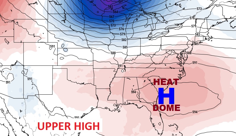
Excessive Heat Indices across the Gulf South today. Oppressive/dangerous Heat Indices.
.
.
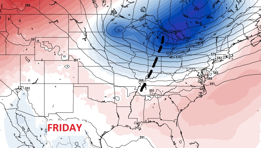
NEXT FEW DAYS: Good bit of sun. High in the upper 90’s Thursday. Heat index close to the 105 danger level. Low at night mid 70’s. Widely Scattered random afternoon & evening storms Thursday. Rain chances improves by Friday & Saturday. Scattered to numerous storms. Storms become more scattered Sunday & Monday.
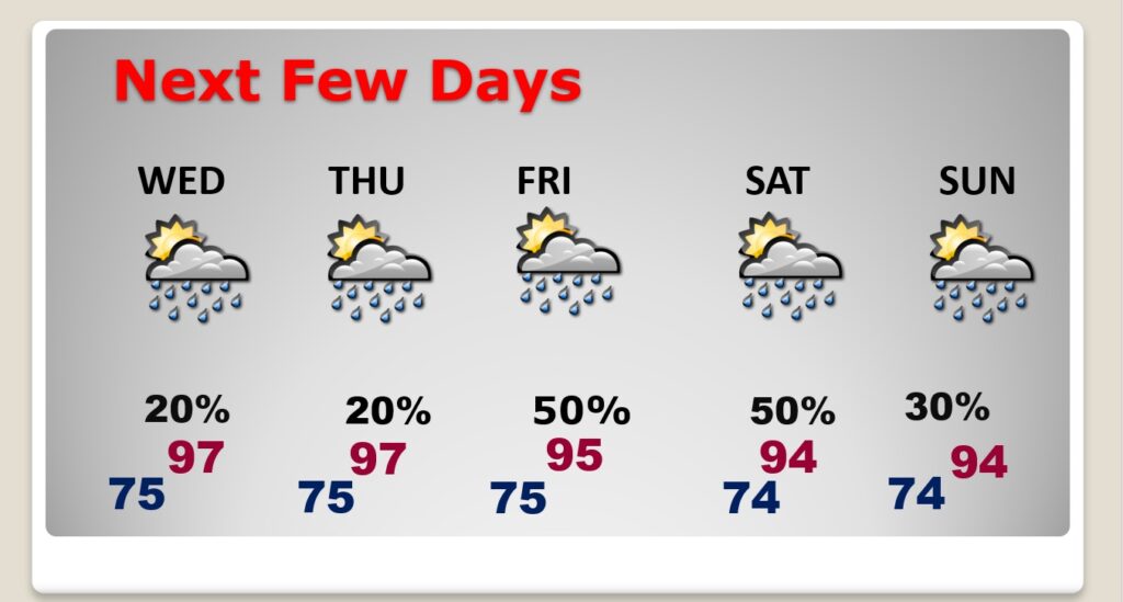
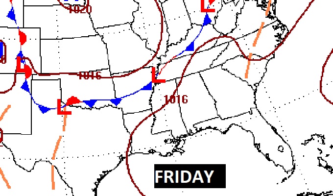
An approaching frontal system should enhance the rain chances by Friday & Saturday. More scattered storms on Sunday.
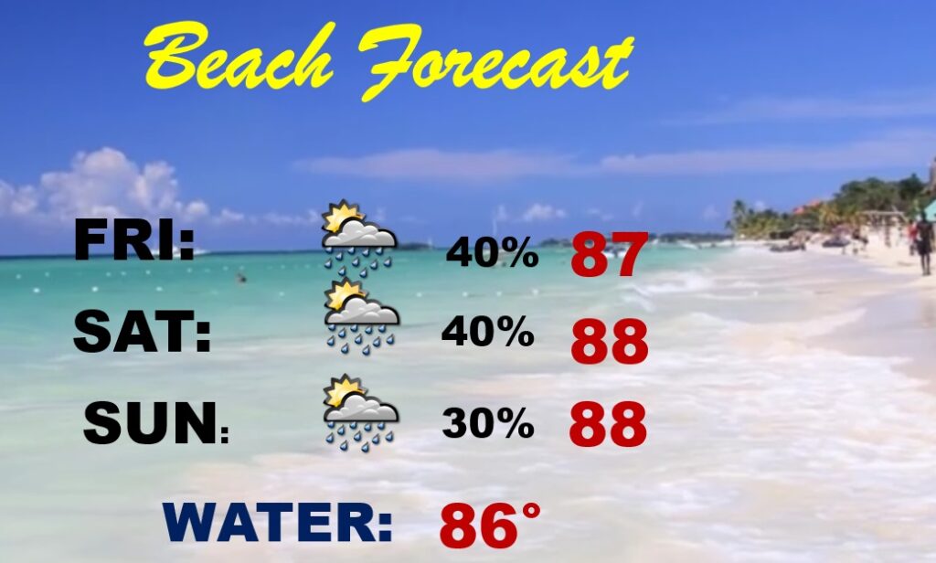
BEACH OUTLOOK: Pretty routine forecast. A good bit of sun. High in the upper 80’s. Scattered random storms each day. Gulf water temperature 86.
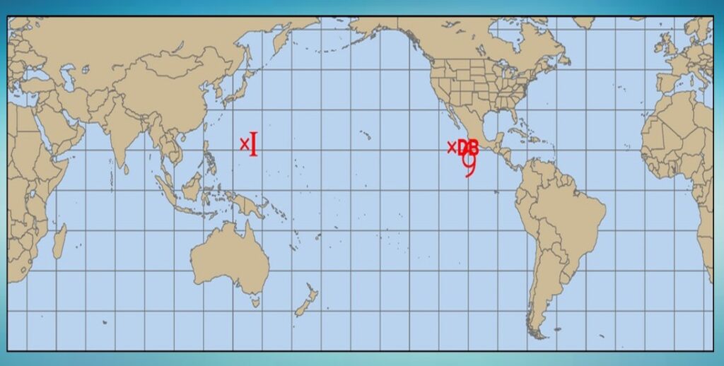
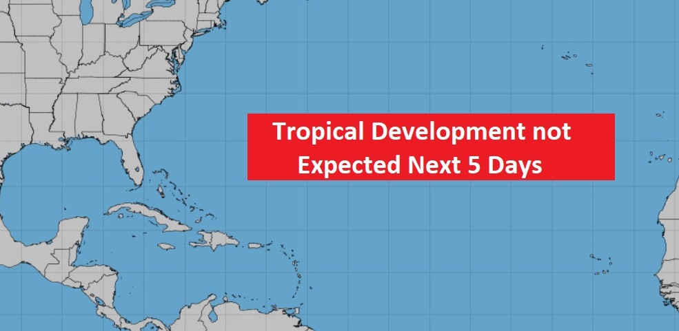
TROPICAL OUTLOOK : The tropics continue very quiet for now.
In the whole world, there is only ONE names Tropical System. Frank in the eastern Pacific off Mexico.
Thanks for reading this Blog this morning! This morning we are LIVE on the radio from 6 to 9 on NewsTalk 93.1. Watch us on TV on CBS 8 and ABC 32. I’ll have another update for you in the morning. Have a nice day.
–Rich