
Good Morning! Round one of our two-part weekend storm system will exit our state fairly early. Much of Back Friday and tonight will be dry and mild. Round two arrives Saturday night. More showers and storms. Locally heavy rainfall.
TODAY: The risk of showers & storms will exit our state fairly early today. Much of this day (and tonight) will be dry & fairly comfortable. High today mid 60’s. Northeast wind 5 to 10 mph. Mostly cloudy tonight. Low 51.
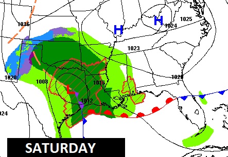
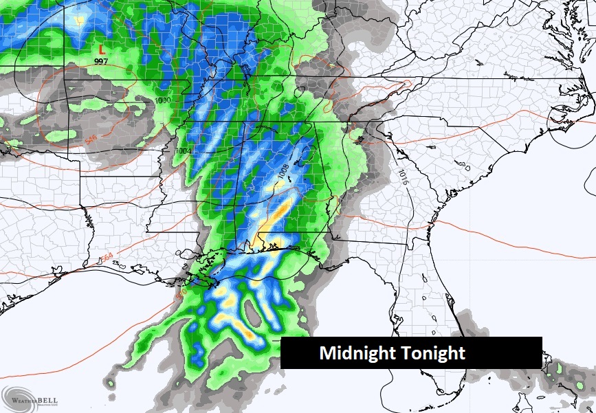
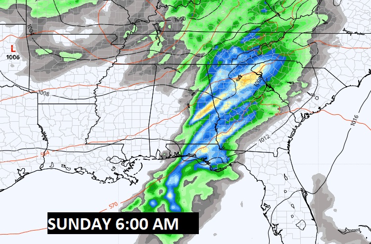
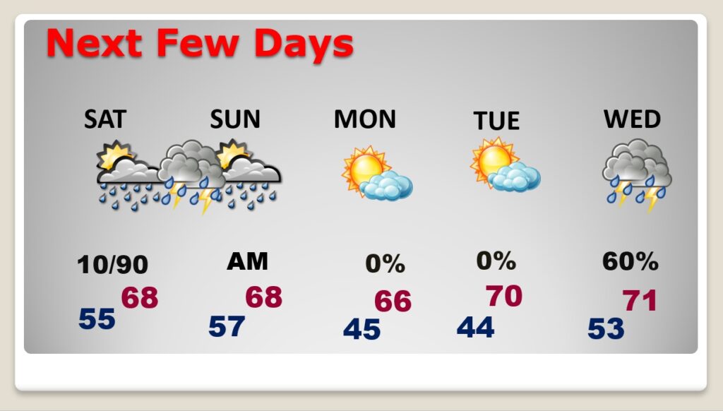
SATURDAY: Much of Saturday should be dry. Mostly cloudy, but mild. High in the upper 60’s. The Best chance for showers & storms will spread across the area Saturday evening, and Saturday night…especially in the overnight hours. The rain threat will end in the morning hours Sunday.
NEXT FEW DAYS: Dry weather returns for Sunday, Monday & Tuesday. Most highs will be in the 60’s. Perhaps near 70 by Tuesday. Another significant storm system will bring in more showers & storms by Wednesday. This could potentially be a Severe Weather Threat.
Thanks for reading this Blog this morning! I’ll have another update for you in the morning. Have a nice day!
–Rich