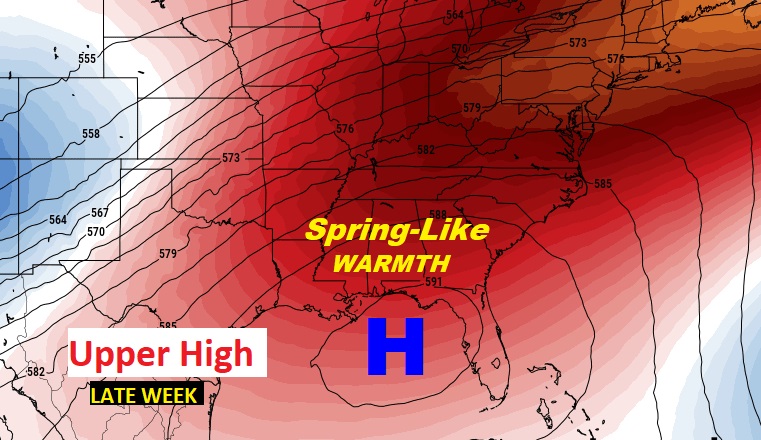
Good Morning! An approaching front could bring some scattered showers and storms to the area today, but the showers will be spotty in coverage. Today will not be a washout. Some towns will stay dry. Just carry the rain gear in case. It will be quite mild ahead of the front today, but it will be several degrees cooler behind the front on Sunday. The big news next week involves a major warming trend. Much of the week will be dry and Spring-like.
TODAY: Very mild for December. Spotty showers possible, particularly this afternoon & this evening. Maybe the rumble of thunder. High 72. Low tonight 52. South winds at 5 to 10 (Normal High/Low 65/40).
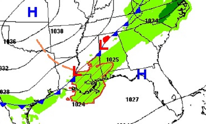
The southward moving front will reach the coast by tomorrow morning.

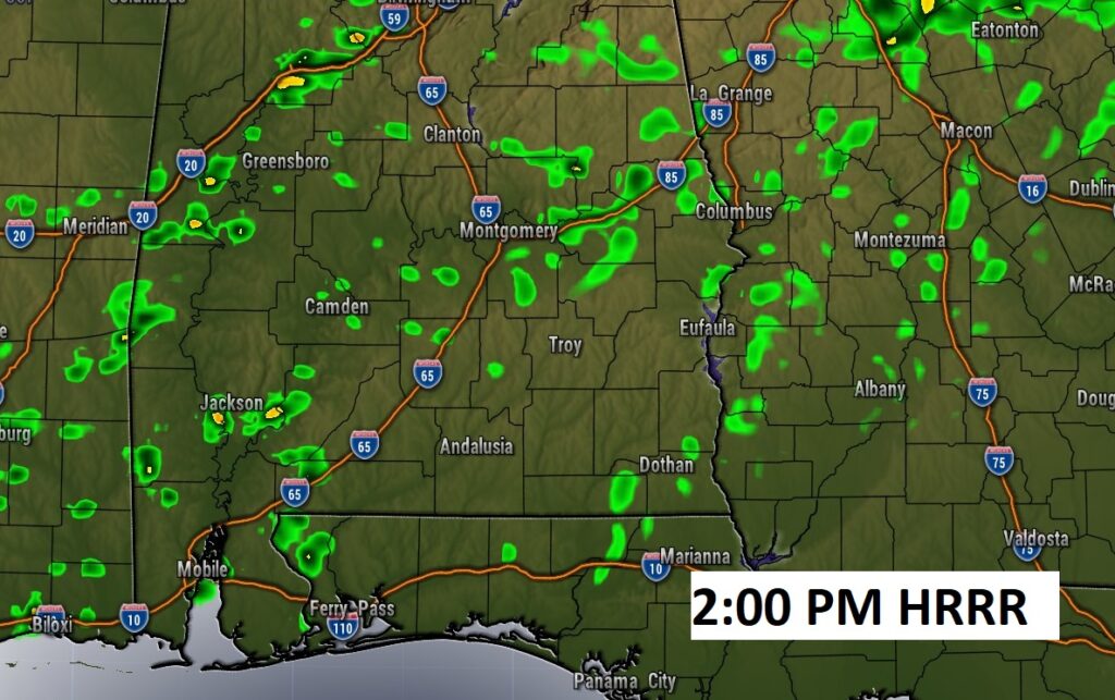
Future Radar shows how spotty the showers will be later today. Some towns will not get any rain at all. Here’s a sample of the HRRR model output at 2PM and 7PM.

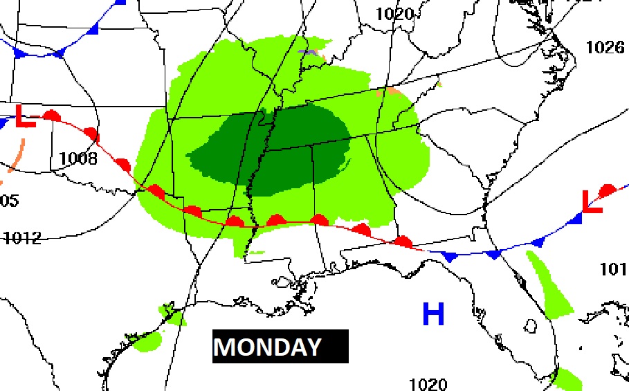
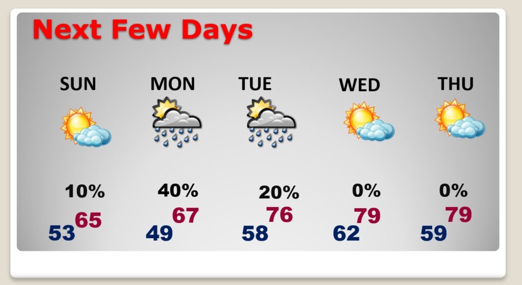
NEXT FEW DAYS: Sunday will be a few degrees cooler behind the cool front. A northward moving warm front will bring another round of showers to the state Monday.
But, much of next week will be dry and remarkably warm for December. But, we need rain and not rain prospects for much of next week is not good.
A huge upper level high will be responsible for Spring-Like Warmth next week. An amazing string of days in December.
Thanks for reading this Blog this morning! I’ll have another update for you in the morning. Have a nice day!
–Rich
