
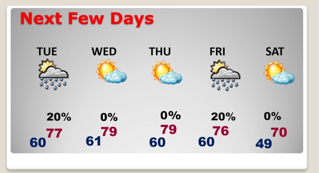
Good Morning! This week will start off a mild note. A northward moving warm front could bring some spotty showers. We have an unusually warm week ahead, especially Tuesday through Thursday. Normal high/low 64/40. We’ll be in the upper 70’s Tuesday through Thursday. It appears that record highs are not in the cards. Cool front approaches Friday. Small chance of showers. Cooler by Saturday.
TODAY: Mostly cloudy. Widely scattered showers possible. Mist towns will stay dry. Mild for December. High near 70. SE winds 5 to 10 mph. Very mild tonight. Low near 60.
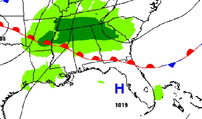
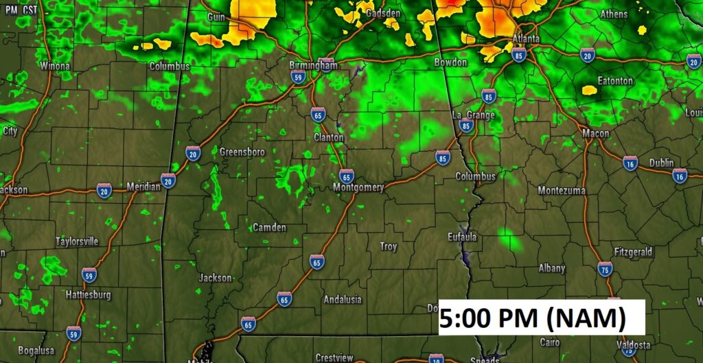
A northward moving warm front will be responsible for some spotty showers. But, the rain chances will be small.
NEXT FEW DAYS: We have an unusually warm week ahead, especially Tuesday through Thursday. Normal high/low 64/40. We’ll be in the upper 70’s Tuesday through Thursday. It appears that record highs are not in the cards. Cool front approaches Friday. Small chance of showers. Cooler by Saturday. High near 70.
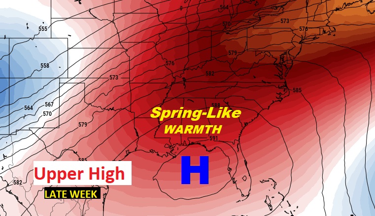
A large upper level High will be responsible for the Spring-Like warmth in the week ahead.
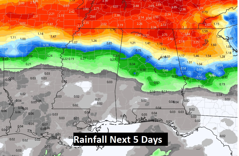
For the next 5 days, by far the BEST chance of rainfall will be across the northerner part of Alabama. Rainfall will be very spotty at best over central & south Alabama.
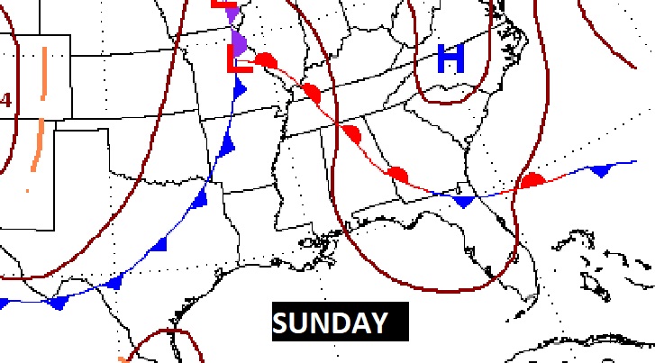
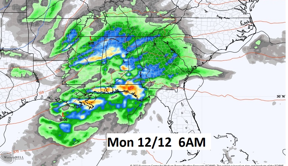
Looking ahead, it appears the next “big-ticket” weather event, could be toward next Sunday, Sunday night into next Monday, as a significant frontal system sweeps through the area. It’s too early to speculate on the potential impact this system will have on our weather.
Thanks for reading this Blog this morning! This morning we are LIVE on the radio from 6 to 9 on NewsTalk 93.1. Watch us on TV on CBS 8 and ABC 32. I’ll have another update for you in the morning. Have a nice day!
–Rich