
Good Morning! We’re enjoying a quiet pattern after the tornado drama earlier in the week. Sunshine will dominate today and Saturday. Temperatures will be near normal today, and a little warmer Saturday. Scattered showers hold off until late Saturday night and Sunday. No Severe weather is expected. No “big ticket” weather for at least the next 5-6 days. And, still, looking out 10 days, the Arctic Flood Gates remain closed for now. Here’s my brief forecast discussion.
TODAY: Cool sunshine, but near normal Nice day for early January. High 59. Northwest Wind 5 to 10 mph. Clear, Chilly tonight, but near normal. Low 36. Normal 59/37.
(Yesterday High 64, low 43. FULL MOON is today. It’s the Full Wolf Moon)
MORE TORNADO SURVEYS: NWS Birmingham conducted more tornado surveys yesterday. So far, 11 tornadoes have been surveyed, including at least 4 EF-1s and one EF-2 (Lake Jordan Tornado). That was the big tornado of the day, with a 9 mile track and 800 yards wide. The east Montgomery tornado (Halcyon Tornado) was an EF-1, nearly 2 miles long, 130 yards wide. Here’s a link where you cab read DETAILED info on each tornado.
https://nwschat.weather.gov/p.php?pid=202301060040-KBMX-NOUS44-PNSBMX
.
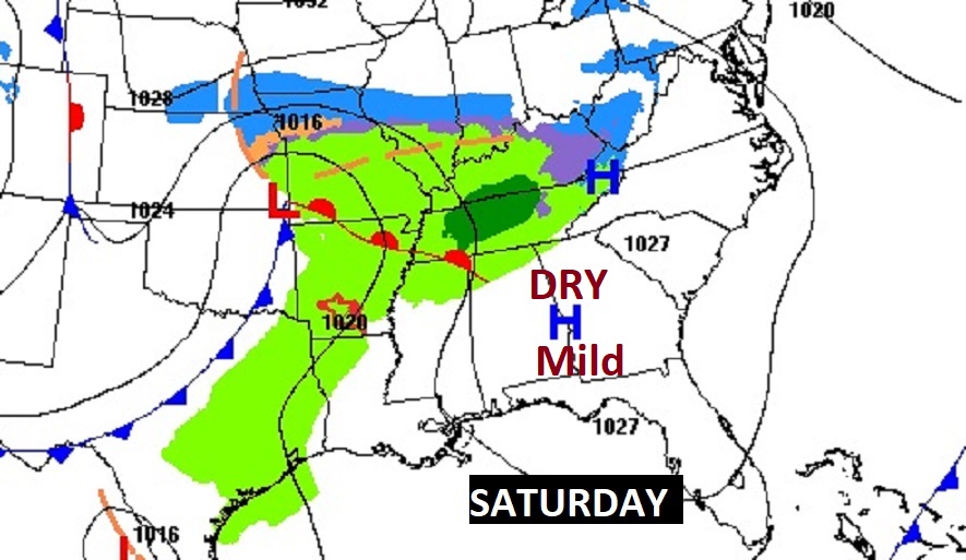
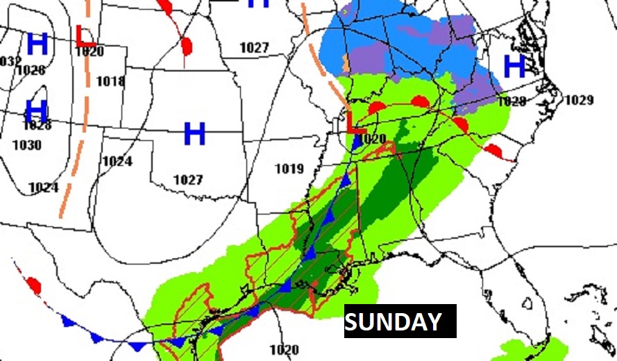
NEXT FEW DAYS: Saturday looks like a really nice day for early January. Scattered showers Sunday. Small risk of showers Monday and Tuesday. No big ticket weather next few days. Highs mostly in the 60’s. Lows mostly 40’s.

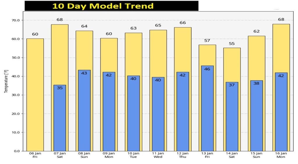
Here’s the 10 day Model Temperature Trend. The BEST news is…the Arctic Flood Gates are closed for now.
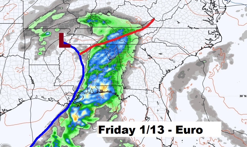
The next big deal storm system appears to be around next Friday 1/13/23.
Thanks for reading this very brief Blog update this morning! This morning we are LIVE on the radio from 6 to 9 on NewsTalk 93.1. Watch us on TV on CBS 8 and ABC 32. I’ll have another update for you in the morning. Have a nice Day!
–Rich