
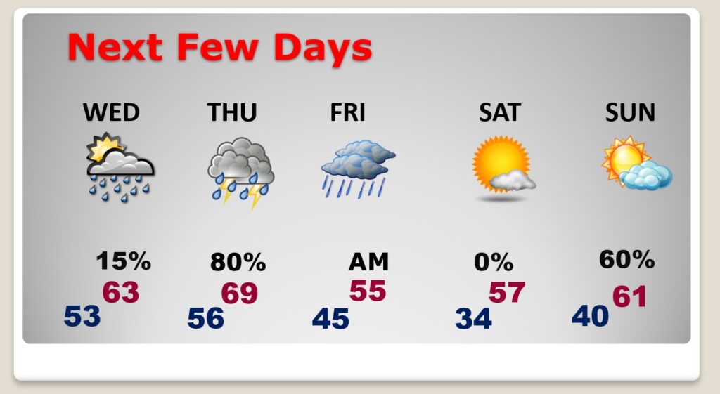
Good Morning!. At long last January finally ends today. What a month for severe weather. Alabama had a record of 29 tornadoes. It will be a relatively quiet end to January and start to February tomorrow. Temperatures will be relatively mild compared to normal. (Normal 61/37) The Best chance of rain this week will be on Thursday, and especially Thursday night. Rain and thunderstorms. Locally heavy rainfall. So far the weekend looks nice, but cooler. Here’s my brief forecast discussion.
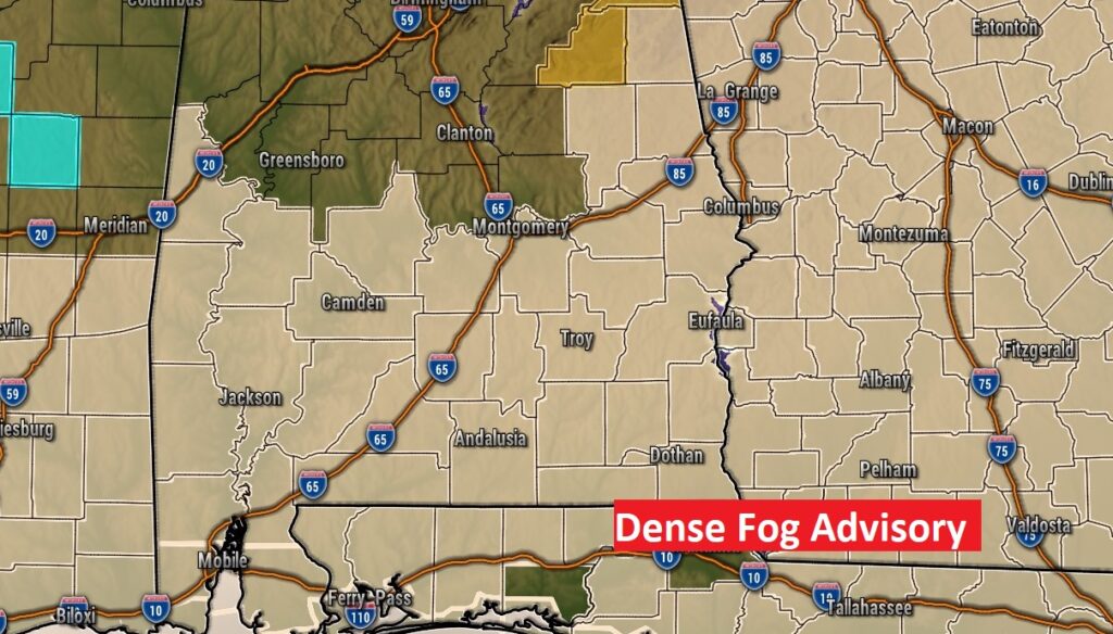
TODAY: DENSE FOG ADVISORY UNTIL 10am. Cloudy and rather mild today. High 70. Northeast wind 5 to 10 mph. Rain chance 20% or less. . The most concentrated rain will be in the early morning. Mostly cloudy tonight. Low 53.
Most of south Alabama is in a dese fog advisory.
Rain chance 20% or less today.
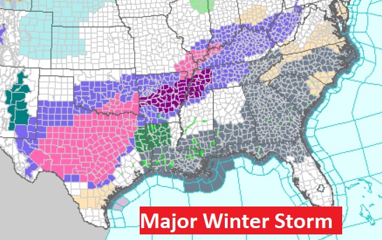
If you’re going to be traveling, be aware of a nasty winter storm well to the northwest and west of us. Numerous winter weather advisories from the Ohio valley to Texas. Winter Storm Warning for much of north central Texas. A serious Ice Storm.
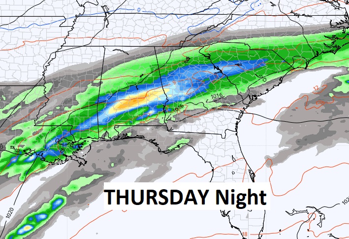
NEXT FEW DAYS: Rain chance 20% or less Wednesday. Slightly cooler. Best chance of rain will be Thursday, and especially Thursday night. . Rain and thunderstorms. Locally heavy rainfall. Cooler Friday and Saturday. The weekend looks nice, so far.
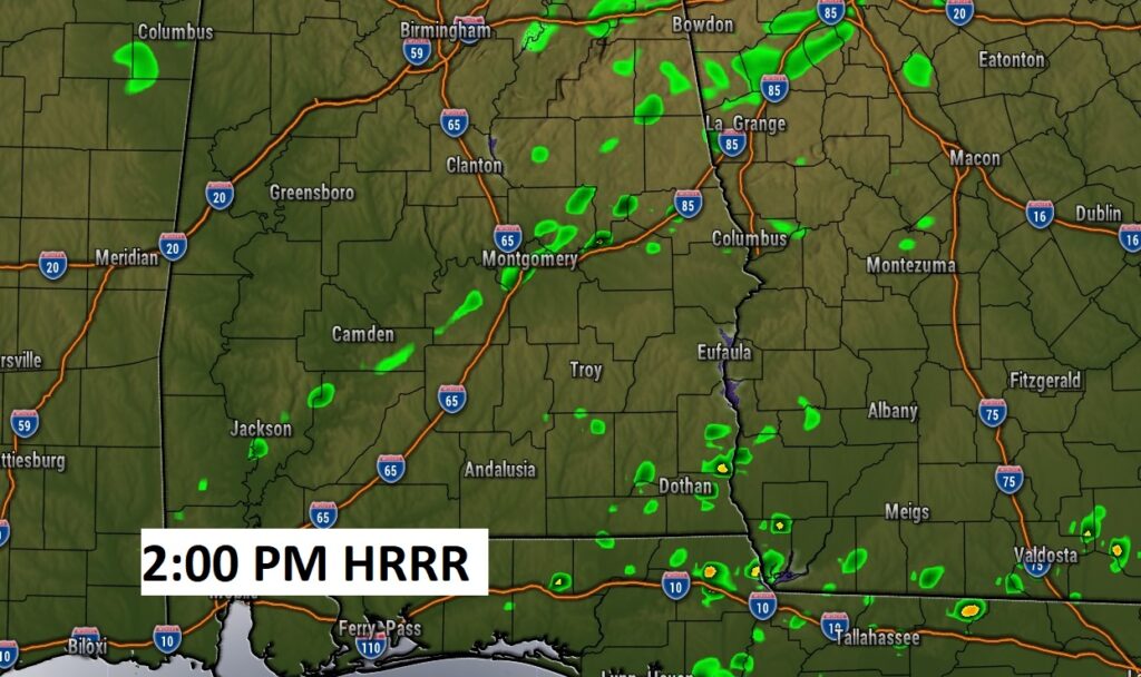
Here’s the set-up for a potentially wet and active Thursday.
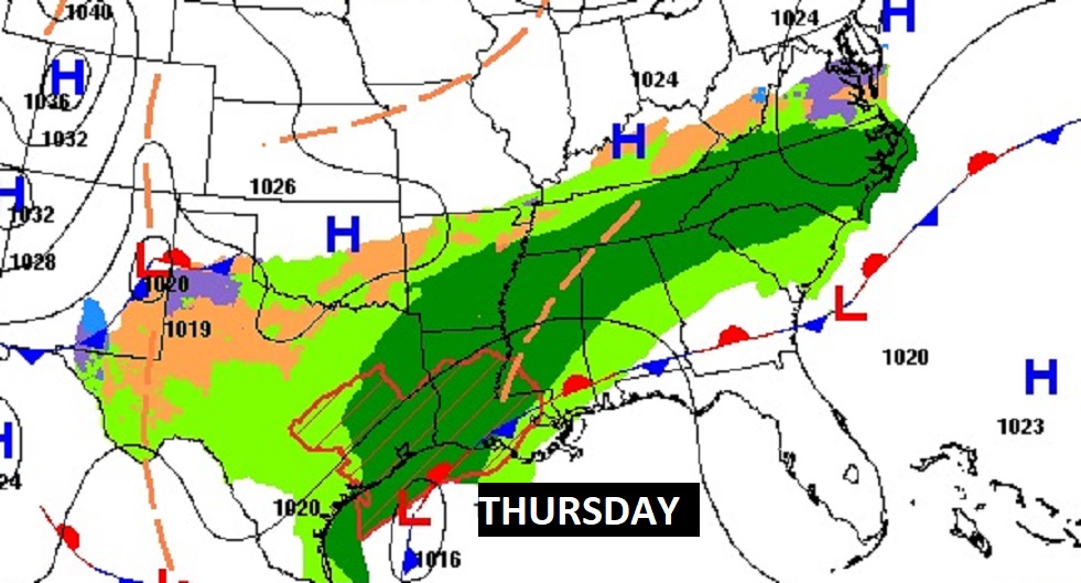
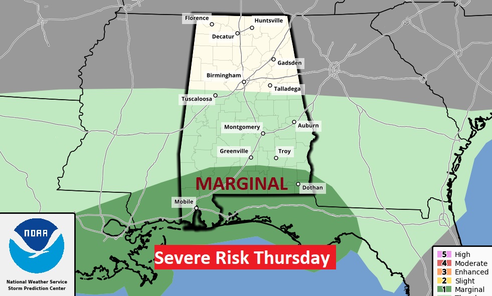
Marginal Severe Risk covers south Alabama Thursday.
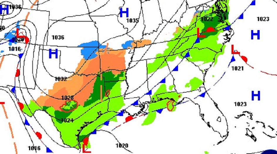
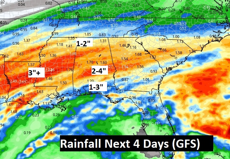
Potentially a lot of rain in the next few days. Look at the Rainfall Potential Rainfall map in the next 5 days.
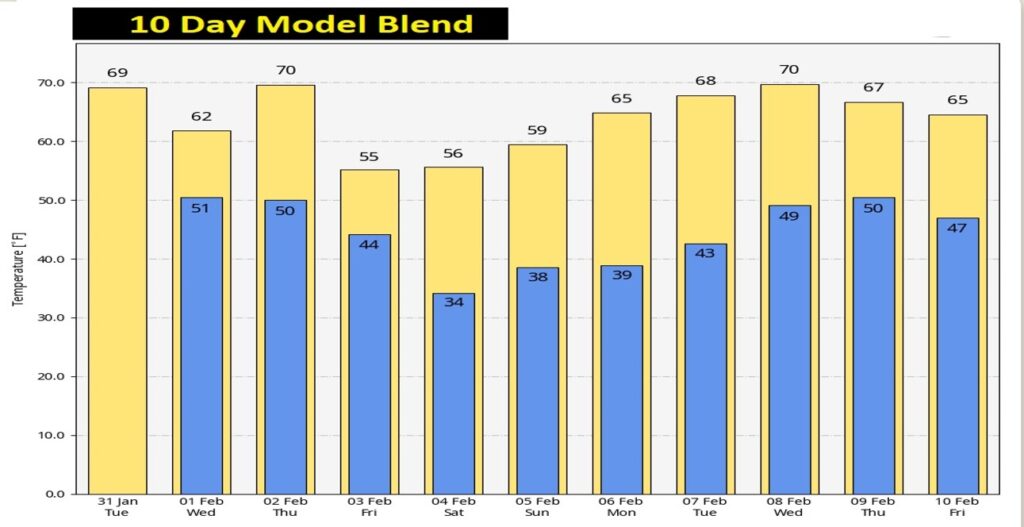
Here’s the 10 day Model temperature blend. Still don’t see any arctic air, and of course that’s good.
Thanks for reading this Blog this morning! This morning we are LIVE on the radio from 6 to 9 on NewsTalk 93.1. Watch us on TV on CBS 8 and ABC 32. I’ll have another update for you in the morning. Have a nice day!
–Rich