
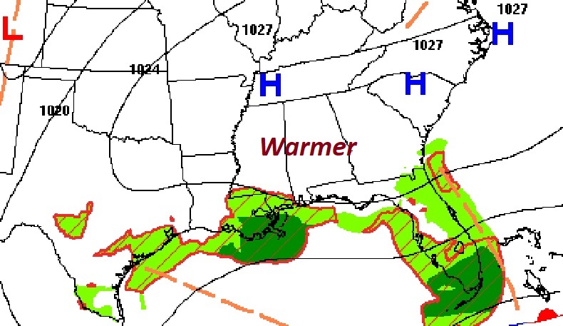
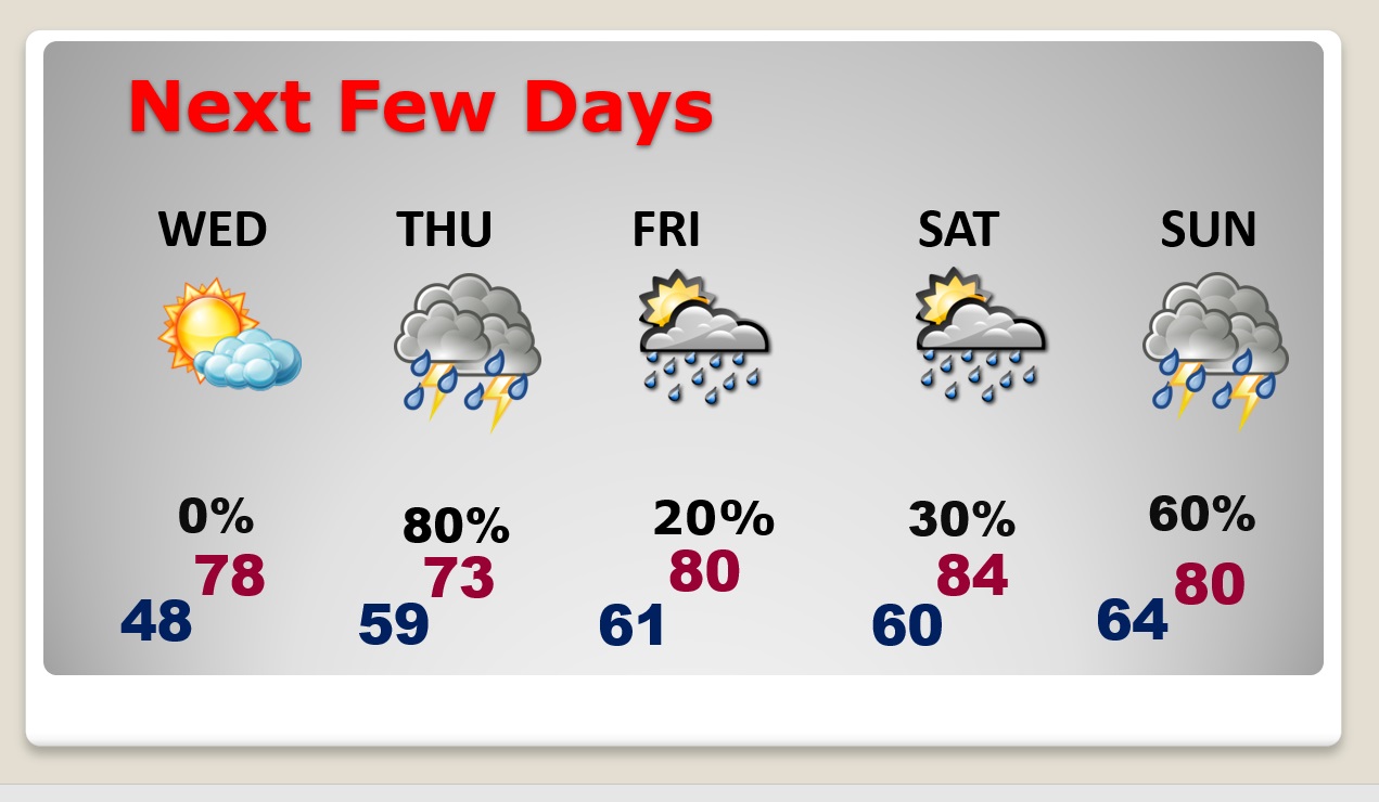
Good Morning! Our string of nice days continues. And, we have a nice warming trend underway. Today & Wednesday should be beautiful, and comfortable. Showers and thunderstorms become likely Thursday, as a Gulf low migrates northward. Widely scattered showers, but warmer Friday & Saturday, as we return to the 80’s. Another storm system is on tap Sunday, but no severe weather is expected.
TODAY: Mostly sunny. A little warmer. High near 74. East wind 6 to 15 mph. Mostly clear, chilly tonight. Low 48.
NEXT FEW DAYS: More sun Wednesday. High 78. Risk of showers by late Wednesday night. Rain and thunderstorms become likely Thursday. Warmer near the end of the week. Back to the 80’s Friday and Saturday. Widely Scattered showers. Another storm system will bring in more showers and storms on Sunday. No severe weather is expected.
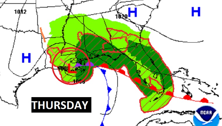
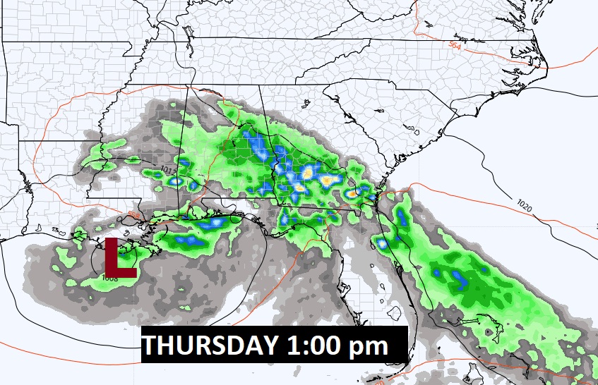
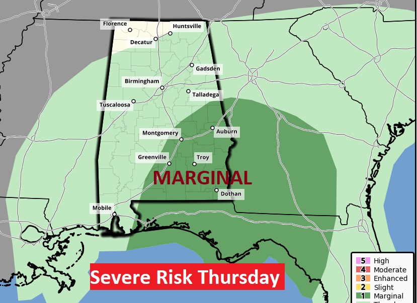
A northward moving Gulf Low will bring the rain back to Alabama on Thursday. This is a non-tropical Low.
Marginal Severe Risk for much of southeast Alabama. Damaging wind gusts are the main threat.
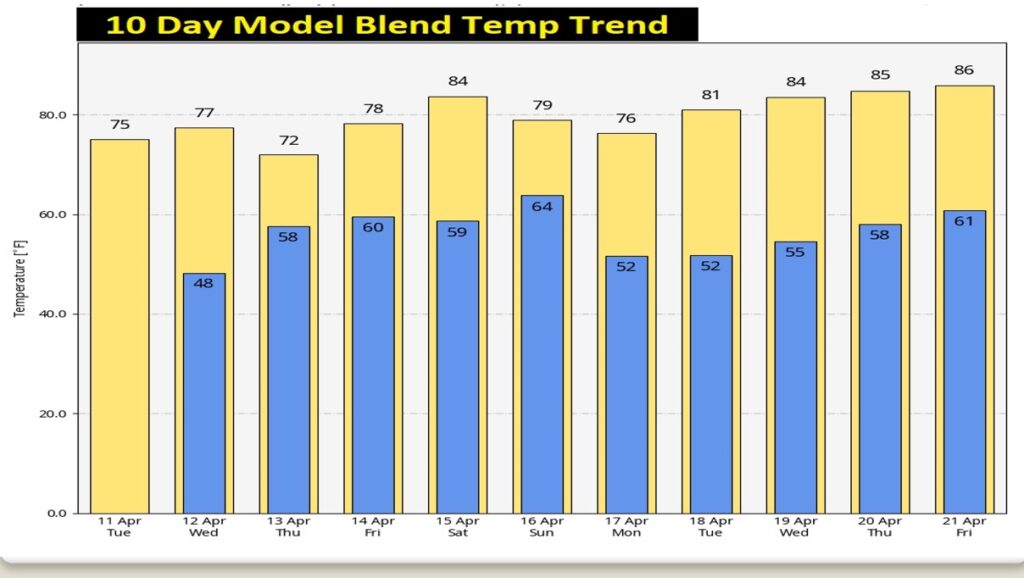
Here’s the ten-day Model Temperature Blend.
Thanks for reading this Blog this morning! I’ll have another update for you in the morning. I’m getting on an airplane this morning. I’m headed to the National Tropical Weather Conference at South Padre Island, Texas. My updates from the froad will be somewhat condensed and abbreviated. I’ll do my best to keep you up to date. Have a nice day!
–Rich