
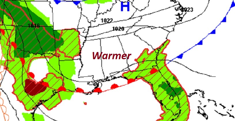
Good Morning! Today will be perhaps the nicest day of the week. Lots of sun. A warmer day. Enjoy, because changes are on the way. Get ready for some wet weather. The best chance of rain and thunderstorms will be Wednesday and Thursday. It looks like we’ll get a brief break in the action by Friday afternoon. Another front will bring another chance of rain Saturday. It will turn cooler, but nice Sunday. Here’s my brief forecast discussion.
CLIMATE DATA: Yesterday we had morning low of 55, and a afternoon high of 72. (Normal 81/55) No rain.
TODAY: Should be a nice day. Lots of sunshine. Warmer. High in the upper 70’s. Northeast wind 5 to 10 mph. Partly cloudy tonight. Low 58.
Nice today. Wet Pattern soon.
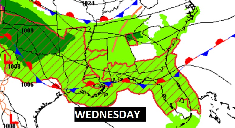
NEXT FEW DAYS: Get ready for some wet weather. The best chance of rain and thunderstorms will be Wednesday and Thursday. It looks like we’ll get a brief break in the action by Friday afternoon. Another front will bring another chance of rain Saturday. It will turn cooler, but nice Sunday.

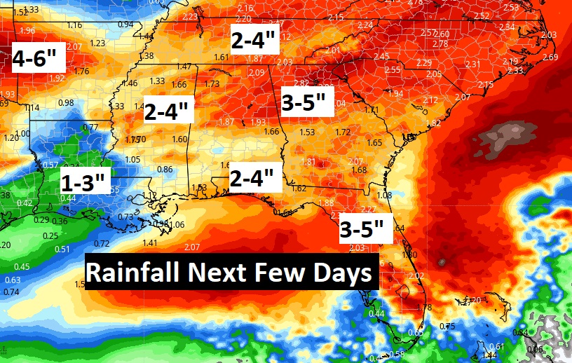
A series of storm systems will parade across the southern states.
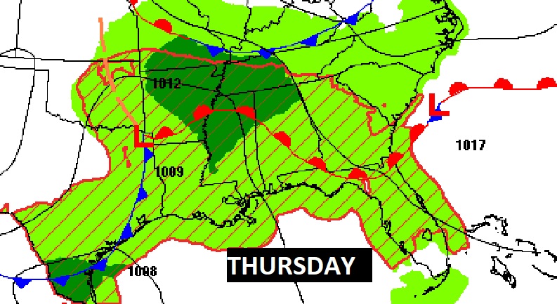
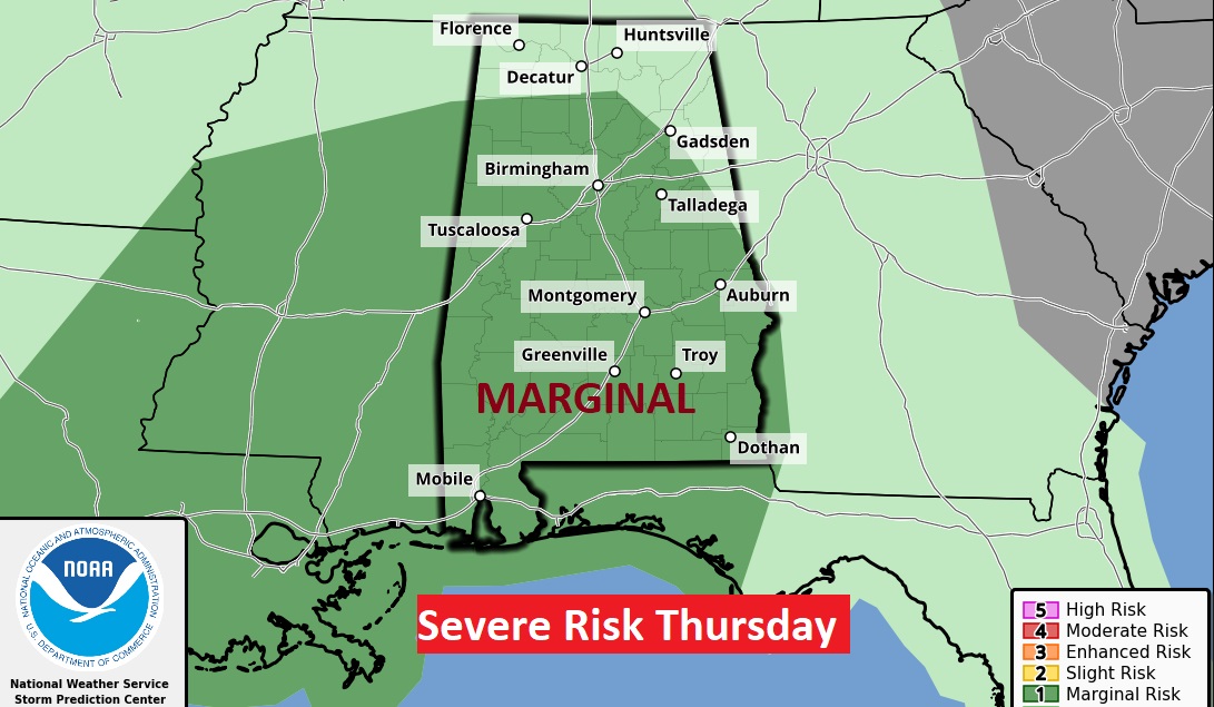
We could see some strong to severe storms Thursday. SPC has a Marginal Severe Risk for most of the state. Damaging wind gusts are the main threat. Tornado threat is low but not zero.
Wet times across the South over the next few days. Here’s the expected rainfall.
Thanks for reading this Blog this morning! I’ll have another update for you in the morning. Have a nice Sunday!
–Rich
Here’s my brief forecast discussion.
Thanks for reading this Blog this morning! This morning we are LIVE on the radio from 6 to 9 on NewsTalk 93.1. Watch us on TV on CBS 8 and ABC 32. I’ll have another update for you in the morning. Have a nice day!
–Rich