
Good morning! Radar will be quite active today. Showers and storms will become quite numerous especially by later on this afternoon and tonight. Like yesterday, some storms will be strong. There will be a few warnings here and there. Damaging wind gusts is the main threat. Locally heavy downpours. The rain chance continues on the high side Thursday. We will get a little break between disturbances on Friday, before scattered showers and storms return Saturday. The best news is, the 90+ degree heat is gone for the next several days. We’ll be in the 80’s each day. Here’s my brief forecast discussion.
CLIMATE DATA: Yesterday morning’s low was 70. Yesterday’s high was 90°. (Normal hi/lo 86/61) Airport rainfall: 0.02” East Montgomery: .31” (peak wind gust 33 mph)
TODAY: Not as hot. High in the mid 80’s. Scattered to numerous showers and storms, especially this afternoon and tonight. West wind at 5 to 10 mph. Locally heavy downpours. Low tonight 67.
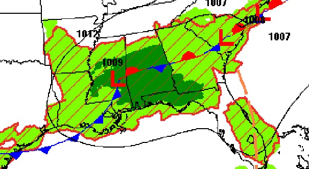
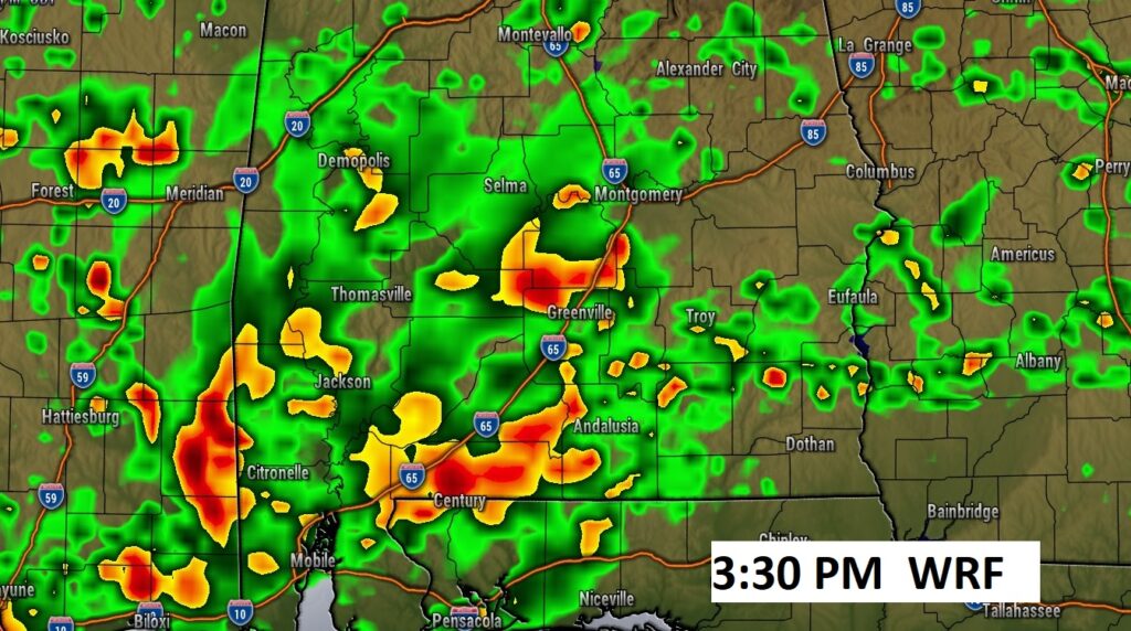
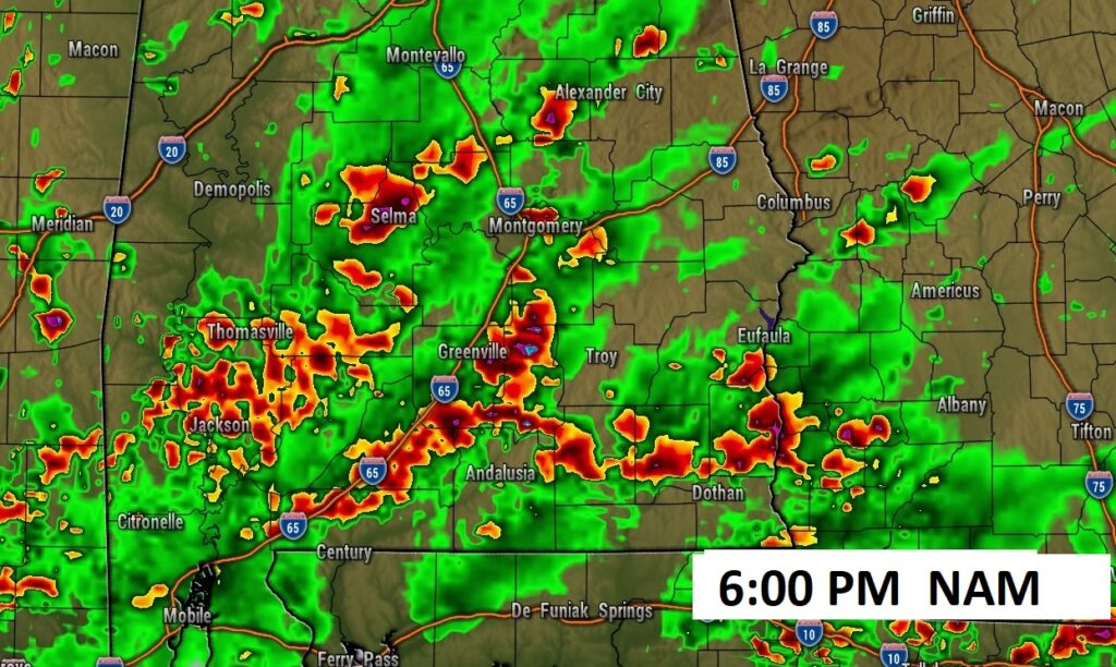
Radar will be quite active again today. All the model Future Radar examples are rather colorful.
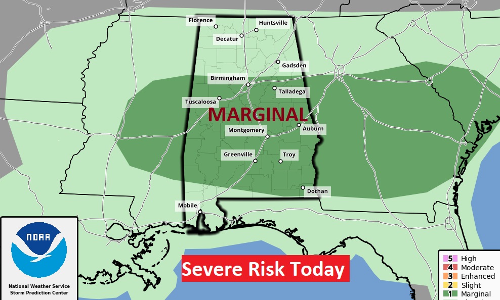
SPC has a Marginal Severe Risk covering a big chunk of the state. There were a few warnings yesterday. There will be a dew warnings toady. Damaging wind gusts are the main risk.
.
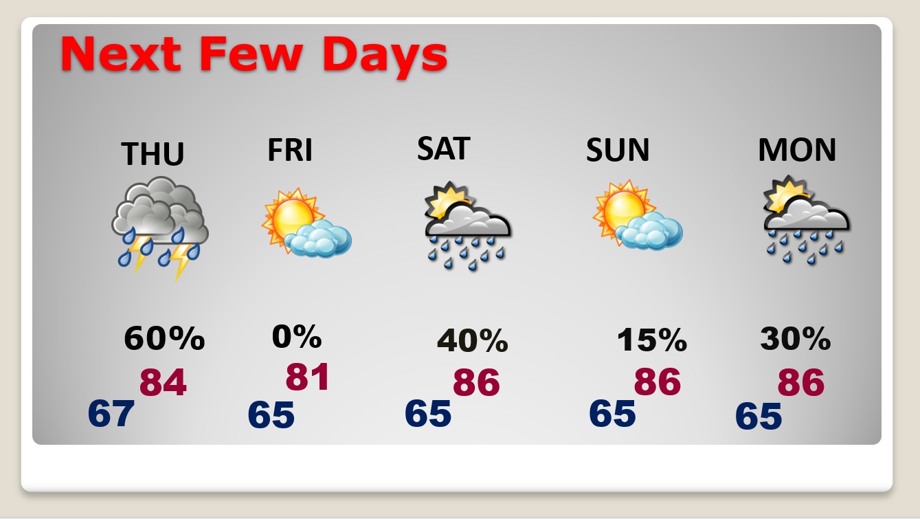
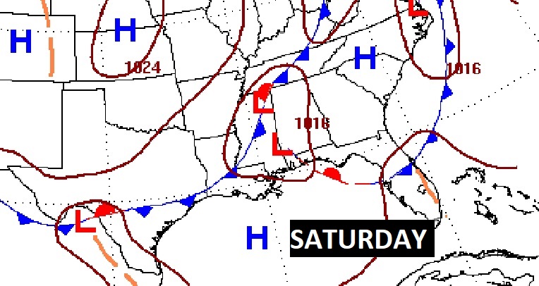
NEXT FEW DAYS: Expect scattered, random hit or miss storms Thursday. We may get a little break in between fronts Friday. Another frontal system will approach Saturday. More scattered showers and storms. Highs will fall back to the low to mid 80’s Thursday through Saturday.
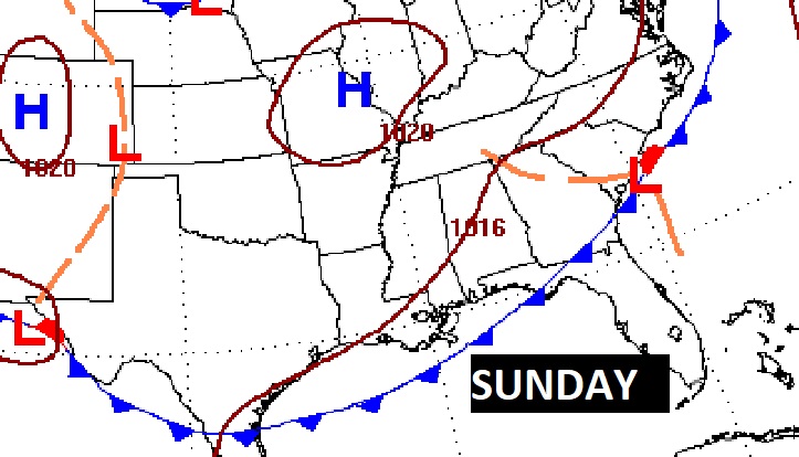
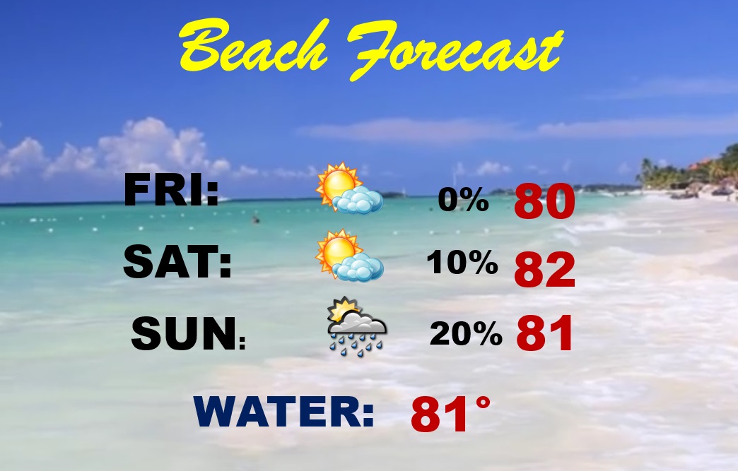
BEACH FORECAST: So far, looks like a pretty decent Beach Forecast. Mainly dry and comfortable Friday through Saturday. Widely scattered storms Sunday. Gulf water temperature 81°.
Thanks for reading this Blog this morning! This morning we are LIVE on the radio from 6 to 9 on NewsTalk 93.1. Watch us on TV on CBS 8 and ABC 32. I’ll have another update for you in the morning. Have a nice day!
–Rich