
Good morning! Get ready for another hot & humid June day. A southward moving front will be the focus for more scattered random storms. Once again today, some of the storms, south of the front, could be strong. The front should reach the coast tonight. Tomorrow & Saturday, behind the front, should be a drier. By Sunday, it’s back to business as usual, as random showers and storms return. Storms become more numerous Monday as the next front approaches. Here’s my brief forecast discussion.
CLIMATE DATA: Yesterday’s morning low was a cool 68 at MGM. Afternoon high was 92. Normal hi/lo: 91 and 68. No rain at the airport.
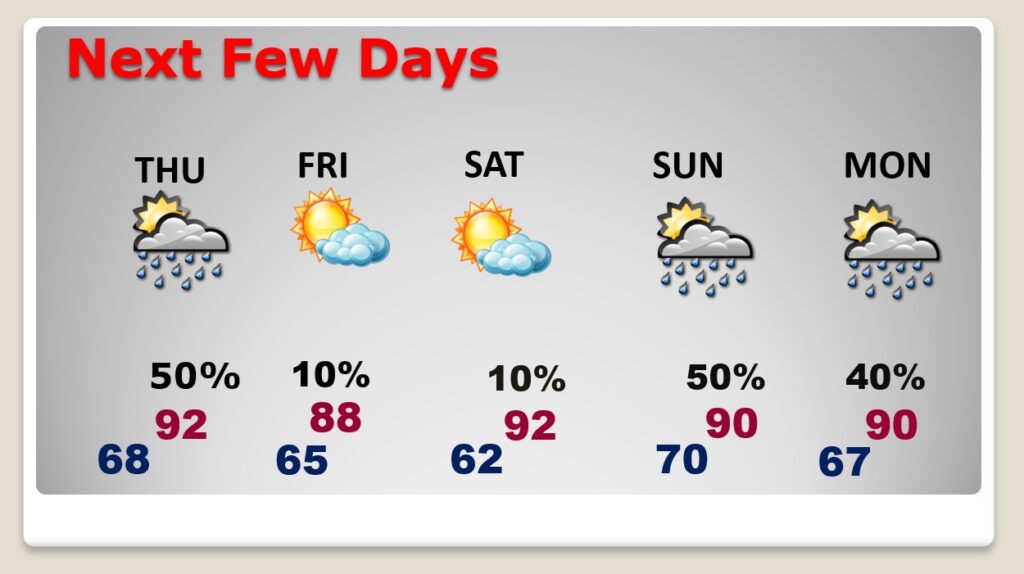
TODAY: Sun/Cloud mix. Hot again. High 93 Scattered, random showers & storms, especially afternoon & evening, fading out at night. Northwest wind 5 to 10 mph. Partly cloudy tonight. Low 66.
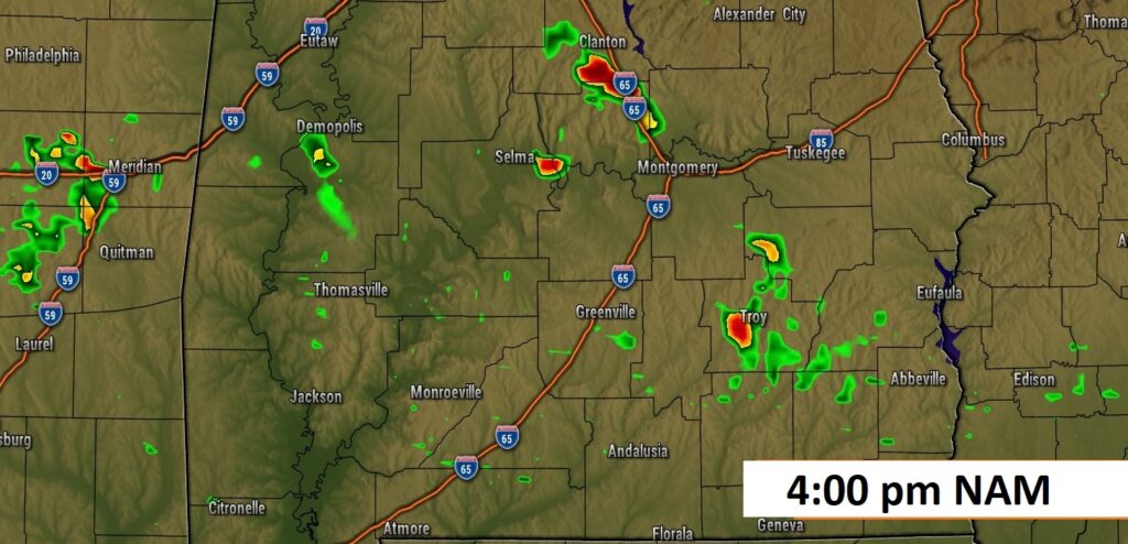
Future Radar. Once again today, some of the storms south of the front could be strong.
.
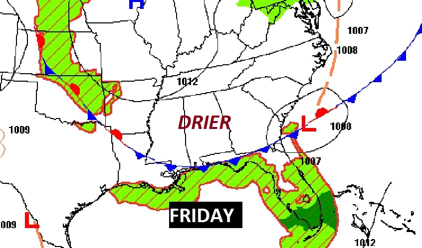
NEXT FEW DAYS: The best chance of rain Friday and Saturday will be closer to the coast. Many of us will get a brief break from storms. . By Sunday, it’s back to business as usual, as random showers and storms return. Storms become more numerous Monday as the next front approaches.

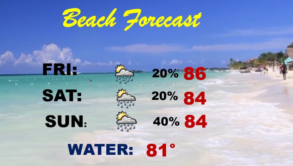
BEACH FORECAST: Small Risk of spotty storms. But, really, a pretty good Beach Weekend forecast. Highs in the 80’s.
Thanks for reading this Blog this morning! This morning we are LIVE on the radio from 6 to 9 on NewsTalk 93.1. Watch us on TV on CBS 8 and ABC 32. I’ll have another update for you in the morning. Have a nice day!
–Rich