
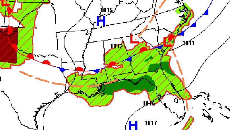
Good Morning! Early this morning, in the pre-dawn hours, radar is quite busy. A band of showers and storms is advancing southeastward ahead of a front moving through the state. Later today, the greatest threat for storms will be shifting to south Alabama, Clouds and showers will hold the temperature in the 80’s today, but the 90’s will be making a big comeback, especially mid to late week. Triple digit heat indices will be back, too. And, the number of storms on the radar will start to decrease a bit this week. More random storms, but, not as stormy as the last few days. Here’s my brief forecast discussion.
TODAY: Mostly Cloudy. There is a morning risk of showers & storms. Then, the risk of more scattered showers and storms will redevelop during the afternoon and evening. Highs will be held down to the upper 80’s. Low tonight 71.
Most of the active weather will be along and south of a southward moving front today and tonight.
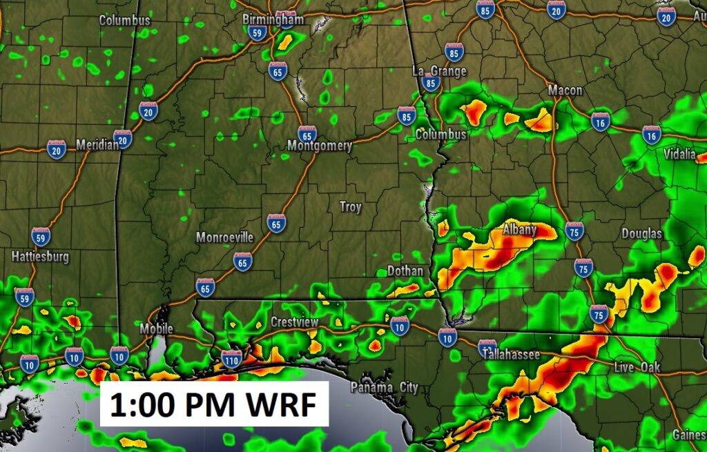
Here’s a couple of Future Radar samples. The best chance of showers and storms will be closer to the coast. Spotty storms will pop up during the afternoon.

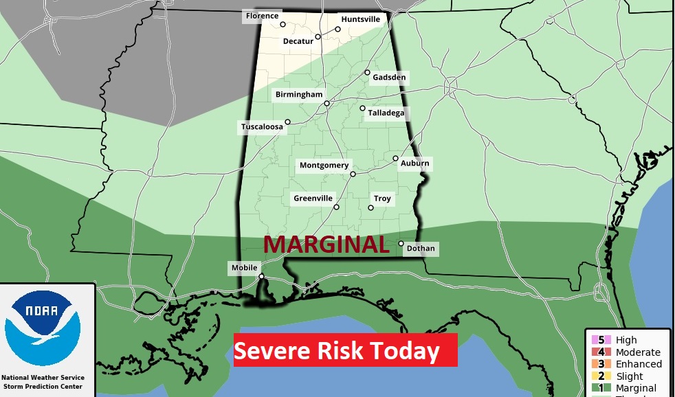
SPC has extreme south Alabama in a Level 1 Marginal severe weather risk.
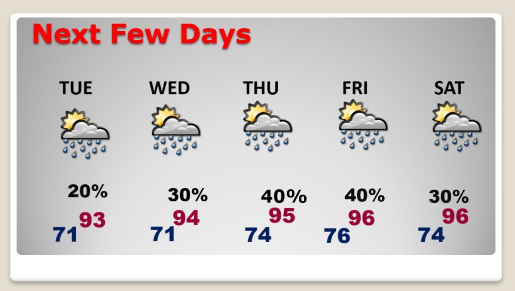
NEXT FEW DAYS: Storms will thin out just a bit Tuesday through Thursday, and temperatures will rebound. Scattered showers and storms will be most numerous in the afternoon and evening hours. Temperatures to the mid 90’s with triple digit heat indices in mid to late week.
TROPICAL UPDATE: There is one Area to Watch in the central Atlantic, but the rest of the tropics are quiet.
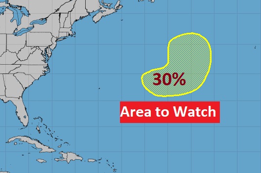

Saharan dust continues to hamper tropical development in much of the MDR…Main Development Region.

Thanks for reading this Blog this morning! This morning we are LIVE on the radio from 6 to 9 on NewsTalk 93.1. Watch us on TV on CBS 8 and ABC 32. I’ll have another update for you in the morning. Have a nice day!
–Rich