
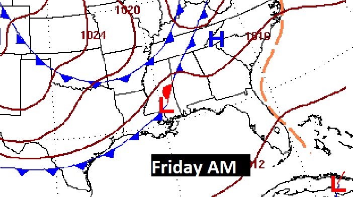
Good Morning! There’s not much new to tell you. Expect little day to day change through Thursday. Sunny, warm days. Comfortable nights. We desperately need rain. I’ve been telling you about a Friday Cool Front approaching. But, unfortunately, the rain prospects with this front are not good. I have included a tiny rain chance for now. But, this is the front which will deliver the first Real Deal Fall cool-down. Over the weekend, highs will only make the 70’s with a nice breeze. Jacket weather nights are in our future. By Sunday and Monday morning we could be in the upper 40’s. I don’t see any tropical concerns for us right now. Here’s my brief forecast discussion.
TODAY: Mostly sunny. Warm but, tolerable humidity. East breeze 5 to 10. High near 90. Mostly clear and cooler tonight. Low 61. Normals 85/61.
NEXT FEW DAYS: Our warm & dry pattern rolls on. Daily highs will be mainly in the upper 80’s. Low 60’s at night. Friday frontal system. The rainfall potential is not very good. Behind THAT front, expect to coolest air of the season, by far. Jacket weather nights are in our future. By Sunday and Monday morning we could be in the upper 40’s.

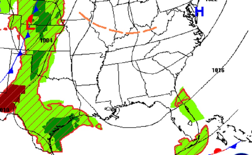
Will a late week front deliver some showers to Alabama? The rain prospects are not zero, but not great.
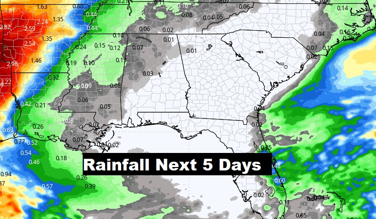
This is the Model Blend rainfall outlook through Saturday. Get out the garden hose.
The Ten Day Model Temperature Blend looks pretty exciting. Wonder if the heater in my house will kick on Sunday or Monday morning?

TROPICAL UPDATE: The only Tropical feature left on the map right now is 50 mph Tropical Storm Phillipe. “Fish storm.” The rest of the Atlantic, Caribbean and Gulf of Mexico are quite for now.

.
Thanks for reading this Blog this morning! This morning we are LIVE on the radio from 6 to 9 on NewsTalk 93.1. I’ll have another update for you in the morning. Have a nice day!
–Rich