
Good Morning! It’s the first freezing morning of the season. Some towns will end up in 20’s. While today will still be several degrees below normal, it will not be as cold as yesterday. Low to mid 60’s in most towns. (Normal high 75, low 47) We’re headed back to the mid 30’s tonight, but stand by. A warming trend is on the way. We’ll be near 70 Friday and well into the 70’s over the weekend. We’ll be close to 80 early next week. Unfortunately, it’s still very dry. We’ll be storm-free and dry for several more days. Here’s my brief forecast discussion.
TODAY: Sunshine. Not as cold as yesterday, but quite cool. High 63. East wind at 6 to 12 mph. Clear and cold tonight. Low in the middle 30’s.
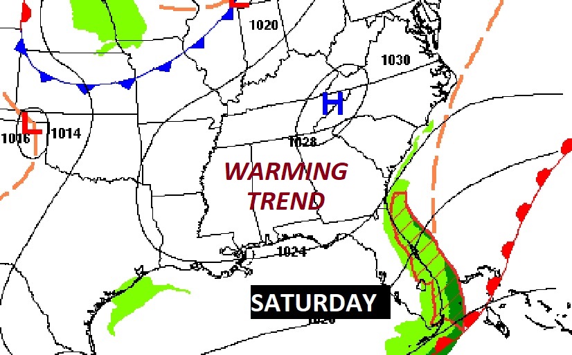
NEXT FEW DAYS: I think we’ll be near 70 Friday and well into the 70’s over the weekend. We’ll be close to 80 early next week. Unfortunately, it’s still very dry. We’ll be storm-free and dry for several more days.
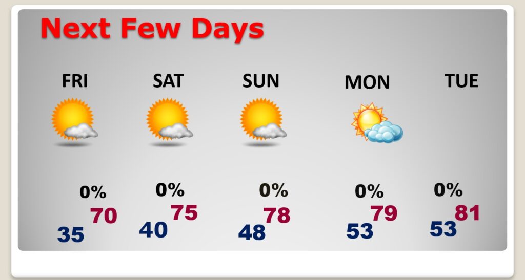
NICE weekend Warm up. After this morning, no freezing temperatures for the next 10 days.

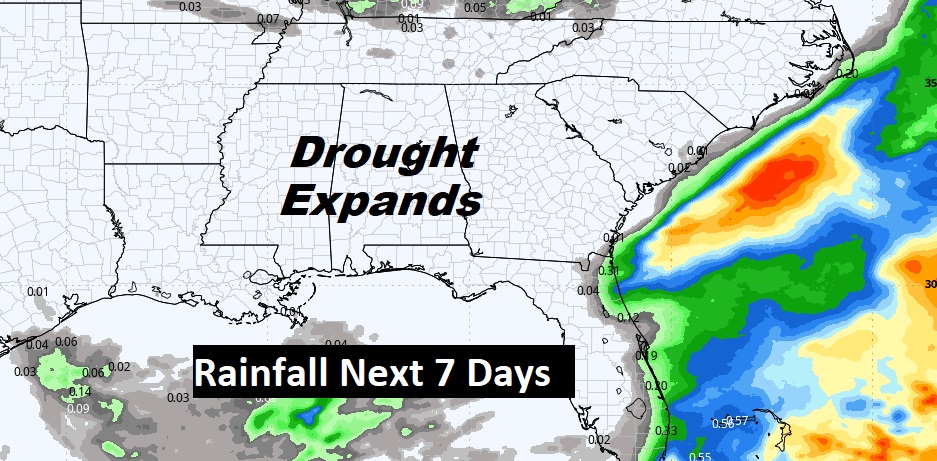
The Drought continues to expand and we’ll be High and Dry for at least the next 7 days. A new drought monitor map comes out later this morning.
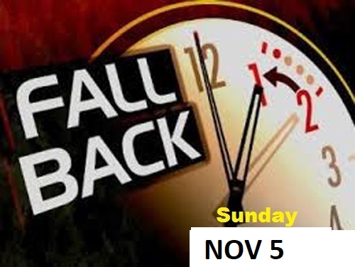
FALL BACK THIS WEEKEND: This is the weekend we Fall Back to CST. Happens officially late Saturday night, early Sunday AM at 2AM. Set your clocks back one hour.
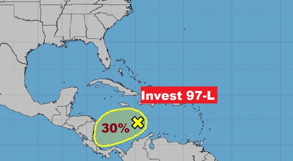
TROPICAL UPDATE: Invest 97-L, is running out of time for possible development in the Caribbean. The is a low 30% chance a tropical Depression could form before landfall on the Central American coast.
Thanks for reading this Blog this morning! This morning we are LIVE on the radio from 6 to 9 on NewsTalk 93.1. I’ll have another update for you in the morning. Have a nice day!
–Rich