
Good Morning! Temperatures will start to moderate a little bit today. We’re still below normal, but temperatures will moderate to the mid 60’s by Friday afternoon. But changes are ahead as a storm system and cold front approaches. Scattered showers and thunderstorms arrive Saturday afternoon, and become likely by Saturday night. Strong to severe storms are possible especially in West Alabama. The cool front passes out of the area before lunchtime Sunday, ending the rain threat. After the weekend storm system, look at the COLD air that funnels in. Monday looks quite chilly. Here’s my brief forecast discussion.
TODAY: Cool sunshine. High near 60. South wind at 6 to 12 mph. Partly cloudy, chilly tonight. Low 39.
NEXT FEW DAYS: Scattered showers and thunderstorms arrive Saturday afternoon, and become likely by Saturday night. The cool front passes out of the area before lunchtime Sunday, ending the rain threat.
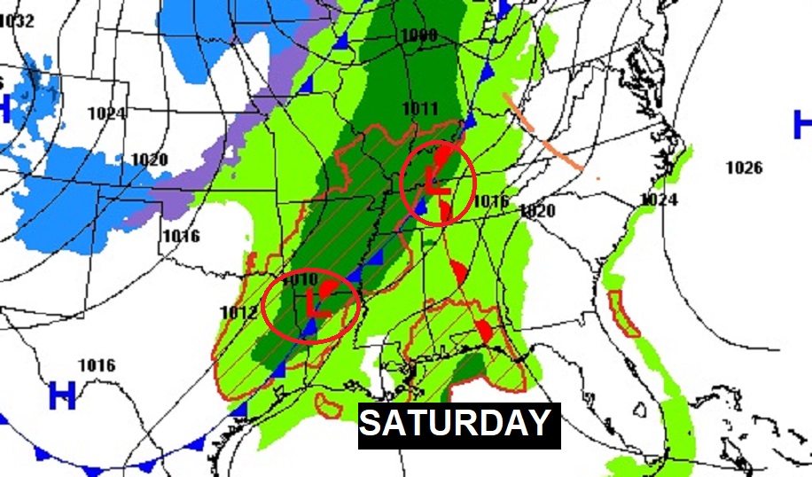
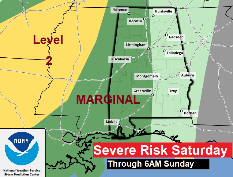
A significant storm system will affect our state this weekend. Showers and thunderstorms will move in during the afternoon. Some storms could be strong to severe, especially west of I-65. Marginal Severe Risk. The biggest risk would be Saturday night. Damaging wind gusts is the main threat. Brief tornadoes can’t be ruled out.
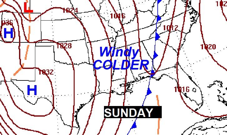
It will turn windy & colder behind the storm system.
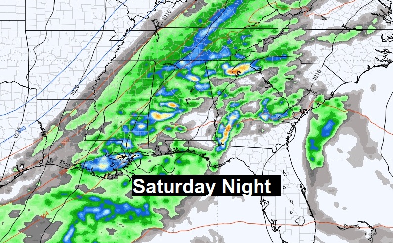
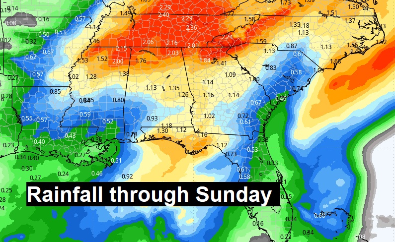
Here’s the expected rainfall through Sunday.
Here’s the 10 day model temp trend. After the weekend storm system, look at the COLD air that funnels in. Monday looks quite chilly.

Thanks for reading this Blog this morning! This morning we are LIVE on the radio from 6 to 9 on NewsTalk 93.1. I’ll have another update for you in the morning. Have a nice day!
–Rich