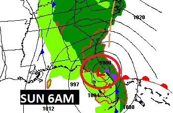
Good Morning! A powerful storm system is developing in the Gulf of Mexico. It will not only dominate our forecast this weekend, but it will be quite harsh for Florida, the Southeast coast, and up the Eastern seaboard. The risk of rain will be increasing this afternoon. Rain is likely tonight. The heaviest rain, by far will be east and southeast of Alabama. No severe weather is expected, but it will become windy. Sunday, showers taper off in the morning, with the sun returning in the afternoon. Much cooler air will follow the storm system, Monday through Wednesday. Expect a freeze Monday, Tuesday and Wednesday night. The days will be quite chilly and the nights will be cold.
CLIMATE: Friday was nice! Morning low 42. Afternoon high 66. Normal 62/39.
TODAY: Mostly cloudy. Becoming breezy. Risk of showers by afternoon, especially late afternoon. Rain likely tonight. Gusty east wind 10 to 15 gusting to 25. High 62. Low 52.
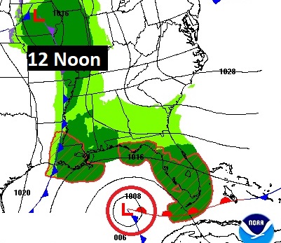
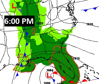
A powerful storm system is developing in the Gulf of Mexico. It will not only dominate our forecast this weekend, but it will be quite harsh over Florida, the Southeast coast and up the Eastern seaboard.
Future Radar snapshots. Showers will be widespread by late afternoon.
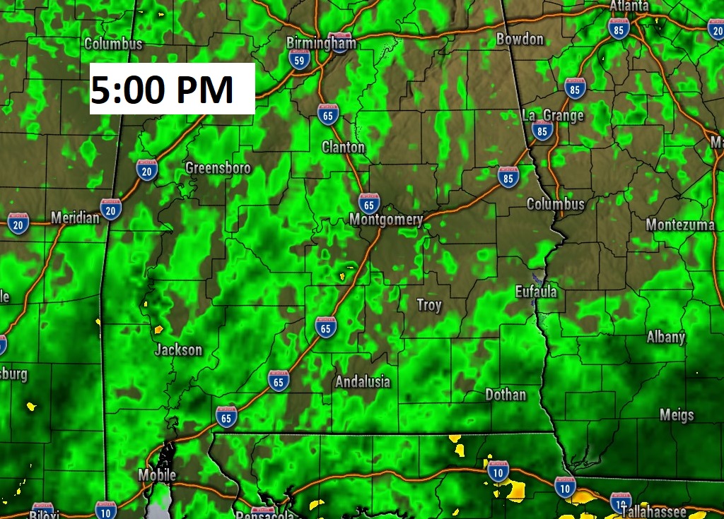
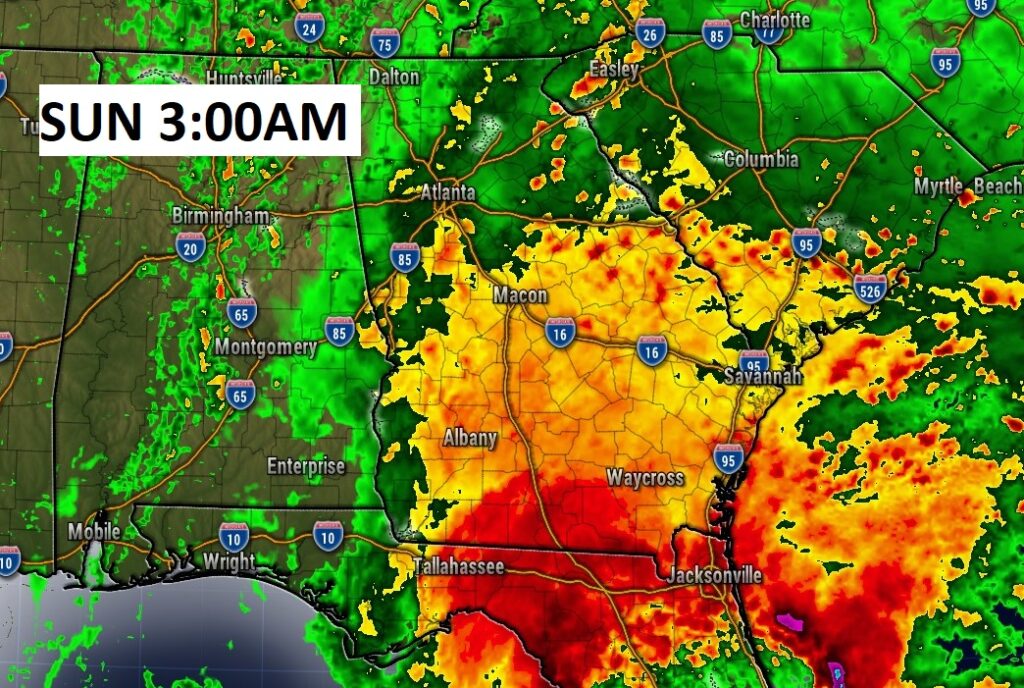
Rain is likely tonight. At 3:00 AM, much of the heaviest rain will be from I-65 Eastward.
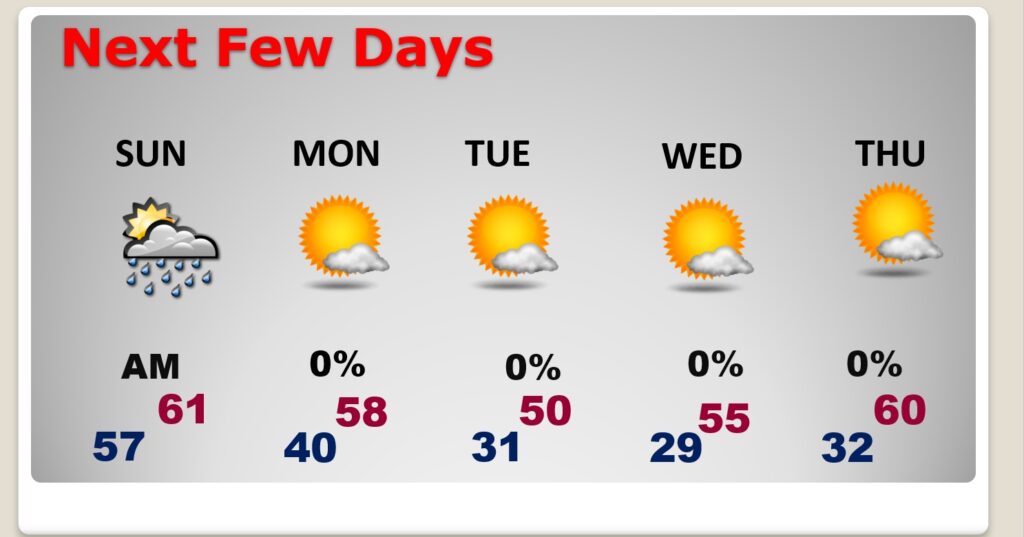
SUNDAY: Risk of showers mainly in the morning. Mostly sunny later in the afternoon. High 62. Northwest wind 7 to 15 gusting to 20 mph.
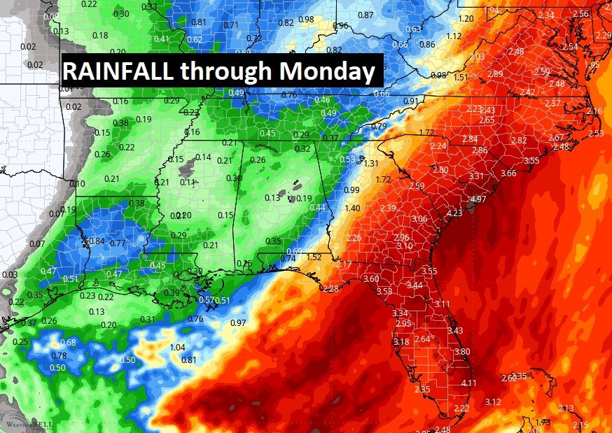
Here’s the expected rainfall. We’ll be on the western edge of the main action. Rainfall along and SE of I-85 will average 1”. The best chance of the heaviest rain will be in SE Alabama and east of the Georgia border. For most of us the highest rain chance will be Saturday night. CRAZY rainfall amounts in Florida and up the East Coast.
NEXT FEW DAYS: Much colder air will follow the storm system, Monday through Wednesday. Expect a freeze Monday, Tuesday and Wednesday night. The days will be quite chilly and the nights will be cold. Tuesday’s high will struggle to reach 50. Thursday will not be quite as cold. Storm-free and dry next week.
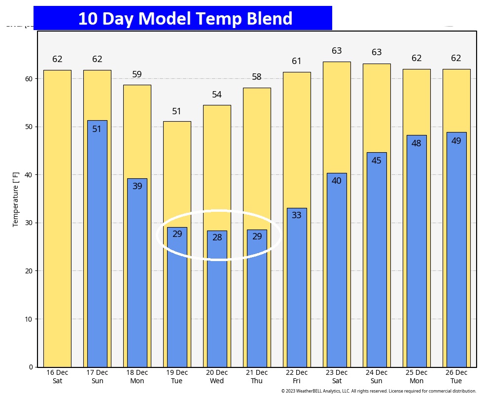
Here’s the 10 Day Model Temperature Trend that takes us through Christmas Day. Take a look at some of the morning low this week. HA! It’s going to be a shock for ME ….going from Tropical Weather back to COLD weather!
Thanks for reading this Blog this morning! My next scheduled update will be Monday morning from my couch in the United Sates.
–Rich (pictures below)
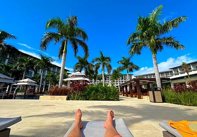
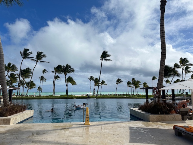
Yesterday was just a beautiful day in Punta Cana. Lots of sunshine and tropical breezes.

OH BOY! Last night was Lobster Night at a Restaurant called WAVES. Richie was thrilled! 😊

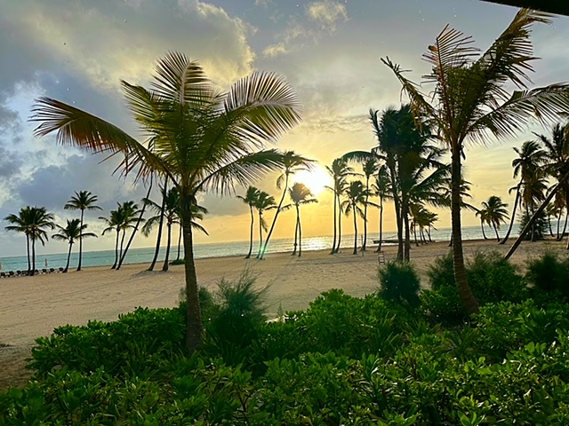
Today is my final FULL day in paradise. They have a huge water Park here that I will investigate. Largest in the Caribbean. I have a mid-summer tan. I fly back to the United States Sunday afternoon.
As Chase waits for Daddy….