
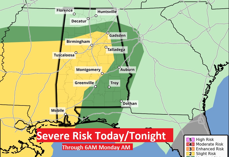
There is a potential for two waves of severe weather. The first threat increases this afternoon. Marginal Risk. Level 1 out of 5. Wave 2 will start early Monday morning. The Monday morning/mid-day threat will be more significant. Level 2 out of 5. While damaging winds will be the main threat, tornadoes are certainly possible. A stalled frontal system, with low pressure systems moving along the front will be the culprit. After lunchtime Monday, the severe threat should have left the state, if not before.
SPC has updated and expanded The Level 2 out of 5 Risk area eastward to a Gadsden/Montgomery/Greenville line. This Day 1 outlook continues until 6AM Monday morning, when the Level 2 threat extends eastward. Damaging wind gusts are the main threat. Tornadoes can’t be rued out.
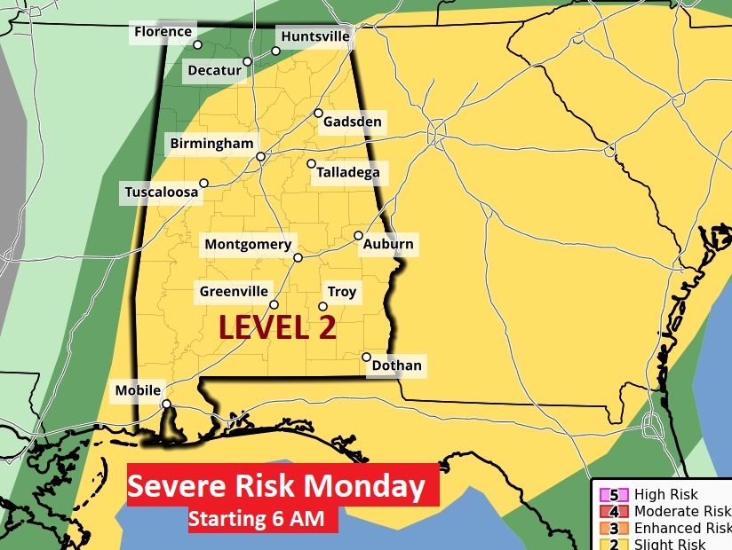
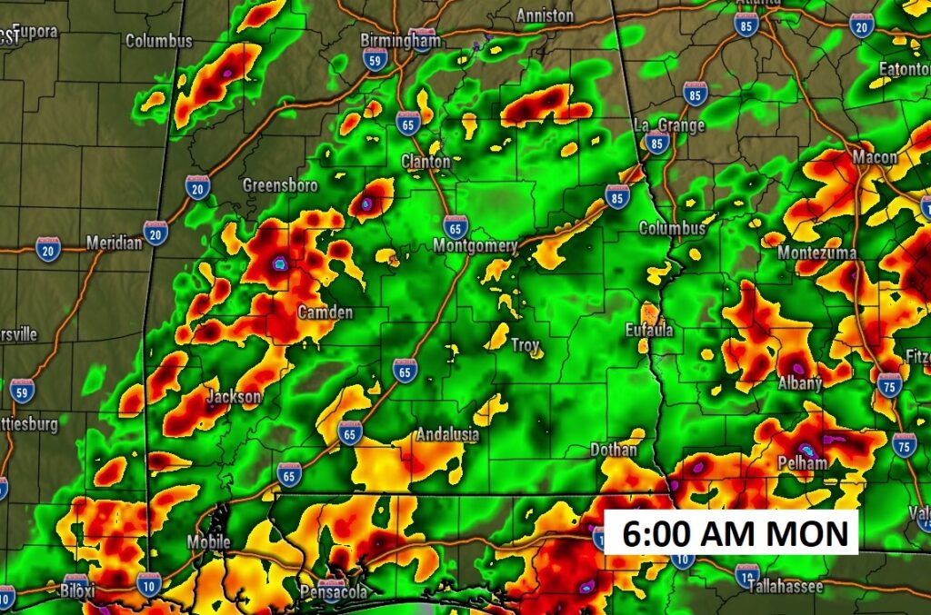
The Day Two threat begins at 6AM Monday. It includes a more substantial tornado risk. Level 2 out of 5.
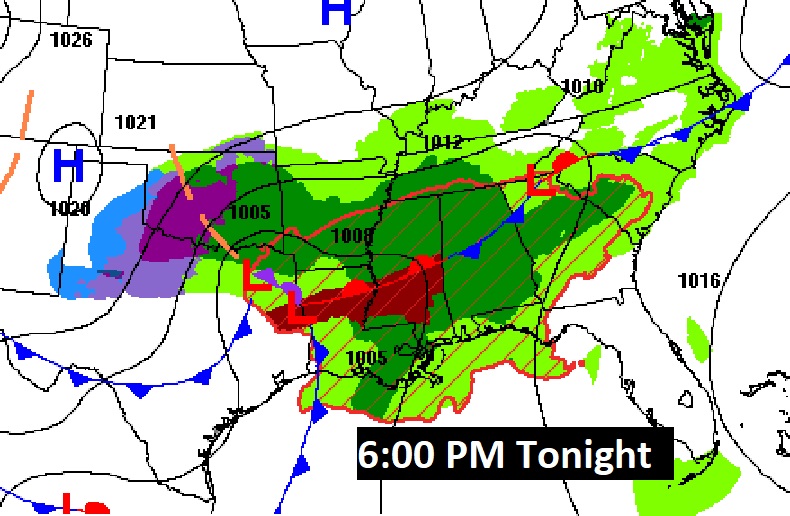
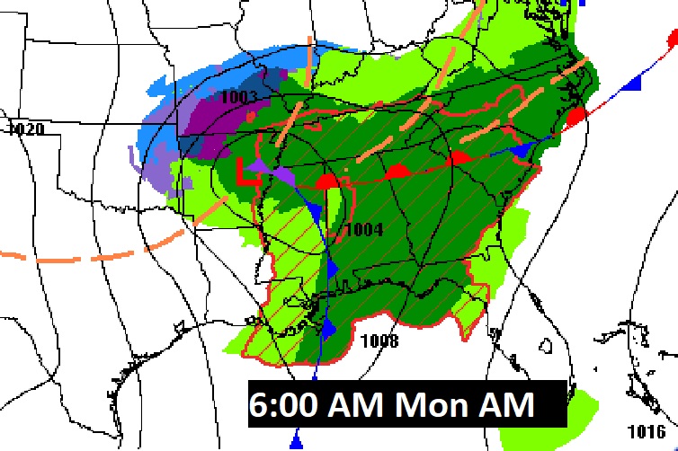
Here’s a couple of Hi-res Future Radar snapshots showing the progression of the line of strong/severe storms starting early Monday morning.

There will be a complete blog update well before Dawn Monday morning, and as needed this afternoon. Stay weather aware.
–Rich