
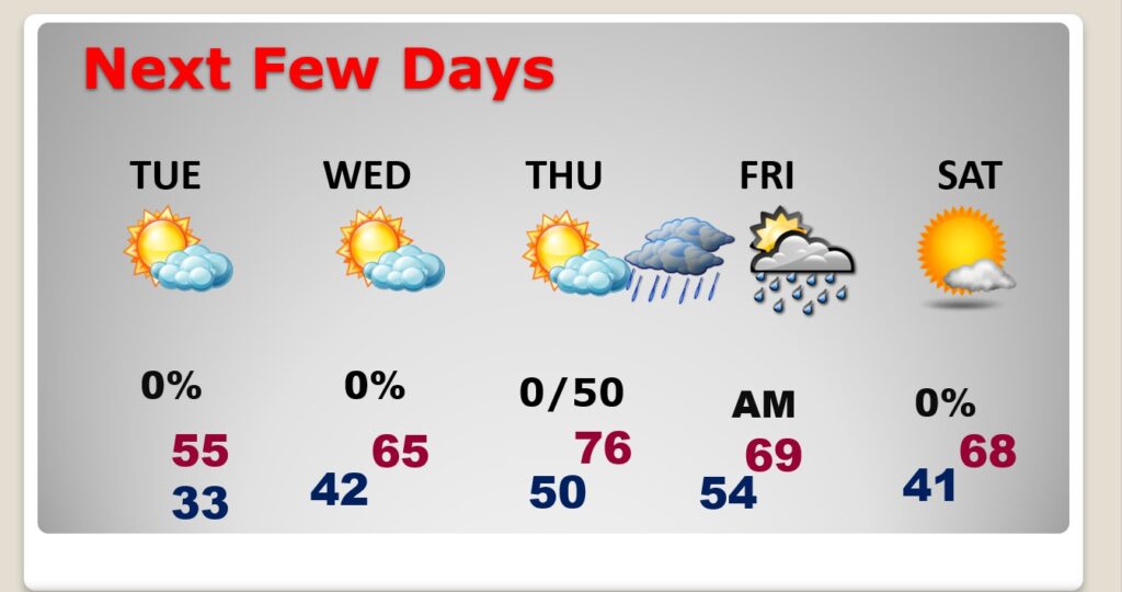
Good morning! The big weekend chill will start to retreat today. Expect a big turnaround in next few days. We’ll make the low 60’s today, and by Wednesday and Thursday will be in the 70’s. Much of the week will be dry. Showers return by late Thursday night into early Friday. Dry weather returns for the weekend. I don’t see any harsh weather over the next 10 days. Looks like another storm system will bring in more rain by the 28th. Here’s my brief forecast discussion.
.
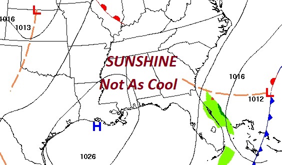
TODAY: Mostly sunny. Not as cool today. High 62. Northwest wind 5 to 10 mph. Clear and cold tonight. Low 32.
NEXT FEW DAYS: Big warming trend this week. Expect mid 60’s Tuesday, and 70’s Wednesday and Thursday. Much of the week will be dry. Showers return by late Thursday night into early Friday. Dry weather returns for the weekend.
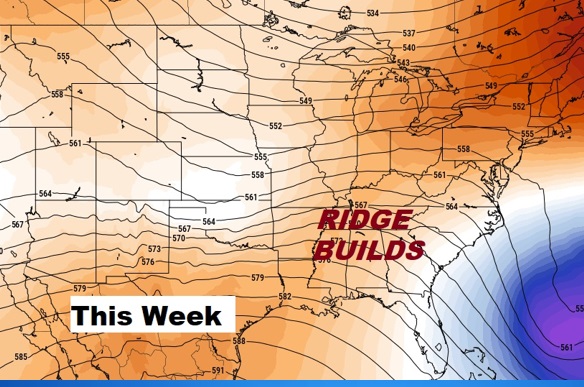
As the Weekend Cold Snap retreats, an upper ridge of high pressure will promote a big warming trend.
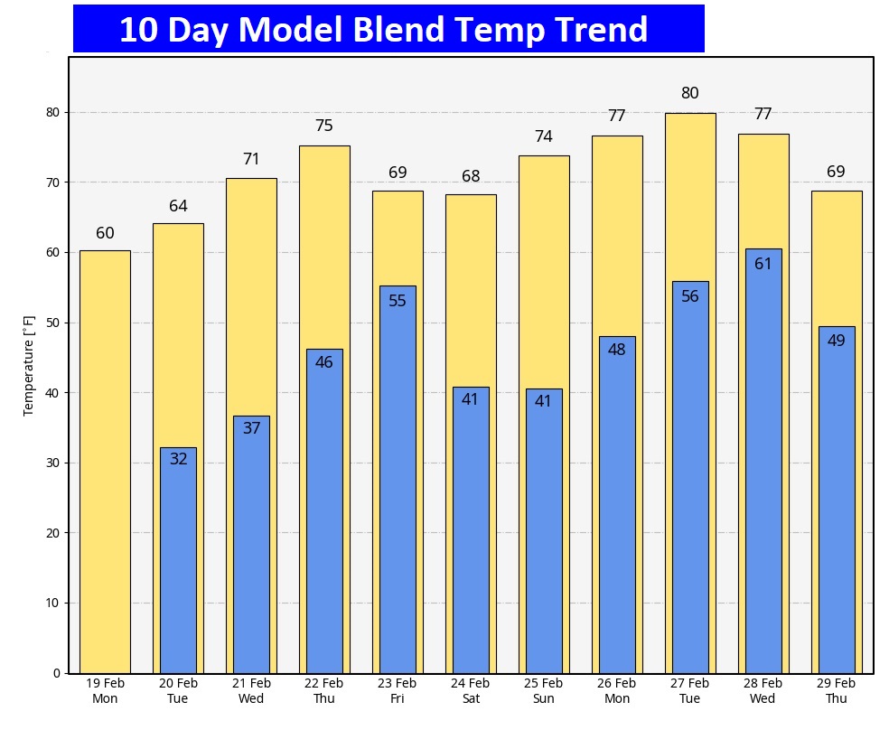
Here’s the 10 day temperature trend. Sill the Arctic Flood gates remain closed.
Not much rain this week. The better chance of accumulating rain will be in the northern counties.

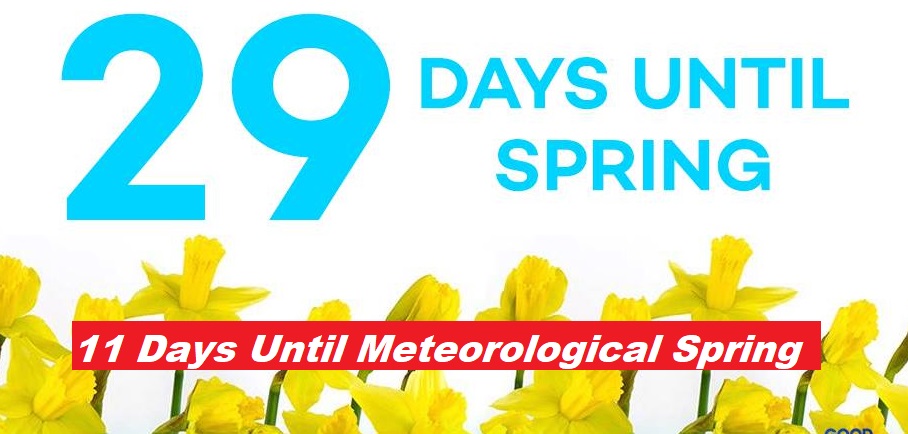
The Spring countdown continues.
Thanks for reading the blog. There will be another complete Blog update and video forecast discussion tomorrow morning. This morning, everything is normal including LIVE on the Radio from 6 to 9AM on NewsTalk 93.1 – WACV. Have a great day.
–Rich