
Good morning! Friday was awful. Yesterday’s high was only 53. Cold and wet. The second day of March will be an improvement. Today and tomorrow the rain chance will be rather low. Isolated/Widely scattered showers are possible. We’ll be back to the low 70’s today and upper 70’s by Sunday and Monday. The next significant chance of rain and thunderstorms will be on Tuesday. Excessive rainfall amounts are possible. A few stronger storms are possible.
.
TODAY: Patchy dense fog early. Cloudy today. Isolated/Widely scattered showers are possible, today and tonight. High 71. Northeast wind 6 to 12 mph. Low tonight 57.
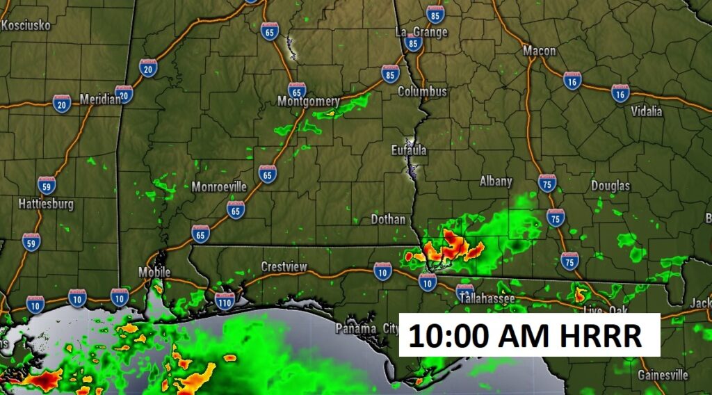
Future radar late this morning. Most of the rain will be down south. Isolated showers possible.
.
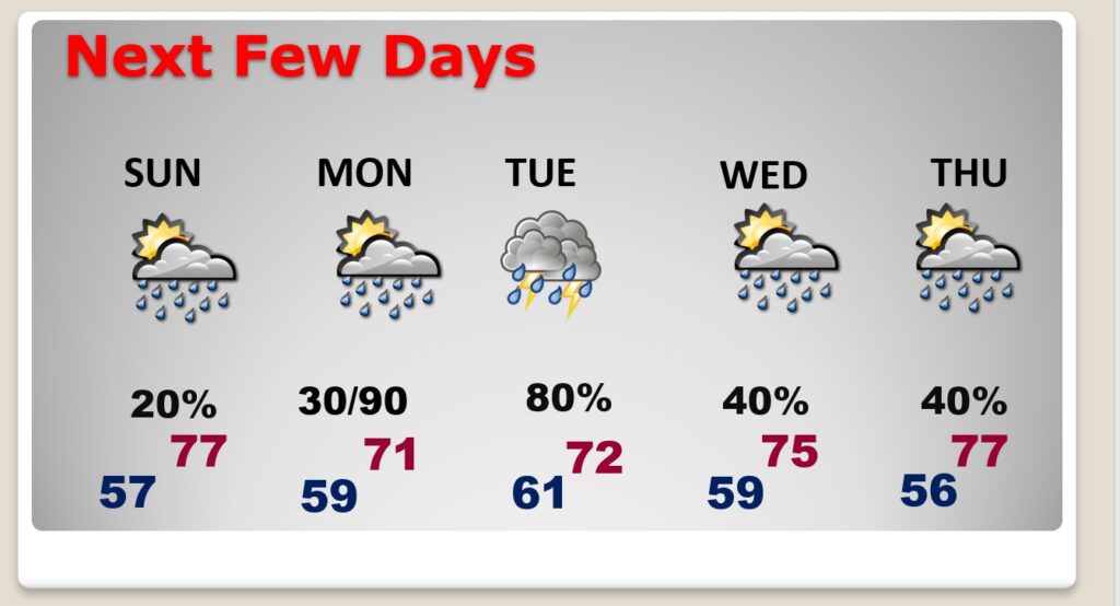
NEXT FEW DAYS: Isolated/Widely scattered showers are possible Sunday. We’ll be back to the upper 70’s on Sunday and Monday. The next significant chance of rain and thunderstorms will be on Tuesday. It’s a rather forecast through much of next week. Excessive rainfall amounts are possible.
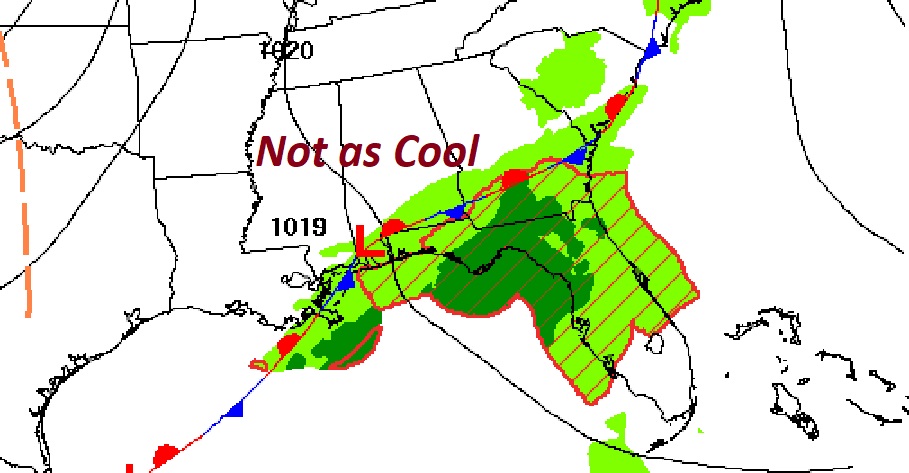
Here’s the expectedrainfall through Tuesday. Significant rainfall totals are possible.

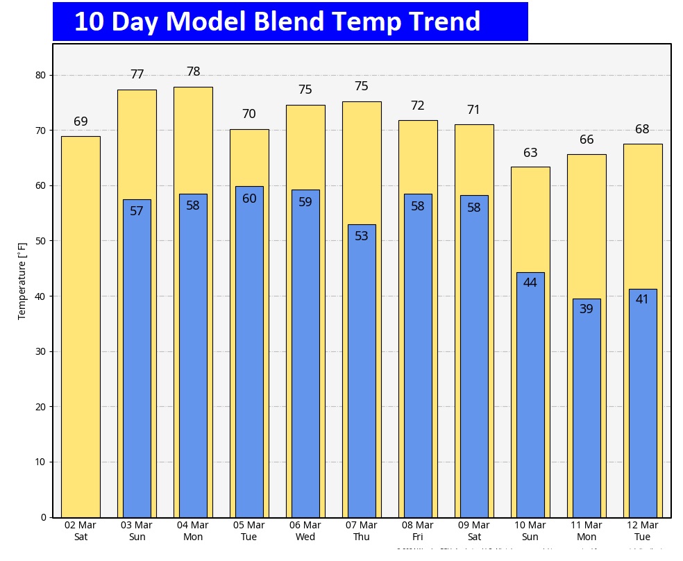
Here’s the 10 day temperature trend. Temperatures are certainly on the rebound.
Thanks for reading the Blog this morning. The next scheduled Blog update and video will be Monday morning. Have a great weekend!
–Rich