
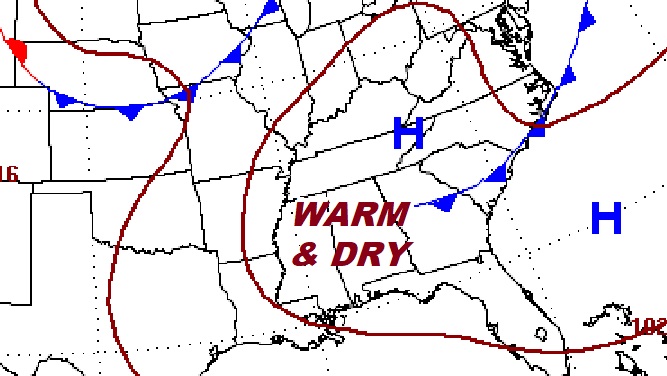
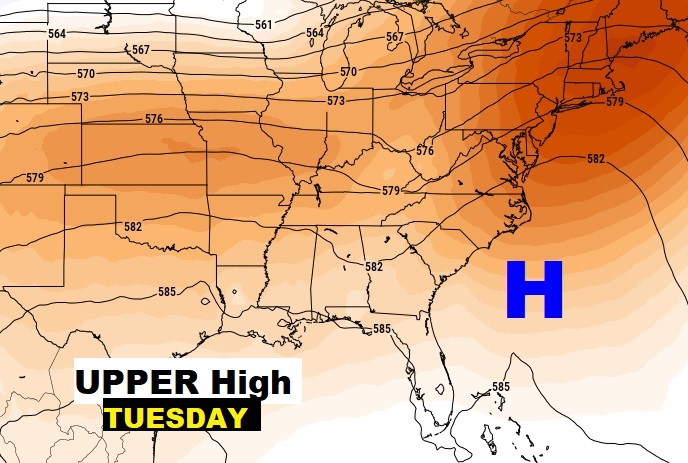
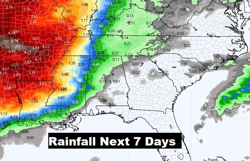
Good morning! The weather news continues to be very good. Today I have the rain chance under 20% today. And, get ready for a dry, very warm, sensational weekend forecast with daily highs in the middle 80’s, and 70’s on the coast. The next approaching front will bring showers and storms back to the forecast early next week. Right now, it looks like the front will weaken before it gets to us. An Upper High across the Southeast US will hold steady and strong. Here’s my brief forecast discussion.
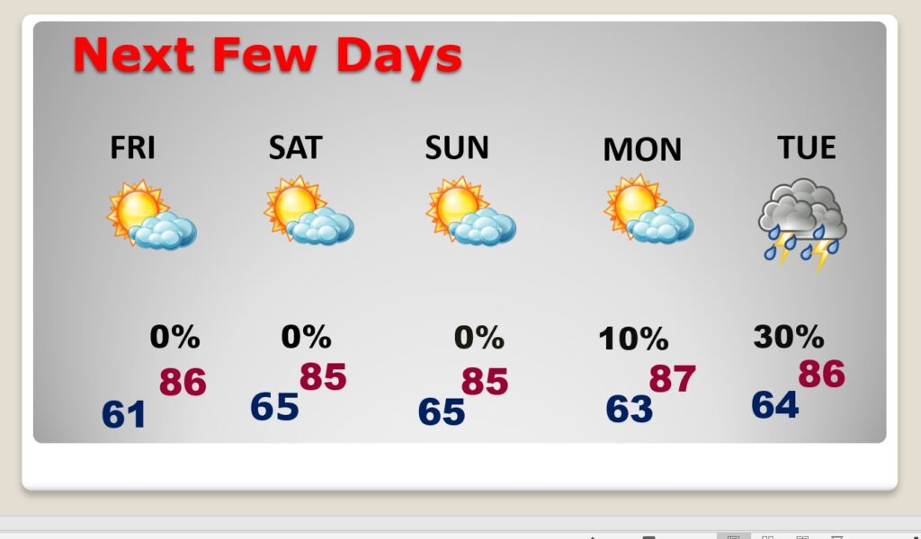
TODAY: Mostly sunny and warmer. High 85. Rain chance under 20%. Partly cloudy, not as cool tonight. Low 61. (Normal 81/54)
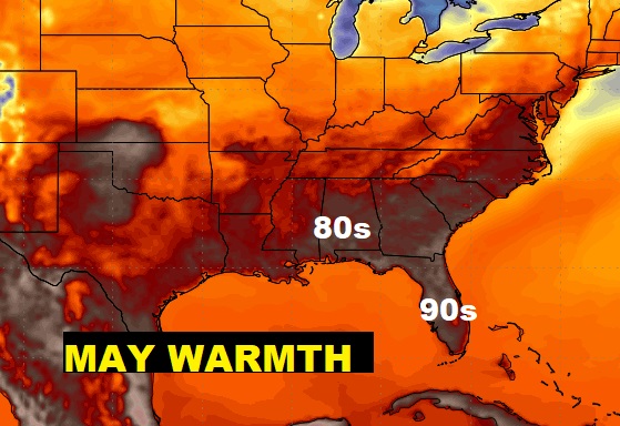
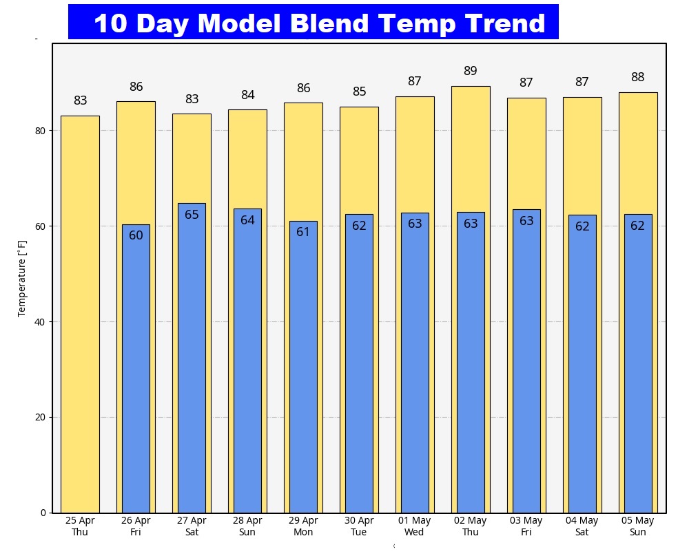
An Amazing pattern is underway. May warmth will dominate the South.
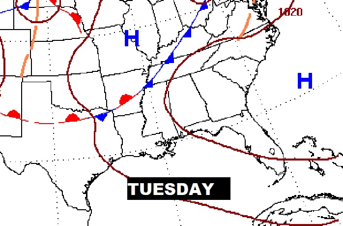
NEXT FEW DAYS: Looks like a sensational dry/storm-free weekend with lots of sunshine. Highs in the mid 80’s. Lows in the 60’s. An approaching front will bring the risk of showers and a few thunderstorms back to the forecast Tuesday. Right now, it looks like the front will weaken before it gets to us.
An Upper High across the Southeast US will hold steady and strong. That should help hold off that approaching front which will be bring such a huge Severe Threat to the plains and ArkLaTex region over the weekend.
Here’s the 10 day temperature trend. The warm pattern will continue.
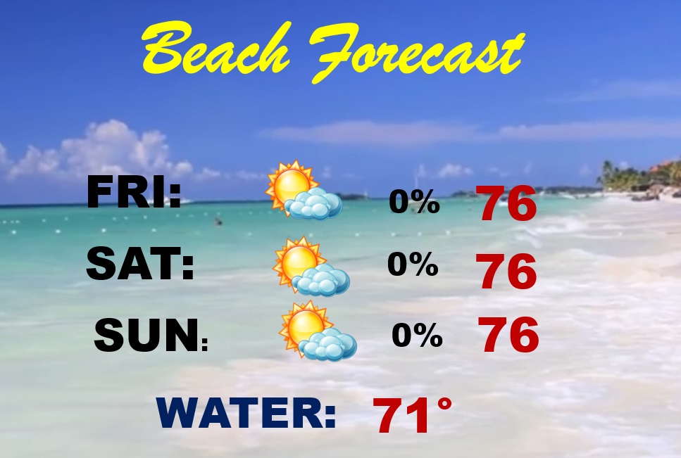
BEACH FORECAST: Great weekend Beach forecast. Plenty of sun. Comfortable temperatures. The Gulf water is still kind chilly. Moderate rip current risk Friday and HIGH Saturday and Sunday.
Thanks for reading the blog. There will be another complete Blog update and video forecast discussion tomorrow morning. This morning, everything is normal including LIVE on the Radio from 6 to 9AM on NewsTalk 93.1 – WACV. Have a nice day!
–Rich