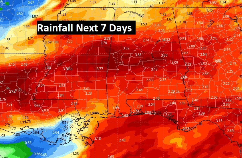
Good morning! Widespread rain early this morning will move out. Then, scattered showers and storms will redevelop this afternoon and this evening. . Some storm could be strong, possibly severe. We get a little break in the action Wednesday as sunshine returns. Expect storm system number two by Thursday night into Friday and possibly some lingering showers Saturday & Sunday. Toal rainfall amounts could be quite excessive for the week ahead. Here’s my brief forecast discussion.
TODAY: Widespread rain early this morning will move out. Then, scattered showers and storms will redevelop this afternoon and this evening. Some storm could be strong, possibly severe. High 81. Low tonight 66.

SPC’s Day 1 Severe risk. Most of us are in a Marginal Risk today, as scattered storms redevelop in the afternoon heating. Damaging winds & hail is the main threat.

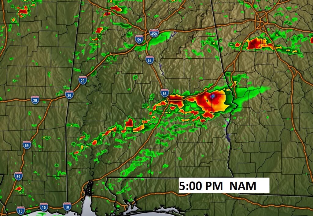
FUTURE RADAR: Here’s a late afternoon snapshot from the NAM model.

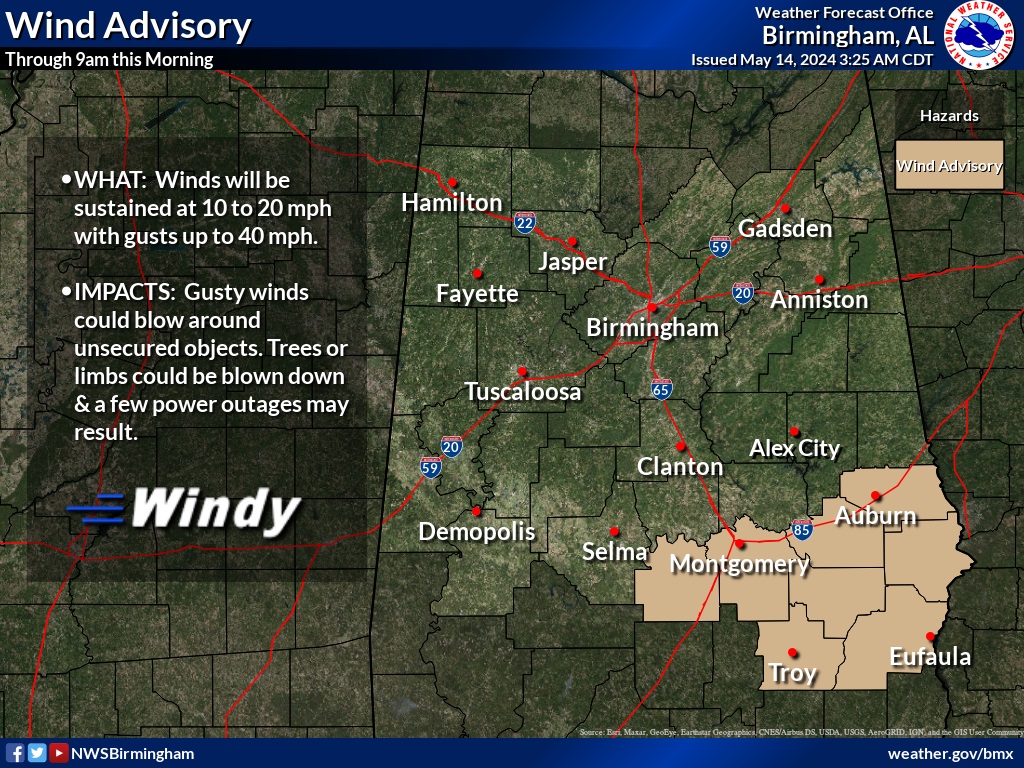
Wind advisory for some of us until 9AM.

NEXT FEW DAYS: We get a little break in the action Wednesday as sunshine returns. Expect storm system number two by Thursday night into Friday and possibly leftover showers Saturday and Sunday.

Lots of rainfall is expected with that Friday storm system. Especially between I-20 and I-85.

YESTERDAY: That rare Wake Low caused 45 mph wind gusts at Dannley Filed (MGM), 48 mph at Lake Martin, and 55 mph at Troy. Pretty interesting.
.
Thanks for reading the blog. There will be another complete Blog update and video forecast discussion tomorrow morning. This morning, everything is normal including LIVE on the Radio from 6 to 9AM on NewsTalk 93.1 – WACV. Have a nice day!
–Rich
