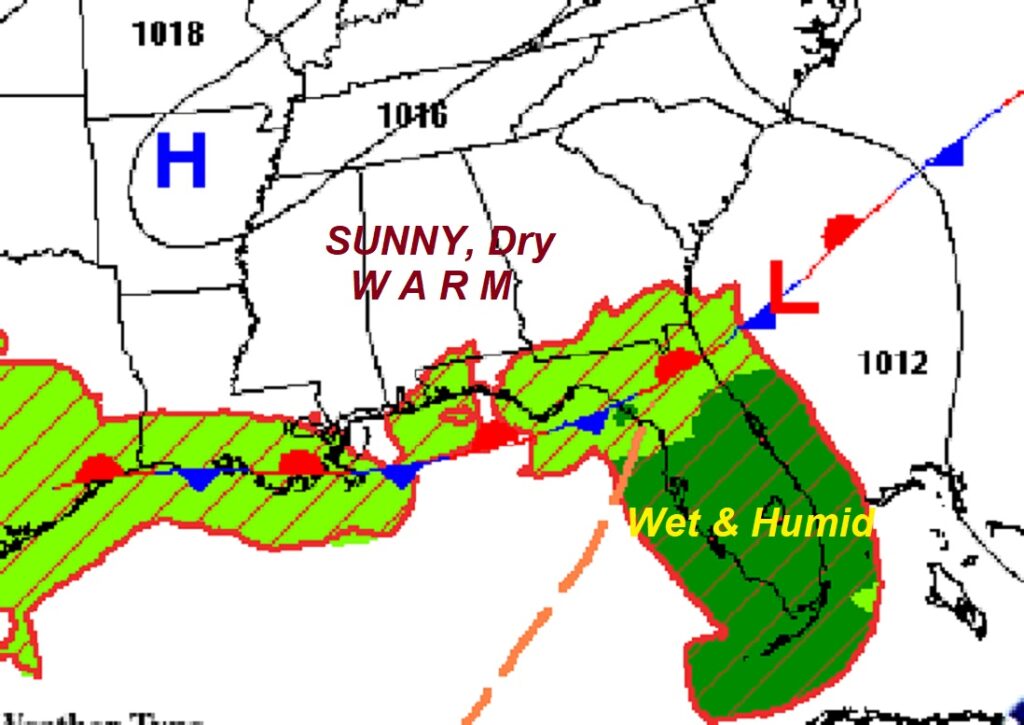
Good Morning! I’m At the AMS Broadcast Weather Conference in Myrtle Beach through the end of the week, so allow me to be brief. Alabama is getting hotter. While today we are headed for the lower 90’s, with tolerable humidity. It looks like we’ll be in the middle 90’s tomorrow, and upper 90’s Friday through Sunday. Much more humid by the weekend. Our forecast is dry for now. It may be Sunday before random widely scattered afternoon and evening storms return. Meanwhile, NHC is now tracking Invest 90-L, which will cross Florida today and then heads toward the Atlantic. Also we’re watching the southwest Gulf for possible future development. Here’s my brief forecast Discussion.
TODAY: Mostly sunny and hot, but with tolerable humidity. High in the lower 90’s. Light wind. Mainly clear tonight. Low 67.
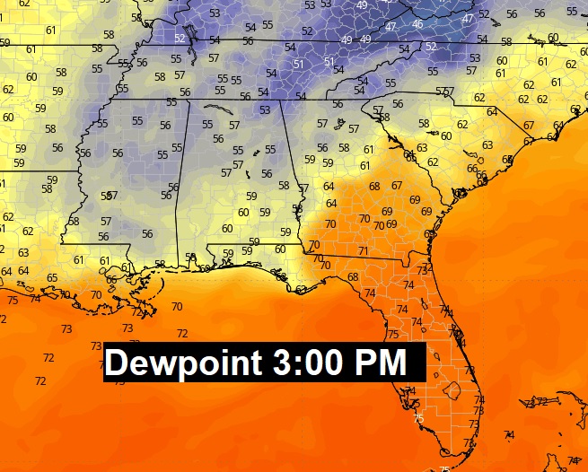
Afternoon dewpoints……NOT BAD!!
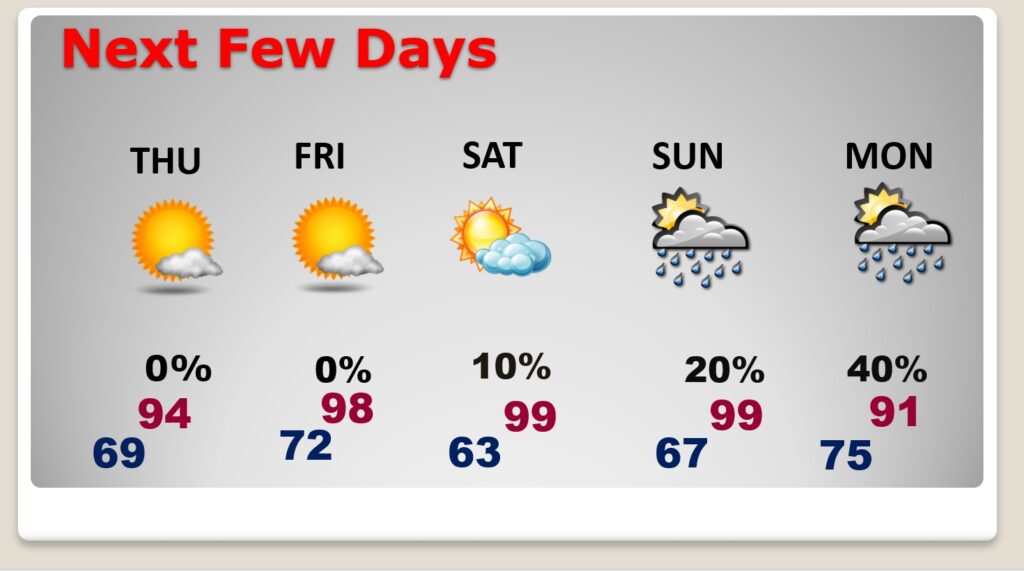
NEXT FEW DAYS: Alabama will be getting hotter. It looks like we’ll be in the middle 90’s tomorrow and upper 90’s by Friday and Saturday. Saturday. Our forecast is dry for now. The daily rain chance through Saturday, while not zero, should be under 20%. It may be Sunday before random widely scattered afternoon and evening storms return. Better chance Monday.
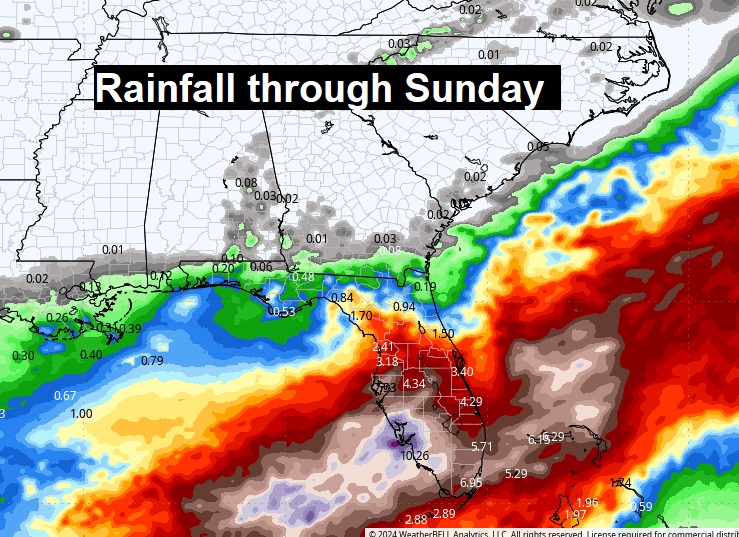
Expected rainfall through Sunday. My gosh! Look at Florida.
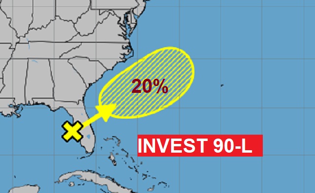
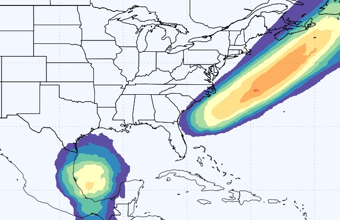
TROPICAL: NHC is now tracking Invest 90-L, which will cross Florida today and then heads toward the Atlantic. Also, we’re watching the southwest Gulf for possible future development. Right now, it appears this activity will be confined to the western Gulf. Here’s the EURO model
Tropical storm Probability days through day 10. Very interesting. First two names are Alberto and Beryl.
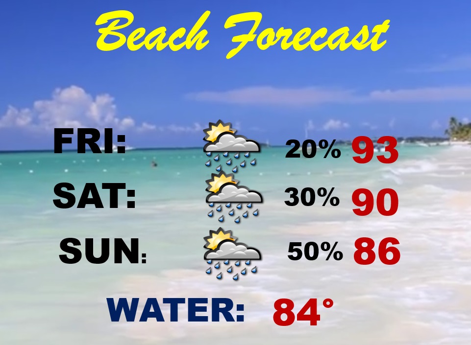
BEACH FORECAST:
Thanks for reading the blog. I’m at the American Meteorological Broadcast Conference in Myrtle Beach for the rest the week. A few snapshots.
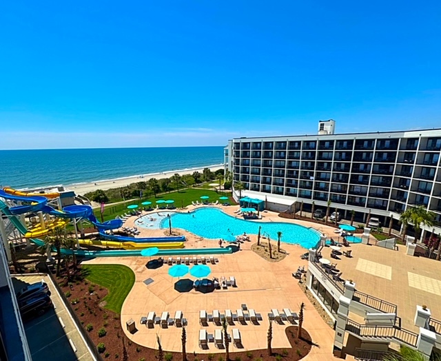

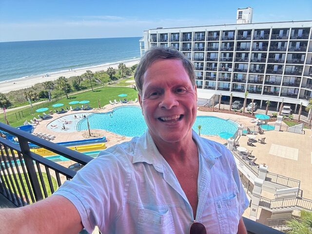
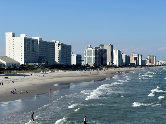
Business officially starts at 8:30 AM here at the 51st ANS Broadcast Conference in Myrtle Beach. But, how about a sunrise walk on the beach?
My updates from the next few mornings will come from Myrtle Beach.
–Rich
