
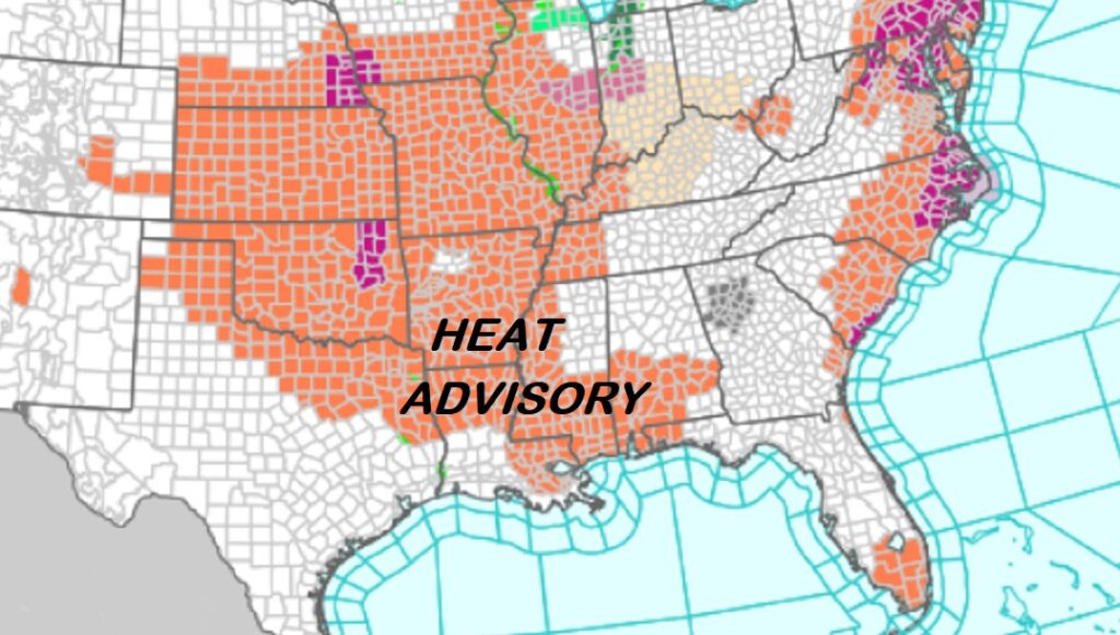
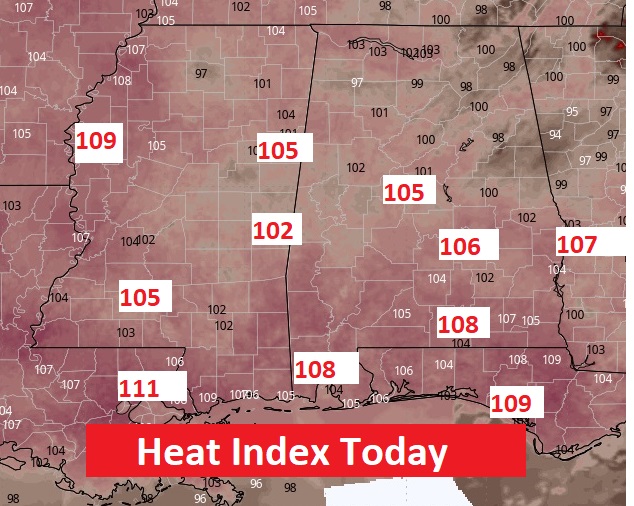
Good Morning! The big weather story for the first half of this week will be the HEAT. A Heat Advisory is in effect today. Actual highs will reach the upper 90’s to near 100. The Heat Index will be near or above the 105 Danger Level. This week, the best rain probabilities will be Wednesday through Saturday. Showers and storms will become much more numerous, thanks to a frontal system that will approach the state and then stall right over the state, Thursday through the weekend. Here’s my brief forecast discussion.
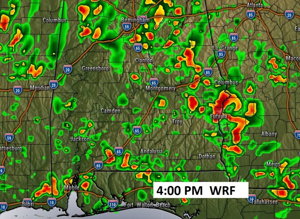
TODAY: HEAT ADVISORY. Mostly Sunny. Hotter. High near 99. Heat advisory 105+ Scattered random hit or miss storms, especially afternoon and evening. Low tonight 75.
Heat Advisory continues for a multi-state area.
Dangerous Heat Indices.
Spotty Random PM storms.
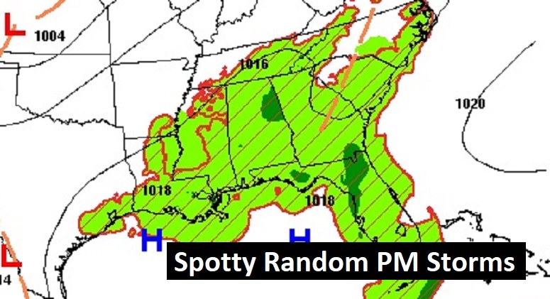
NEXT FEW DAYS: Highs will be in the upper 90’s Tuesday and Wednesday, and middle 90’s Thursday, and lower 90’s Friday and Saturday. Expect scattered random, pop up, “hit or miss” storms to return by mid and late week, especially. This week, the best rain probabilities will be Wednesday through Saturday. Showers and storms will become much more numerous, thanks to a frontal system that will approach the state and then stall right over the state, Thursday through the weekend.
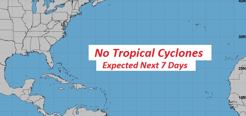
TROPICAL UPDATE:. For now, the rest of the Atlantic, the Caribbean and the Gulf of Mexico are quiet.
Thanks for reading the blog. There will be another complete Blog update and video forecast discussion tomorrow morning. This morning, everything is normal including LIVE on the Radio from 6 to 9AM on NewsTalk 93.1 – WACV. Have a nice day!!
–Rich